Bear Trail
- 0.4 mi
- round trip
- 350 ft
- climb
- 2,566 ft
- high point
- Out and back
- route
- Feb–Jun, Sep–Nov
- best months
Bear Trail is a short, easy out-and-back hike in California's Kern River country, set at a low point of about 2,400 feet. The trail runs about 0.8 miles round trip, with a total climb of roughly 350 feet to a high of about 2,566 feet. The steepest stretch comes near the start, where the grade reaches about 9 percent, and the whole route is rolling rather than steep, so it makes a quick outing or a warm-up before a longer day on foot. The nearest town is Lackey Place, about 4.6 miles away. The trip takes about half an hour, and the weather is comfortable from spring into fall. Typical averages from the nearby Glennville weather station, about 8 miles away, show May highs around 72°F and October highs around 73°F, with only a few wet days in each month. Summer highs there run near 89°F. Oak Flat Lookout campground is about 5.4 miles away, and Poso Creek offers canoeing at about 5.6 miles. The Kern River Trail lies about 6.5 miles out, and Owl Rock, a climbing area, is about 7.2 miles away.
- Oak Flat LookoutCamping5.4 mi
- Poso CreekCanoeing5.6 mi
- Cedar CreekCanoeing6.2 mi
 KERN RIVER TRAILHikingPhoto: string_bass_dave, CC BY-SA 2.0 (via Flickr)6.5 mi
- DemocratHiking6.7 mi
 Owl RockRock climbingPhoto: Annette Teng, CC BY 3.0 (via Wikimedia Commons)7.2 mi
- Evans Flat CampgroundCamping7.9 mi
 Lower Kern River CanyonRock climbingPhoto: Qwert üpoiuz, CC BY-SA 4.0 (via Wikimedia Commons)8.2 mi
Source: Roamze catalog (indexable pages within 10 miles, PostGIS distance)
- KERN RIVER TRAILHiking · ~11 min drivePhoto: string_bass_dave, CC BY-SA 2.0 (via Flickr)
 MILL CREEKHiking · ~14 min drivePhoto: Terry Lucas, CC BY 3.0 (via Wikimedia Commons)
 StarkHiking · ~18 min drivePhoto: Alexander Hatley, CC BY 2.0 (via Flickr)
- Borderline TrailHiking · ~14 min drive
- Patch CornerHiking · ~13 min drivePhoto: Terry Lucas, CC BY 3.0 (via Wikimedia Commons)
 Remington Ridge TrailHiking · ~17 min drivePhoto: daveynin, CC BY 2.0 (via Flickr)
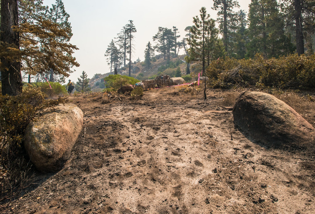 BLACK MOUNTAIN SADDLEHiking · ~24 min drivePhoto: USDAgov, Public Domain Mark (via Flickr)
- PowerhouseHiking · ~17 min drive
 Hobo FishingHiking · ~20 min drivePhoto: waterarchives, CC BY-SA 2.0 (via Flickr)
- KERN CANYONHiking · ~12 min drive
Best time to visit Bear Trail
Best months: February–June and September–November. Best months have typical highs of 55–85 °F, lows of 30 °F or warmer (32 °F where the station doesn't record snow), at most one snowy day and no more than 12 wet days.
Jan
57° / 28°
9 wet · 1 snow
Feb
57° / 30°
9 wet · 1 snow
Mar
60° / 32°
8 wet · 1 snow
Apr
64° / 35°
6 wet
May
72° / 41°
4 wet
Jun
82° / 46°
1 wet
Jul
89° / 52°
1 wet
Aug
89° / 50°
1 wet
Sep
84° / 45°
1 wet
Oct
73° / 38°
3 wet
Nov
62° / 32°
6 wet
Dec
55° / 27°
8 wet · 1 snow
Typical high / low (°F) and days with rain or snow, 1991–2020. Measured at Glennville, CA, 8 mi away at 3,140 ft. The station sits about 600 ft higher than this place, so expect it a little warmer here. Source: NOAA NCEI U.S. Climate Normals 1991–2020.
Map and trail data © OpenStreetMap contributors
