East Fork Resort
Campground
Campground · 0.7 mi from the trail
The Barney Riley Trail is a hard, out-and-back hike of about 9 miles on Bureau of Land Management land within the Sierra Front Field Office in California. The route rises from roughly 5,500 feet to a high point of 7,015 feet, with the steepest stretch at about 1.3 miles in. The total climb is about 2,800 feet, and the trail is front-loaded, meaning the most ascent comes early. Summer is the most comfortable time to go. Typical averages from a nearby weather station at Dagget Pass run to highs around 75°F in July and August with lows near 49°F and only one or two wet days a month. Winter there is cold, with highs in the mid-30s. Markleeville Campground sits less than a mile from the trail, and Curtz Lake Interpretive Trail and Thornburg Canyon are both within about 3 miles. Indian Creek Campground is about 4 miles away.
East Fork Resort
Campground
The Deli
Restaurant
Alpine County Museum
Museum
Places © OpenStreetMap contributors
More in Bear ValleyNot on Roamze yet. Their page has how to reach them.
 West Fork Carson RiverCanoeingPhoto: Skooiman at English Wikipedia, Public domain (via Wikimedia Commons)9.5 mi
Source: Roamze catalog (indexable pages within 10 miles, PostGIS distance)
 Summit Lake TrailHiking · ~6 min drivePhoto: Sank63, CC BY 2.0 (via Flickr)Millberry Creek TrailHiking · ~6 min drivePhoto: Sank63, CC BY 2.0 (via Flickr)
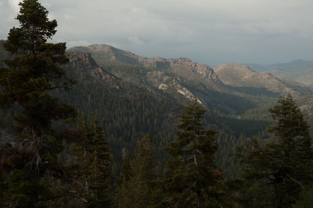 Noble CanyonHiking · ~13 min drivePhoto: Chris Mayer, CC BY 2.0 (via Flickr)
 Sawmill Creek TrailHiking · ~7 min drivePhoto: Ken Lund, CC BY-SA 2.0 (via Flickr)
 Hot Springs TrailHiking · ~7 min drivePhoto: Ken Lund, CC BY-SA 2.0 (via Flickr)
 Deer Valley 4Wd TrailHiking · ~18 min drivePhoto: jturning, CC BY-SA 3.0 (via Wikimedia Commons)
 4-Second Climbing TrailHiking · ~12 min drivePhoto: simonov, CC BY-SA 2.0 (via Flickr)Hot Springs Cutoff TrailHiking · ~7 min drivePhoto: Ken Lund, CC BY-SA 2.0 (via Flickr)
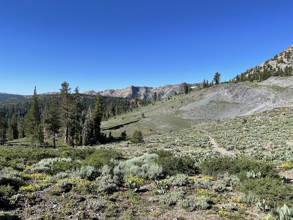 Summit CityHiking · ~19 min drivePhoto: jfdervin, CC BY-SA 2.0 (via Flickr)
Best months: May–October. Best months have typical highs of 55–85 °F, lows of 30 °F or warmer (32 °F where the station doesn't record snow), at most one snowy day and no more than 12 wet days.
Jan
36° / 23°
9 wet
Feb
37° / 23°
8 wet
Mar
42° / 26°
7 wet
Apr
48° / 29°
5 wet
May
56° / 35°
4 wet
Jun
66° / 42°
2 wet
Jul
75° / 49°
2 wet
Aug
74° / 49°
1 wet
Sep
67° / 44°
2 wet
Oct
55° / 36°
3 wet
Nov
43° / 28°
5 wet
Dec
35° / 23°
7 wet
Typical high / low (°F) and days with rain or snow, 1991–2020. Measured at Dagget Pass, NV, 21.1 mi away at 7,334 ft. This station doesn't record snowfall. Source: NOAA NCEI U.S. Climate Normals 1991–2020.
Map and trail data © OpenStreetMap contributors
