Upper Sage Flat Campground
Campground
Campground · 5.0 mi from the trail
Alert in the area
The Forest Service lists 3 alerts for Inyo National Forest.
Help Halt Golden Mussel Invasion
Agency alert covering Inyo National Forest · USFS · Inyo National Forest
Ansel Adams and John Muir Wilderness Campfire Restrictions
Agency alert covering Inyo National Forest · Order 05-04-50-25-04 · USFS · Inyo National Forest
Golden Trout and Hoover Wilderness Campfire Restrictions
Agency alert covering Inyo National Forest · Order 05-04-50-25-05 · USFS · Inyo National Forest
As of · Source: USFS · Inyo National Forest. Agencies don't list every closure — check before you go.
The Baker Creek Trail is a 4.2-mile moderate hike in the White Mountain Ranger District of Inyo National Forest, in California, on land managed by the Forest Service. The out-and-back route is about 8.4 miles long, with a total climb of 1,849 feet. It rises from a low point of about 9,848 feet to a high of 10,438 feet, and the steepest stretch comes at about the 3-mile mark, where the grade reaches 32%. The most comfortable months for a visit are typically June and July, when a nearby weather station records typical averages around 70°F and 12 inches of precipitation. Winter brings typical averages near 30°F. Plan for about 3.5 hours on the trail. The Coyote Flats to Piper Peak Trail, a mountain biking route, lies about a mile away, and the High Meadows Stock hike is about 2 miles off. Upper Sage Flat Campground and Palisade Glacier Group Campground both sit about 5 miles from the trail.
Upper Sage Flat Campground
Campground
Keough Hot Ditch
Hot spring
Places © OpenStreetMap contributors
More in BishopNot on Roamze yet. Their page has how to reach them.
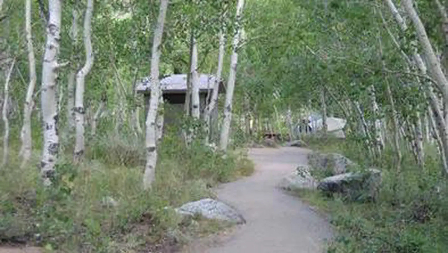 Table MountainRiver fishing6.3 mi
 Big Pine CreekCanoeingPhoto: Justin.Johnsen (talk · contribs) (Justin at Flickr), CC BY 2.0 (via Wikimedia Commons)7.2 mi
Source: Roamze catalog (indexable pages within 10 miles, PostGIS distance)
 Baker Summit TrailHiking · ~7 min drivePhoto: Moo.The.Cow, CC BY 2.0 (via Flickr)
 North Fork Big Pine Creek TrailHiking · ~7 min drivePhoto: Moo.The.Cow, CC BY 2.0 (via Flickr)
 Black Lake LoopHiking · ~8 min drivePhoto: Moo.The.Cow, CC BY 2.0 (via Flickr)
 WaterfallHiking · ~8 min drivePhoto: mjhbower, CC BY-SA 2.0 (via Flickr)
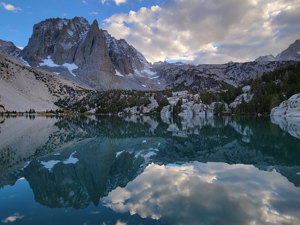 Palisade Glacier TrailHiking · ~9 min drivePhoto: Moo.The.Cow, CC BY 2.0 (via Flickr)
 Vagabond PeakHiking · ~11 min drivePhoto: mjhbower, CC BY-SA 2.0 (via Flickr)
 Logging Flat TrailHiking · ~8 min drivePhoto: Justin.Johnsen (talk · contribs) (Justin at Flickr), CC BY 2.0 (via Wikimedia Commons)
 Sixth Lake HikerHiking · ~9 min drivePhoto: David~O, CC BY 2.0 (via Flickr)
 Green Lake TrailHiking · ~10 min drivePhoto: RuggyBearLA, CC BY 2.0 (via Flickr)
 Gendarme PeakHiking · ~11 min drivePhoto: RuggyBearLA, CC BY 2.0 (via Flickr)
