Circle X Ranch Group Campground
Campground
Campground · 0.8 mi from the trail
 Photo: mjhbower, CC BY-SA 2.0 (via Flickr)
No closures listed
The National Park Service lists no closures for Santa Monica Mountains National Recreation Area.
As of · Source: NPS · Santa Monica Mountains National Recreation Area. Agencies don't list every closure — check before you go.
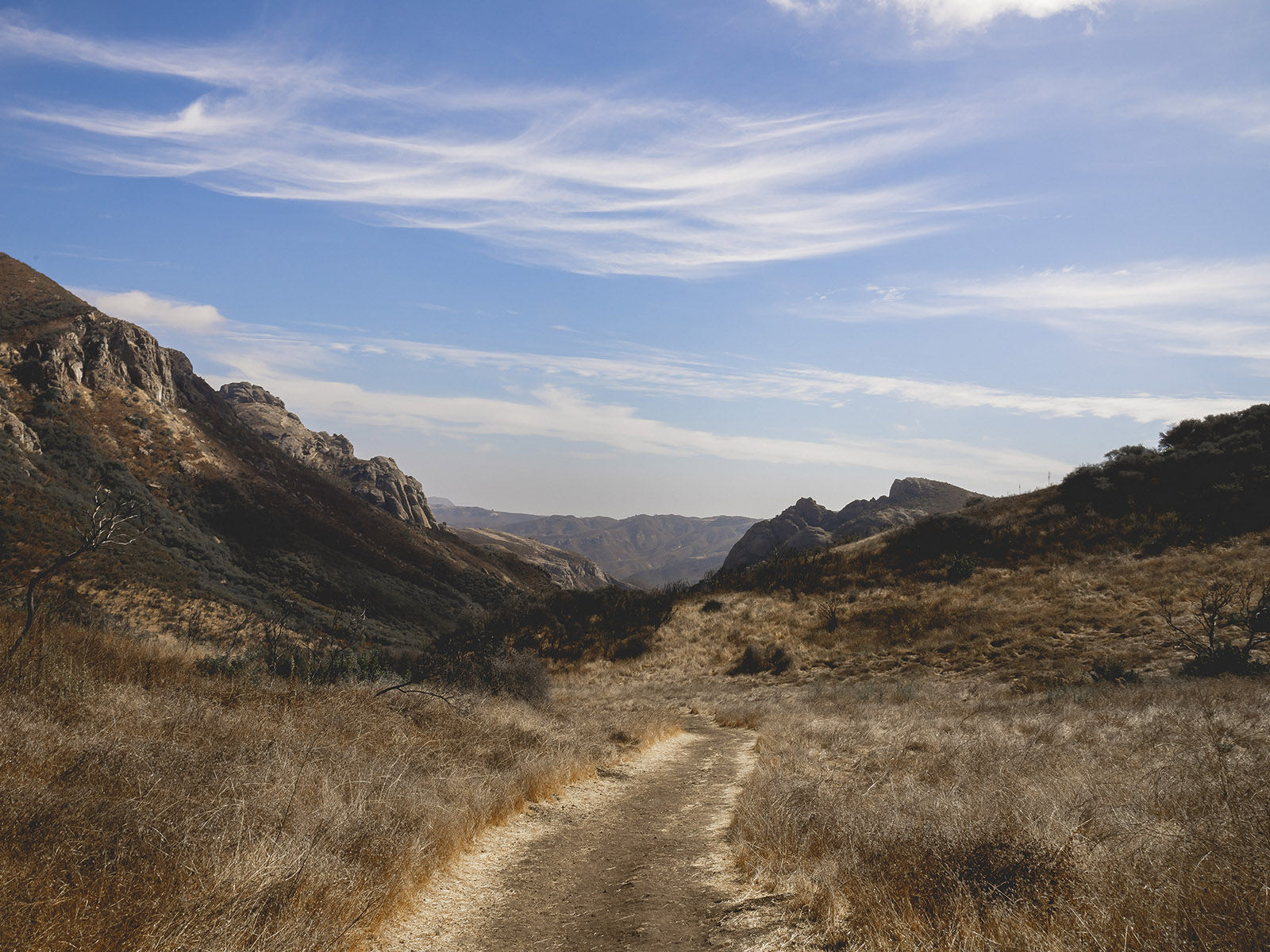
Backbone Trail is a 4-mile out-and-back hike in the Santa Monica Mountains National Recreation Area in California, managed by the National Park Service. The trail starts at about 2,323 feet and climbs to a high point of 3,016 feet, with a total elevation gain of 2,075 feet over the round trip. The climb is front-loaded, with the steepest stretch at about 0.8 miles in, where the grade reaches 30 percent. The route is rated moderate. The hike takes about 2.5 hours to complete. The trailhead sits within the recreation area, and the surrounding area offers plenty to pair with the walk. The closest neighbors are the climbing areas of Zombie Wall, Pink Wall and Dream Street, all about 0.3 miles away, and the Sandstone Peak Trail, also about 0.3 miles off. For an overnight stay, Circle X Ranch Group Campground is about 0.8 miles away.
Circle X Ranch Group Campground
Campground
 If it rainsLos Angeles, CC BY-SA 3.0 · Wikimedia Commons
Places © OpenStreetMap contributors, Places © Overture Maps Foundation · Photos: Los Angeles, CC BY-SA 3.0 (commons)
More in MoorparkDaily highs and lows, wind and the chance of precipitation at the summit and route start for the next 7 days, from the Open-Meteo model.
 Zombie WallRock climbingPhoto: simonov, CC BY-SA 2.0 (via Flickr)0.3 miPink WallRock climbingPhoto: simonov, CC BY-SA 2.0 (via Flickr)0.3 miDream StreetRock climbingPhoto: simonov, CC BY-SA 2.0 (via Flickr)0.3 mi
 White WallRock climbingPhoto: simonov, CC BY-SA 2.0 (via Flickr)0.3 mi
 Sandstone Peak TrailHikingPhoto: simonov, CC BY-SA 2.0 (via Flickr)0.3 mi
 Mishe Mokwa Trail (Backbone Trail)HikingPhoto: mjhbower, CC BY-SA 2.0 (via Flickr)0.4 mi
 Circle X RanchHikingPhoto: NPS0.8 mi
Source: Roamze catalog (indexable pages within 10 miles, PostGIS distance)
Sandstone Peak TrailHiking · Next doorPhoto: simonov, CC BY-SA 2.0 (via Flickr)Backbone TrailHiking · Next doorPhoto: mjhbower, CC BY-SA 2.0 (via Flickr)Canyon View TrailHiking · ~1 min drivePhoto: simonov, CC BY-SA 2.0 (via Flickr)Mishe Mokwa Trail (Backbone Trail)Hiking · Next doorPhoto: mjhbower, CC BY-SA 2.0 (via Flickr) Old Boney TrailHiking · ~4 min drivePhoto: Randy from Newbury Park, California, USA, CC BY 2.0 (via Wikimedia Commons)Grotto TrailHiking · ~1 min drivePhoto: simonov, CC BY-SA 2.0 (via Flickr)
 Tri Peaks Trail - East ArmHiking · ~2 min drivePhoto: simonov, CC BY-SA 2.0 (via Flickr)
About 2.0 mi round trip.
About 2,075 ft of climbing round trip.
It is rated moderate.
About 1.5 hours round trip.
Map and trail data © OpenStreetMap contributors

