Animal Trail
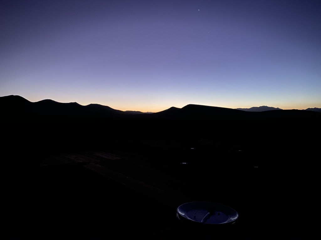
 Photo: allan.cronin, CC BY-SA 2.0 (via Flickr)
- 0.7 mi
- loop
- 38 ft
- climb
- 2,502 ft
- high point
- Loop
- route
- Oct–May
- best months
Animal Trail is a short, easy loop on Bureau of Land Management land in California's Ridgecrest Field Office, about 0.7 miles long and roughly 40 feet of elevation gain. It starts and ends at nearly the same elevation, with the high point at about 2,502 feet and the low at about 2,481 feet. The route is flat overall, with the steepest stretch at about 0.3 miles in, where the grade reaches about 2%. Spring and fall are the most comfortable times to go. Typical averages from a nearby weather station in Mojave show April highs around 72°F and October highs around 78°F, while July and August average highs near 97°F. The trail takes about half an hour to complete. Discovery Loop and Plant Trail both lie about 0.1 mile away.
- Plant TrailHikingPhoto: allan.cronin, CC BY-SA 2.0 (via Flickr)0.1 mi
 Discovery LoopHikingPhoto: allan.cronin, CC BY-SA 2.0 (via Flickr)0.1 mi
Source: Roamze catalog (indexable pages within 10 miles, PostGIS distance)
- Plant TrailHiking · Next doorPhoto: allan.cronin, CC BY-SA 2.0 (via Flickr)
 Abandoned RR BedHiking · ~43 min drivePhoto: deziluzija, CC BY-SA 2.0 (via Flickr)
 Landers Meadow TrailHiking · ~53 min drivePhoto: RuggyBearLA, CC BY 2.0 (via Flickr)
- Woolstaff Meadow TrailHiking · ~51 min drive
- Discovery LoopHiking · Next doorPhoto: allan.cronin, CC BY-SA 2.0 (via Flickr)
 Twisty Trail (TR 41)Hiking · ~54 min drivePhoto: RuggyBearLA, CC BY 2.0 (via Flickr)
- Pacific Crest National Scenic Trail #2000Hiking · ~49 min drive
- Burning Moscow Trail (TR 23)Hiking · ~53 min drive
 Hagen Canyon TrailHiking · ~23 min drivePhoto: RuggyBearLA, CC BY 2.0 (via Flickr)
- Horse Thief TrailHiking · ~46 min drive
Best time to visit Animal Trail
Best months: October–May. Best months have typical highs of 55–85 °F, lows of 30 °F or warmer (32 °F where the station doesn't record snow), at most one snowy day and no more than 12 wet days.
Jan
58° / 33°
4 wet
Feb
60° / 35°
4 wet
Mar
67° / 40°
3 wet
Apr
72° / 45°
2 wet
May
81° / 53°
1 wet
Jun
91° / 64°
0 wet
Jul
97° / 69°
0 wet
Aug
97° / 67°
1 wet
Sep
89° / 61°
1 wet
Oct
78° / 49°
1 wet
Nov
66° / 39°
2 wet
Dec
57° / 32°
3 wet
Typical high / low (°F) and days with rain or snow, 1991–2020. Measured at Mojave, CA, 18.6 mi away at 2,735 ft. Source: NOAA NCEI U.S. Climate Normals 1991–2020.
Map and trail data © OpenStreetMap contributors
