Loading…

Free — you'll pick up right here.
Watch this trail
Sign up to watch it — saving subscribes you to gate, closure and report changes.
California
9.7 mi
Distance
5,379 ft
Gain
We won't guess. Here is exactly what we do and don't know.
What we do know
Inside Stanislaus National Forest
2 managing-area boundaries mapped — agency alerts for them feed this page automatically.
Boundary data
What's missing
No access route mapped
We don't yet know which road reaches this trailhead, so we can't tell you if it's gated.
Nobody's filed a report here yet — be the first.
Why you'll love it
Andresen Mine
AI-suggested draft · review before you go
No permit or access details on file for this trail — check with the local land manager before you go.
The Andresen Mine trail is a challenging high-elevation hike that ascends nearly 5,400 feet over 9.74 miles, rewarding hikers with access to historic mining remnants and expansive alpine views. This demanding route traverses steep terrain through varied ecosystems, from lower forest to exposed ridgeline, making it ideal for experienced hikers seeking solitude and historical interest. The significant elevation gain and sustained climbing make this a full-day commitment with substantial cardiovascular demands.
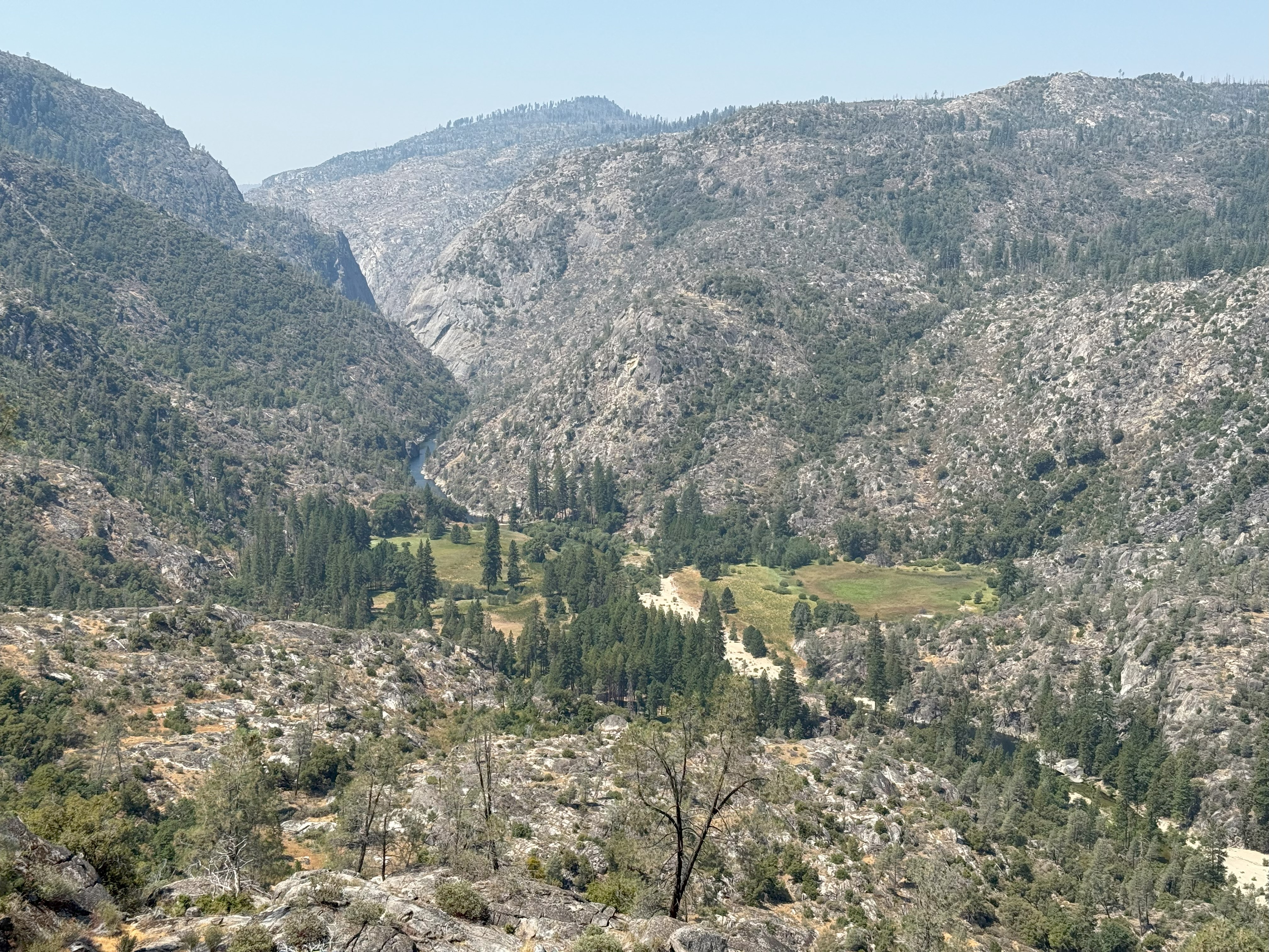
Poopenaut Valley Trailhead
~15 min drive
<p>This short, steep hike down to the Tuolumne River in Poopenaut Valley is a great spot for wildflowers in spring. Be aware that this is a steep hike on the return trip to the parking area. If you hike down, you must be able to hike back up! Parking is very limited.<br /> <br…
Cherry Creek
~2 min drive
Scenic 1.88-mile creek-side hike with steady elevation gain.
Preston Falls
~3 min drive
Moderate 8.1-mile hike to Preston Falls with 947 ft elevation gain.
Yosemite Border
~8 min drive
Scenic 3.25-mile hike along Yosemite's border with moderate elevation gain.
Trail 323248010602
~3 min drive
Steep 2-mile alpine climb with 3,362 ft elevation gain.
Tuolumne Canyon
~11 min drive
Moderate 10.45-mile canyon hike with 2,628 ft elevation gain in the Sierra foothills.
Railroad, South Fork Tuolumne
~10 min drive
Historic railroad grade trail along South Fork Tuolumne with gentle grades and river views.
Golden Stairs to Cherry Oil Rd
~8 min drive
Short foothill hike with steady climb and accessible terrain.
Huckleberry Trail
~12 min drive
A demanding 46-mile backcountry trail for experienced hikers seeking extended wilderness adventure.
Grapevine
~15 min drive
Moderate 5.13-mile hike with 1,421 ft gain near Grapevine, CA.