All The Oaks Trail
- 0.3 mi
- round trip
- 175 ft
- climb
- 451 ft
- high point
- Out and back
- route
- Feb–May, Sep–Nov
- best months
All The Oaks Trail is a short, easy out-and-back hike in Healdsburg Ridge Open Space Preserve, a regional agency-managed preserve in California. The trail is about 0.3 miles long, with a total elevation gain of 175 feet, and it reaches a high point of 451 feet. The climb is front-loaded, with the steepest stretch at about 0.25 miles in, and the route is roughly 0.6 miles round trip. Spring and fall are the most comfortable times to go. Typical averages from a nearby weather station in Healdsburg show May highs around 79°F and October highs around 77°F, while July and August average in the upper 80s and winter brings the most wet days. Nancy's Hill Trail starts just 0.1 mile away. Mill Creek and Maacama Creek, both canoeing spots, are about 5 miles off, and the Wine Country climbing area is roughly 8 miles away.
Local outfitters
- Point Reyes Outdoors39 mi away
Not on Roamze yet. Their page has how to reach them.
- Nancy's Hill TrailHiking0.1 mi
- Mill CreekCanoeing5 mi
- Maacama CreekCanoeing5.5 mi
- Windsor Creek TrailHiking6.3 mi
- Three Lakes TrailHiking6.3 mi
- Wine CountryRock climbing8.3 mi
- Boat-in Sites (lake Sonoma)Camping9 mi
- Warm Springs Rec AreaCamping9.3 mi
Source: Roamze catalog (indexable pages within 10 miles, PostGIS distance)
 Overlook TrailHiking · ~16 min drivePhoto: sarahstierch, Public Domain Dedication (CC0) (via Flickr)
- South Lake TrailHiking · ~16 min drivePhoto: sarahstierch, Public Domain Dedication (CC0) (via Flickr)
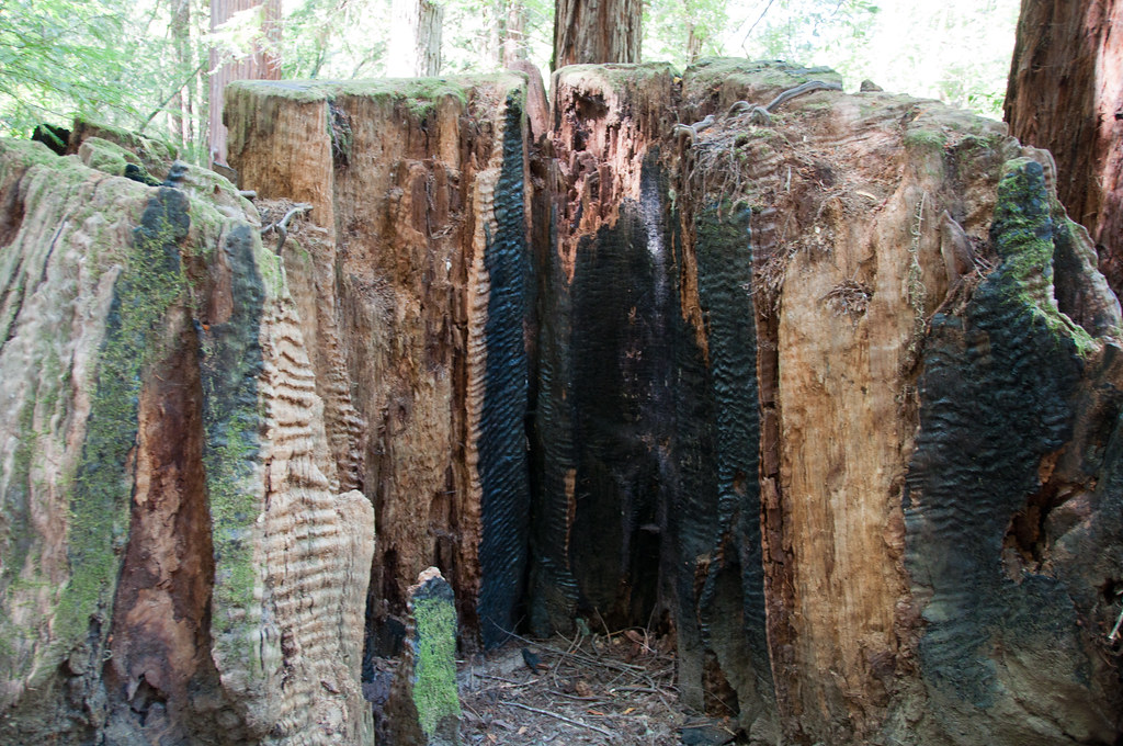 Gilliam Creek TrailHiking · ~17 min drivePhoto: Paul and Jill, CC BY 2.0 (via Flickr)
 East Ridge TrailHiking · ~18 min drivePhoto: sarahstierch, Public Domain Dedication (CC0) (via Flickr)
 Crowley's Lake View TrailHiking · ~18 min drivePhoto: vonguard, CC BY-SA 2.0 (via Flickr)
 Mount Saint Helena TrailHiking · ~21 min drivePhoto: regexman, CC BY 2.0 (via Flickr)
 Pool Ridge TrailHiking · ~17 min drivePhoto: mutovkin, CC BY 2.0 (via Flickr)
 Pioneer Nature TrailHiking · ~18 min drivePhoto: sarahstierch, Public Domain Dedication (CC0) (via Flickr)
- Pool Ridge TrailHiking · ~18 min drivePhoto: mutovkin, CC BY 2.0 (via Flickr)
- Windsor Creek TrailHiking · ~11 min drive
Best time to visit All The Oaks Trail
Best months: February–May and September–November. Best months have typical highs of 55–85 °F, lows of 30 °F or warmer (32 °F where the station doesn't record snow), at most one snowy day and no more than 12 wet days.
Jan
58° / 39°
14 wet
Feb
62° / 41°
12 wet
Mar
66° / 43°
11 wet
Apr
72° / 45°
8 wet
May
79° / 49°
4 wet
Jun
86° / 54°
1 wet
Jul
89° / 54°
0 wet
Aug
88° / 54°
0 wet
Sep
85° / 52°
1 wet
Oct
77° / 49°
4 wet
Nov
65° / 43°
8 wet
Dec
57° / 39°
13 wet
Typical high / low (°F) and days with rain or snow, 1991–2020. Measured at Healdsburg, CA, 0.7 mi away at 177 ft. Source: NOAA NCEI U.S. Climate Normals 1991–2020.
Map and trail data © OpenStreetMap contributors
