Upper Shake Campground
Campground
Campground · < 0.1 mi from the trail
Alert in the area
The Forest Service lists 7 alerts for Angeles National Forest.
Rincon-Redbox Road (2N24) Closure
Agency alert covering Angeles National Forest · Order 05-01-26-13 · USFS · Angeles National Forest
Fire Danger Level Elevated to "Very High"
Agency alert covering Angeles National Forest · USFS · Angeles National Forest
San Gabriel Canyon OHV Area Prohibitions
Agency alert covering Angeles National Forest · Order 05-01-26-09 · USFS · Angeles National Forest
San Dimas Experimental Forest Closure
Agency alert covering Angeles National Forest · USFS · Angeles National Forest
Eaton Fire Area Closure
Agency alert covering Angeles National Forest · Order 05-01-26-04 · USFS · Angeles National Forest
As of · Source: USFS · Angeles National Forest. Agencies don't list every closure — check before you go.
Closed Campground.
Upper Shake Campground
Campground
Crossroads
Bar
 If it rainsNorris M. Knaus, Public domain · Wikimedia Commons
Places © OpenStreetMap contributors · Photos: Norris M. Knaus, Public domain (commons)
More in Acton Burnt PeakSummitPhoto: Chevy111, CC BY-SA 3.0 (via Wikimedia Commons)2.7 mi
 Arthur B. Ripley Desert Woodland State ParkState parkPhoto: Scottthezombie, CC BY-SA 3.0 (via Wikimedia Commons)4.4 mi
 Castaic CreekCanoeingPhoto: Albaum at English Wikipedia, Public domain (via Wikimedia Commons)8.9 mi
Source: Roamze catalog (indexable pages within 10 miles, PostGIS distance)
Also worth it near here
Burnt PeakSummit · ~5 min drivePhoto: Chevy111, CC BY-SA 3.0 (via Wikimedia Commons)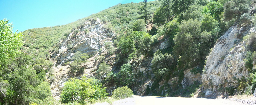 Warm Springs TrailHiking · ~11 min drivePhoto: tkksummers, CC BY-SA 2.0 (via Flickr)Castaic CreekCanoeing · ~15 min drivePhoto: Albaum at English Wikipedia, Public domain (via Wikimedia Commons)
Best months: March–June and September–November. Best months have typical highs of 55–85 °F, lows of 30 °F or warmer (32 °F where the station doesn't record snow), at most one snowy day and no more than 12 wet days.
Jan
52° / 39°
7 wet
Feb
53° / 38°
8 wet
Mar
57° / 41°
7 wet
Apr
62° / 43°
5 wet
May
70° / 49°
3 wet
Jun
80° / 58°
1 wet
Jul
88° / 65°
1 wet
Aug
88° / 65°
1 wet
Sep
83° / 61°
1 wet
Oct
71° / 52°
2 wet
Nov
60° / 44°
4 wet
Dec
52° / 38°
6 wet
Typical high / low (°F) and days with rain or snow, 1991–2020. Measured at Sandberg, CA, 11.7 mi away at 4,510 ft. This station doesn't record snowfall. Source: NOAA NCEI U.S. Climate Normals 1991–2020.
Upper Shake Campground
Book on Recreation.gov
