Southwest Campground
- May–Oct
- best months
Clear today
Weather is good · OpenWeather · checked 3 h ago
Is Southwest Campground open right now?
Closure in the area
There's a closure order in Lassen Volcanic National Park. It doesn't name Southwest Campground, so check the source for the area it covers.
Lassen National Park Highway Closed to Vehicle Traffic
Park closure covering Lassen Volcanic National Park · NPS · Lassen Volcanic National Park
As of · Source: NPS · Lassen Volcanic National Park. Agencies don't list every closure — check before you go.
- At 6,706 ft
- Lassen Volcanic National Park
Southwest Campground is a campground in California at about 6,706 feet. It is managed by the National Park Service.
Best time to go · May–Oct
Best time to visit Southwest Campground
Best months: May–October. Best months have typical highs of 55–85 °F, lows of 30 °F or warmer (32 °F where the station doesn't record snow), at most one snowy day and no more than 12 wet days.
Jan
41° / 22°
Feb
42° / 22°
Mar
46° / 24°
Apr
50° / 27°
May
61° / 35°
Jun
70° / 41°
Jul
79° / 46°
Aug
78° / 45°
Sep
72° / 41°
Oct
59° / 33°
Nov
47° / 26°
Dec
39° / 22°
Typical high / low (°F) and days with rain or snow, 1991–2020. Measured at Manzanita Lake, CA, 7.6 mi away at 5,750 ft. The station sits about 1,000 ft lower than this place, so expect it a little cooler here. This station doesn't record snowfall. Source: NOAA NCEI U.S. Climate Normals 1991–2020.
Facts about this campground
Keep exploring — more campsites worth the drive
BED
Manzanita Lake
~11 min drive
BED
Summit Lake South
~12 min drive
BED
Summit Lake North
~12 min drive
BED
Summit Lake Stock Corral
~12 min drive
BED
Lost Creek Group
~15 min drive
BED
Juniper Lake Stock Corral
~21 min drive
BED
Juniper Lake Group
~21 min drive
BED
Butte Lake
~25 min drive
BED
Butte Lake Group
~25 min drive
BED
Butte Lake Stock Corral
~25 min drive
Also worth it near here
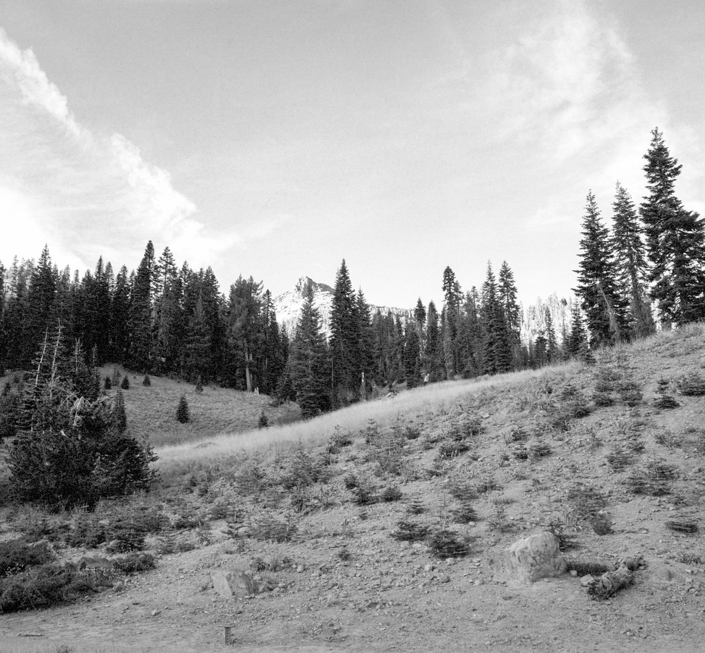 Photo: nonbinaryanalog, CC BY-SA 2.0 (via Flickr)
Ridge Lakes Trail
~1 min drive
SEE
Mill Creek Falls
~2 min drive
 Photo: LassenNPS, Public domain (via Wikimedia Commons)
Brokeoff Mountain
~3 min drive
 Photo: T1madpaintballer at English Wikipedia, Public domain (via Wikimedia Commons)
Bumpass Hell
~4 min drive
Map and trail data © OpenStreetMap contributors
