Shoreline RV Park & Campground
- 190
- sites
- May–Oct
- best months
- 190 sites
- At 11 ft
Shoreline RV Park & Campground is a campground in California at about 11 feet, with 190 sites.
Local outfitters
- Beachfront RV Park21 mi away
- Turtle Rock RV Resort46 mi away
Not on Roamze yet. Their page has how to reach them.
- Shoreline CampgroundBeach0.1 mi
- Beach Front ParkBeach0.3 mi
- Crescent Beach (Crescent City)Beach1.3 mi
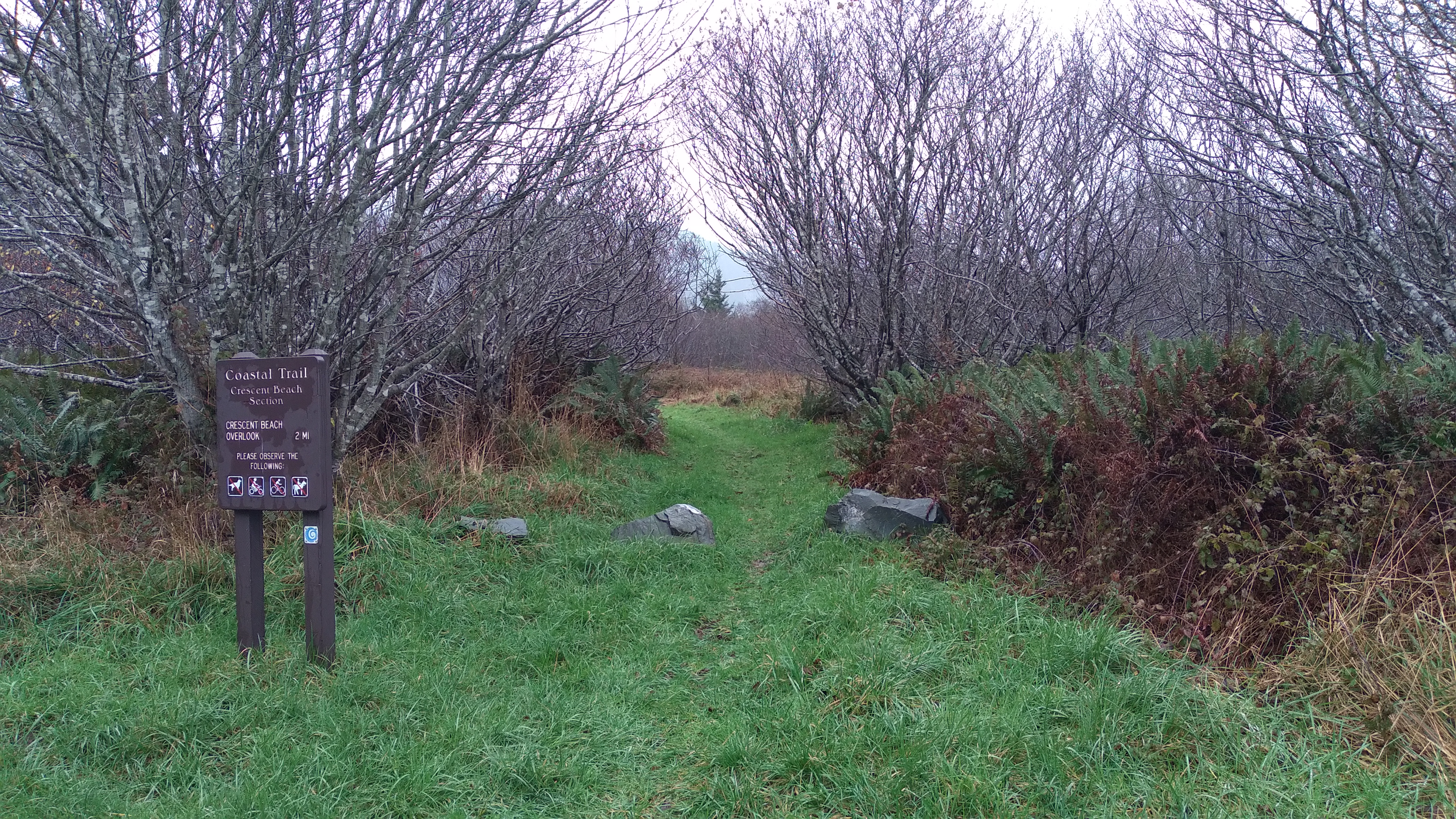 Coastal Trail: Crescent BeachHiking2.7 mi
 Rellim Ridge TrailHikingPhoto: Tori Sloane, CC BY-SA 3.0 (via Wikimedia Commons)3 mi
 Dead Lake TrailHikingPhoto: Sheila Sund from Salem, United States, CC BY 2.0 (via Wikimedia Commons)3 mi
- Tolowa Dunes State ParkState park3.8 mi
 Jedediah Smith Redwoods State ParkState parkPhoto: Mario Vaden (talk · contribs), Public domain (via Wikimedia Commons)6.5 mi
Source: Roamze catalog (indexable pages within 10 miles, PostGIS distance)
- Panther Flat CampgroundCamping · ~26 min drive
- Seaview RV ParkCamping · Next door
- Bayside RV ParkCamping · ~1 min drive
- Redwood Harbor VillageCamping · ~1 min drive
- Crescent City-Redwoods KOACamping · ~9 min drive
- Mill Creek CampgroundCamping · ~10 min drive
- Jedediah Smith CampgroundCamping · ~11 min drive
- Redwood Meadows RV ParkCamping · ~12 min drive
- Little Bald Hills CampCamping · ~13 min drive
- County parkCamping · ~14 min drive
Best time to visit Shoreline RV Park & Campground
Best months: May–October. Best months have typical highs of 55–85 °F, lows of 30 °F or warmer (32 °F where the station doesn't record snow), at most one snowy day and no more than 12 wet days.
Jan
56° / 42°
17 wet
Feb
56° / 42°
14 wet
Mar
56° / 43°
17 wet
Apr
57° / 44°
14 wet
May
59° / 47°
10 wet
Jun
62° / 49°
6 wet
Jul
63° / 52°
4 wet
Aug
64° / 53°
6 wet
Sep
64° / 50°
8 wet
Oct
62° / 47°
12 wet
Nov
58° / 44°
15 wet
Dec
55° / 41°
18 wet
Typical high / low (°F) and days with rain or snow, 1991–2020. Measured at Crescent City Mcnamara Ap, CA, 3.1 mi away at 56 ft. This station doesn't record snowfall. Source: NOAA NCEI U.S. Climate Normals 1991–2020.

Map and trail data © OpenStreetMap contributors
