Monte Cristo
Campground
Campground · < 0.1 mi from the trail
Alert in the area
The Forest Service lists 7 alerts for Angeles National Forest.
Rincon-Redbox Road (2N24) Closure
Agency alert covering Angeles National Forest · Order 05-01-26-13 · USFS · Angeles National Forest
Fire Danger Level Elevated to "Very High"
Agency alert covering Angeles National Forest · USFS · Angeles National Forest
San Gabriel Canyon OHV Area Prohibitions
Agency alert covering Angeles National Forest · Order 05-01-26-09 · USFS · Angeles National Forest
San Dimas Experimental Forest Closure
Agency alert covering Angeles National Forest · USFS · Angeles National Forest
Eaton Fire Area Closure
Agency alert covering Angeles National Forest · Order 05-01-26-04 · USFS · Angeles National Forest
As of · Source: USFS · Angeles National Forest. Agencies don't list every closure — check before you go.
Monte Cristo is a Forest Service campground in the Los Angeles Gateway Ranger District of Angeles National Forest in California. The land is managed by the Forest Service, and the site has vault toilets. Spring and fall are the most comfortable times to visit. Typical averages from the Pearblossom weather station, about 16 miles away, show April highs near 75°F and October highs near 80°F, while July and August average around 98 to 99°F. Several trails start close by. Fall Creek Trail is about 2.3 miles away and Monte Cristo Trail about 2.5 miles. Alder Creek Trail is about 2.9 miles off. Climbers can head to the Angeles National Forest climbing area, roughly 3.9 miles away.
Monte Cristo
Campground
'49er Saloon
Restaurant
 If it rainsDoncram, CC BY-SA 3.0 · Wikimedia Commons
Historic American Craftsman era stone building in Tujunga, Los Angeles County, California
Places © OpenStreetMap contributors · Photos: Doncram, CC BY-SA 3.0 (commons)
More in Acton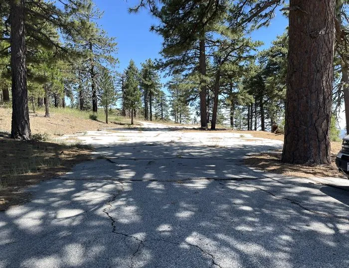 Lightning Point Group CampgroundCampingPhoto: Recreation.gov (RIDB) / public domain4.6 mi
 Big Tujunga CreekCanoeingPhoto: MajaTrochimczyk, CC BY 3.0 us (via Wikimedia Commons)7 mi
Source: Roamze catalog (indexable pages within 10 miles, PostGIS distance)
Also worth it near here
 Strawberry Peak TrailHiking · ~6 min drivePhoto: mjhbower, CC BY-SA 2.0 (via Flickr)
 Strawberry PeakSummit · ~7 min drivePhoto: Justin, CC BY-SA 2.0 (via Wikimedia Commons)
 Strawberry Spur TrailMountain biking · ~8 min drivePhoto: Crishazzard, CC BY-SA 4.0 (via Wikimedia Commons)
Best months: October–May. Best months have typical highs of 55–85 °F, lows of 30 °F or warmer (32 °F where the station doesn't record snow), at most one snowy day and no more than 12 wet days.
Jan
60° / 38°
4 wet
Feb
63° / 39°
4 wet
Mar
69° / 42°
3 wet
Apr
75° / 45°
2 wet
May
84° / 53°
1 wet
Jun
93° / 61°
0 wet
Jul
99° / 67°
1 wet
Aug
98° / 67°
1 wet
Sep
91° / 62°
1 wet
Oct
80° / 53°
1 wet
Nov
67° / 43°
2 wet
Dec
58° / 36°
4 wet
Typical high / low (°F) and days with rain or snow, 1991–2020. Measured at Pearblossom, CA, 16.4 mi away at 3,101 ft. The station sits about 500 ft lower than this place, so expect it a little cooler here. Source: NOAA NCEI U.S. Climate Normals 1991–2020.
