Lower Bee Camp
- Oct–May
- best months
Is Lower Bee Camp open right now?
Closure in the area
There's a closure order in Monterey Ranger District. It doesn't name Lower Bee Camp, so check the source for the area it covers.
Monterey Ranger District Emergency Closure Order with Exceptions
Agency closure covering Monterey Ranger District · Order 05-07-51-26-11 · USFS · Monterey Ranger District
Los Padres Fire Use and Firearm Restrictions
Agency alert covering Los Padres National Forest · Order 05-07-00-26-05 · USFS · Los Padres National Forest
San Carpoforo Beach Prohibition of Overnight Camping and Campfires
Agency alert covering Monterey Ranger District · Order 05-07-51-26-03 · USFS · Monterey Ranger District
Santa Barbara Front Country Fire Use Restrictions
Agency alert covering Los Padres National Forest · Order 05-07-5406-01 · USFS · Los Padres National Forest
As of · Source: USFS · Monterey Ranger District. Agencies don't list every closure — check before you go.
- At 2,852 ft
- Ventana WildernessMonterey Ranger District · Los Padres National Forest
Lower Bee Camp is a campground in California at about 2,852 feet. It is managed by the U.S. Forest Service.
- North Coast Ridge TrailHiking0.9 mi
- Lost Valley ConnectorHiking1.5 mi
- John Little State ReserveState park2.7 mi
- Marble PeakSummit4.2 mi
- EscondidoCamping5.1 mi
 McWay FallsWaterfallPhoto: King of Hearts, CC BY-SA 3.0 (via Wikimedia Commons)5.5 mi
- Twin PeakSummit6.4 mi
- Arroyo SecoCanoeing8.9 mi
Source: Roamze catalog (indexable pages within 10 miles, PostGIS distance)
- Lost Valley CampCamping · ~4 min drive
- Fish CampCamping · ~5 min drive
- Redwood CampCamping · ~6 min drive
- Upper Higgins CampCamping · ~6 min drive
- Indian Valley CampCamping · ~7 min drive
- Higgins Cabin CampCamping · ~7 min drive
- Camp MCCamping · ~7 min drive
- Highlands CampCamping · ~7 min drive
- Free Camping. Sunset - SunriseCamping · ~8 min drive
- Zigzag CampCamping · ~8 min drive
Also worth it near here
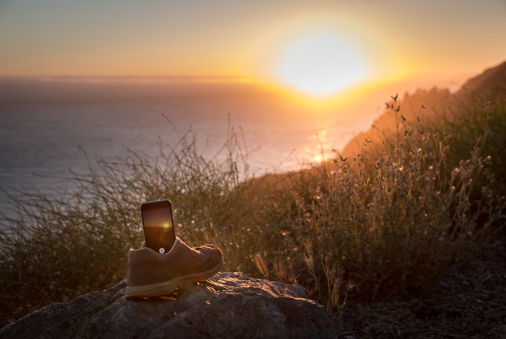 Upper Dolan Ridge TrailHiking · ~4 min drivePhoto: Mr Moss, CC BY 2.0 (via Flickr)
- McWay FallsWaterfall · ~9 min drivePhoto: King of Hearts, CC BY-SA 3.0 (via Wikimedia Commons)
 North Coast RidgeMountain biking · ~10 min drivePhoto: garmonb0zia, CC0 (via Wikimedia Commons)
 Cone PeakSummit · ~12 min drivePhoto: Doug Letterman, CC BY 2.0 (via Wikimedia Commons)
Best time to visit Lower Bee Camp
Best months: October–May. Best months have typical highs of 55–85 °F, lows of 30 °F or warmer (32 °F where the station doesn't record snow), at most one snowy day and no more than 12 wet days.
Jan
63° / 34°
12 wet
Feb
64° / 36°
11 wet
Mar
68° / 38°
10 wet
Apr
72° / 39°
6 wet
May
80° / 43°
3 wet
Jun
89° / 47°
1 wet
Jul
96° / 50°
0 wet
Aug
96° / 50°
0 wet
Sep
92° / 48°
1 wet
Oct
82° / 43°
3 wet
Nov
70° / 37°
7 wet
Dec
62° / 33°
11 wet
Typical high / low (°F) and days with rain or snow, 1991–2020. Measured at Pinnacles Nm, CA, 33.4 mi away at 1,307 ft. The station sits about 1,500 ft lower than this place, so expect it a little cooler here. Source: NOAA NCEI U.S. Climate Normals 1991–2020.
Map and trail data © OpenStreetMap contributors
