Government Camp
Is Government Camp open right now?
Alert in the area
The Forest Service lists 19 alerts for Mendocino National Forest.
Pile burning on M5 Road in western Colusa County Nov. 4-6
Agency alert covering Mendocino National Forest · USFS · Mendocino National Forest
Heavy equipment in Three Prong Campground
Agency alert covering Mendocino National Forest · USFS · Mendocino National Forest
Chico Seed Orchard Public Use and Access Closure
Agency alert covering Mendocino National Forest · Order 08-26-02 · USFS · Mendocino National Forest
M10 Road Status - closure in place Mondays-Fridays
Agency alert covering Mendocino National Forest · USFS · Mendocino National Forest
Alder Springs understory burn Oct. 28-29
Agency alert covering Mendocino National Forest · USFS · Mendocino National Forest
As of · Source: USFS · Mendocino National Forest. Agencies don't list every closure — check before you go.
- At 5,745 ft
- Grindstone Ranger DistrictMendocino National Forest
Government Camp is a campground in California at about 5,745 feet. It is managed by the U.S. Forest Service.
- Sugar SpringsCamping1 mi
- Wells CabinCamping1.8 mi
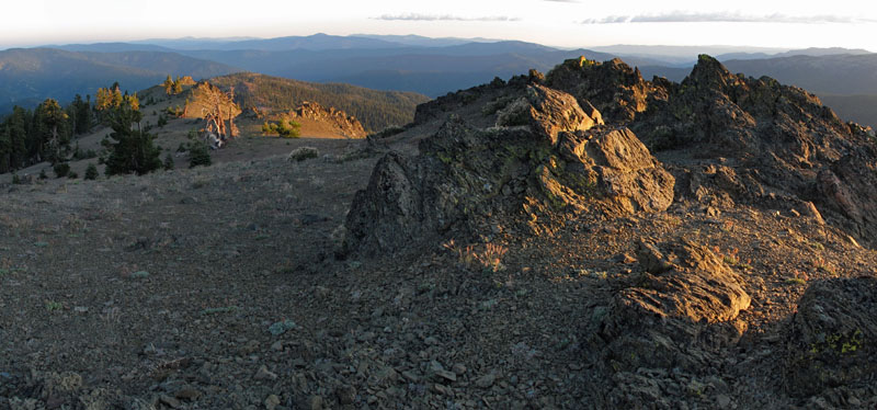
 Anthony PeakSummitPhoto: USFS Region 5, CC BY 2.0 (via Wikimedia Commons)1.9 mi
- Willow CreekCanoeing3.4 mi
- Board CreekCanoeing3.8 mi
- Grindstone Camp TrailHiking3.8 mi
- Little Doe TrailHiking4 mi
- Hammerhorn MountainSummit9.7 mi
Source: Roamze catalog (indexable pages within 10 miles, PostGIS distance)
- Masterson Group CampgroundCamping · ~17 min drive
- Sugar SpringsCamping · ~2 min drive
- Wells CabinCamping · ~3 min drive
- Howard Lake CgCamping · ~6 min drive
- Blackjack CampCamping · ~7 min drive
- One Bee CampCamping · ~7 min drive
- Boardman Ridge CampgroundCamping · ~7 min drive
- General Campgrounds & TrailheadsCamping · ~8 min drive
- Hammerhorn CampgroundCamping · ~12 min drive
- Atchison CampgroundCamping · ~13 min drive


Map and trail data © OpenStreetMap contributors
