Los Prietos
Campground
Campground · 8.7 mi from the trail
Goleta Beach County Park is a beach in California, about a mile from the University of California-Santa Barbara. The park itself is the land unit, and it sits right along the coastline, making it a natural stop for anyone already in town. The warmest stretch runs from June through September, when typical highs reach about 70 to 74°F and the weather is nearly dry, according to averages from the nearby Santa Barbara airport weather station. Winter stays mild, with typical highs around 64°F and lows near 40 to 44°F, and rain comes on about six days a month from December through February. The closest outings are Pond Trail and Marsh Trail North, both about 2.7 miles away. Climbers can head to The Amphitheater, about 5.5 miles out, and Los Prietos campground is roughly 8.7 miles away.
Los Prietos
Campground
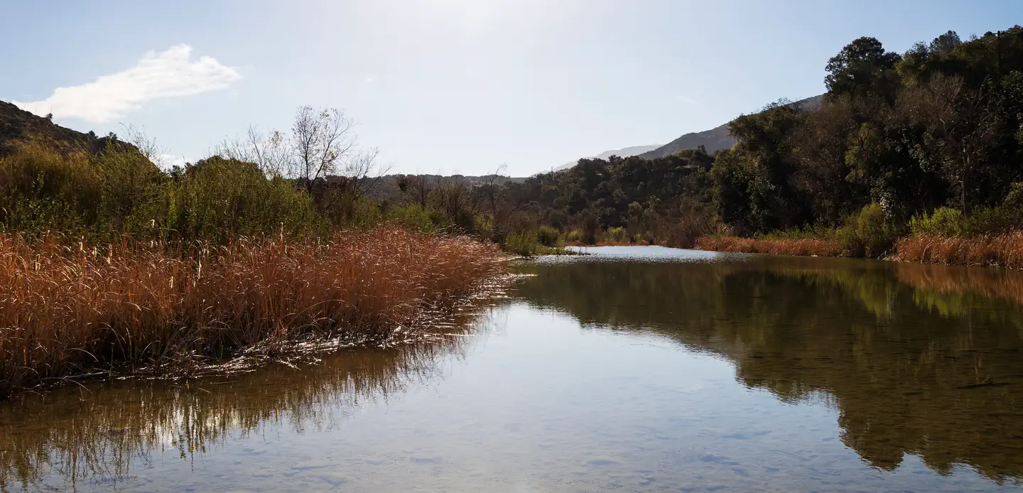
 If it rainsAirickson, CC BY-SA 4.0 · Wikimedia Commons
Places © OpenStreetMap contributors, Places © Overture Maps Foundation · Photos: Airickson, CC BY-SA 4.0 (commons)
More in Carpinteria Little Lebowski Urban Achievers CragRock climbingPhoto: DieselDemon, CC BY 2.0 (via Flickr)5.6 mi
 Los PrietosCampingPhoto: Recreation.gov (RIDB) / public domain8.7 mi
 Sage HillSaltwater fishing8.7 mi
Source: Roamze catalog (indexable pages within 10 miles, PostGIS distance)
Best months: Year-round. Best months have typical highs of 55–85 °F, lows of 30 °F or warmer (32 °F where the station doesn't record snow), at most one snowy day and no more than 12 wet days.
Jan
64° / 41°
6 wet
Feb
64° / 44°
7 wet
Mar
66° / 46°
6 wet
Apr
68° / 48°
3 wet
May
69° / 51°
2 wet
Jun
70° / 54°
1 wet
Jul
73° / 58°
0 wet
Aug
74° / 58°
0 wet
Sep
74° / 56°
1 wet
Oct
73° / 51°
2 wet
Nov
69° / 44°
3 wet
Dec
64° / 40°
6 wet
Typical high / low (°F) and days with rain or snow, 1991–2020. Measured at Santa Barbara Muni Ap, CA, 0.9 mi away at 9 ft. We don't have this place's elevation, so higher spots nearby can run cooler. This station doesn't record snowfall. Source: NOAA NCEI U.S. Climate Normals 1991–2020.

