Sunrise Arch
- 1,862 ft
- elevation
- Forest Service
- managed by
- Nov–Apr
- best months
Is Sunrise Arch open right now?
Alert in the area
The Forest Service lists 5 alerts for Tonto National Forest.
Rattlesnake Cove Developed Recreation Site - Post Flood Recovery and Public Safety Closure
Agency alert covering Tonto National Forest · Order 3-12-01-26-36 · USFS · Tonto National Forest
Canyon Lake Drawdown Public Safety Closure
Agency alert covering Tonto National Forest · Order 03-12-00-26-22 · USFS · Tonto National Forest
No Fire Restrictions
Agency alert covering Tonto National Forest · USFS · Tonto National Forest
Lower Salt River Seasonal Bald Eagle Closures
Agency alert covering Mesa Ranger District · Order 03-12-03-24-65 · USFS · Mesa Ranger District
Roosevelt Lake Seasonal Wildlife Closure
Agency alert covering Tonto National Forest · Order 12-16-5 · USFS · Tonto National Forest
As of · Source: USFS · Tonto National Forest. Agencies don't list every closure — check before you go.
Sunrise Arch is a natural arch in the Mesa Ranger District of Tonto National Forest in Arizona, about 11 miles from Apache Junction. The Forest Service manages the land, and the arch sits at roughly 1,860 feet. Spring and fall are the most comfortable times to visit. Typical averages from a nearby weather station at Stewart Mtn Dam show March highs around 78°F and November highs around 78°F, while July and August average in the mid-100s. That station sits about 440 feet lower than the arch, so temperatures at the arch run a little cooler. Several climbing areas lie about 1.5 miles away, including Lost Whiskey Wall, River Crag and Saguaro Lake. Larry Forbis campground is about 1.8 miles off, and the Saguaro Lake Vista hike is about 2 miles away.
- Elevation
- 1,862 ft
- Land manager
- Forest Service
Elevation from USGS 3D Elevation Program terrain data (about 10 m resolution).
 Lost Whiskey WallRock climbingPhoto: davidpinter, CC BY 3.0 (via Wikimedia Commons)1.5 mi
- River CragRock climbingPhoto: davidpinter, CC BY 3.0 (via Wikimedia Commons)1.5 mi
- Saguaro LakeRock climbingPhoto: davidpinter, CC BY 3.0 (via Wikimedia Commons)1.5 mi
- Larry ForbisCamping1.8 mi
- Saguaro Lake VistaHiking2 mi
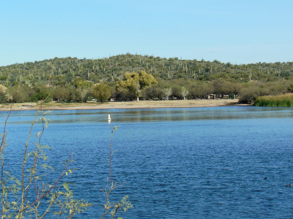 Butcher JonesHikingPhoto: William Herron, CC BY-SA 2.0 (via Flickr)2.2 mi
- The Rolls OHV Area - Butcher Jones AccessCamping2.5 mi
- Palo VerdeLake fishing6.4 mi
Source: Roamze catalog (indexable pages within 10 miles, PostGIS distance)
Best time to visit Sunrise Arch
Best months: November–April. Best months have typical highs of 55–85 °F, lows of 30 °F or warmer (32 °F where the station doesn't record snow), at most one snowy day and no more than 12 wet days.
Jan
69° / 39°
5 wet
Feb
72° / 41°
5 wet
Mar
78° / 46°
4 wet
Apr
85° / 50°
2 wet
May
93° / 59°
1 wet
Jun
103° / 68°
1 wet
Jul
105° / 76°
3 wet
Aug
104° / 76°
5 wet
Sep
100° / 69°
4 wet
Oct
90° / 56°
2 wet
Nov
78° / 45°
3 wet
Dec
68° / 38°
4 wet
Typical high / low (°F) and days with rain or snow, 1991–2020. Measured at Stewart Mtn Dam, AZ, 0.7 mi away at 1,422 ft. Source: NOAA NCEI U.S. Climate Normals 1991–2020.

