Watershed Loop
- 8.2 mi
- round trip
- 1,544 ft
- climb
- Singletrack
- surface
- Out and back
- route
- Nov–Mar
- best months
Clear today
Weather is good · OpenWeather · checked 8 h ago
The Watershed Loop is an out-and-back mountain biking route in SARA Park in Arizona, on county land. The ride is 16.3 miles long and climbs a total of 1,544 feet, with the high point at 1,064 feet and the low at 641 feet. The route is moderate in difficulty, and the steepest stretch comes at about 7.1 miles in, where the grade reaches 11%. Spring and fall are the most comfortable times to ride. Typical averages from a nearby weather station in Lake Havasu City, which sits about 615 feet lower than the trail, run from highs around 78°F in March to 89°F in October. Midsummer highs there average 109°F, and the station records no snow days all year. Several other trails lie close by. The Friendly Fair Trail and Trash Can are each about 0.1 mile away, and the Watershed Loop - Crack Trail (Yellow) is about 0.5 mile off. For hiking, Sonny's Trail is about 0.5 mile away.
Local outfitters
- Arizona State Parks & Trails6 mi away
Not on Roamze yet. Their page has how to reach them.
- Friendly Fair TrailMountain biking0.1 mi
- Trash CanMountain biking0.1 mi
- Multiple Offers WREMountain biking0.3 mi
- Sonny's TrailHiking0.5 mi
- Watershed Loop - Crack Trail (Yellow)Mountain biking0.5 mi
- Naked Man TrailHiking0.7 mi
- Pilot Rock TrailHiking1.3 mi
 4455AaHikingPhoto: Patriot1423, CC BY-SA 4.0 (via Wikimedia Commons)1.3 mi
Source: Roamze catalog (indexable pages within 10 miles, PostGIS distance)
 Friendly Fair TrailMountain biking · Next doorPhoto: Patriot1423, CC BY-SA 4.0 (via Wikimedia Commons)
- Friendly Fair TrailMountain biking · Next door
- Trash CanMountain biking · Next door
- Multiple Offers WREMountain biking · Next doorPhoto: Patriot1423, CC BY-SA 4.0 (via Wikimedia Commons)
- Friendly Fair TrailMountain biking · Next door
- Trash CanMountain biking · Next door
 Naked Man TrailMountain biking · ~1 min drivePhoto: mypubliclands, Public domain (via Wikimedia Commons)
- Pilot Rock TrailMountain biking · ~2 min drive
- Multiple Offers WREMountain biking · Next door
- Ghost BikesMountain biking · ~3 min drivePhoto: mypubliclands, Public domain (via Wikimedia Commons)
Also worth it near here
- 4455AaHiking · ~2 min drivePhoto: Patriot1423, CC BY-SA 4.0 (via Wikimedia Commons)
 Lake HavasuRock climbing · ~5 min drivePhoto: wshilling101, CC BY-SA 3.0 (via Wikimedia Commons)
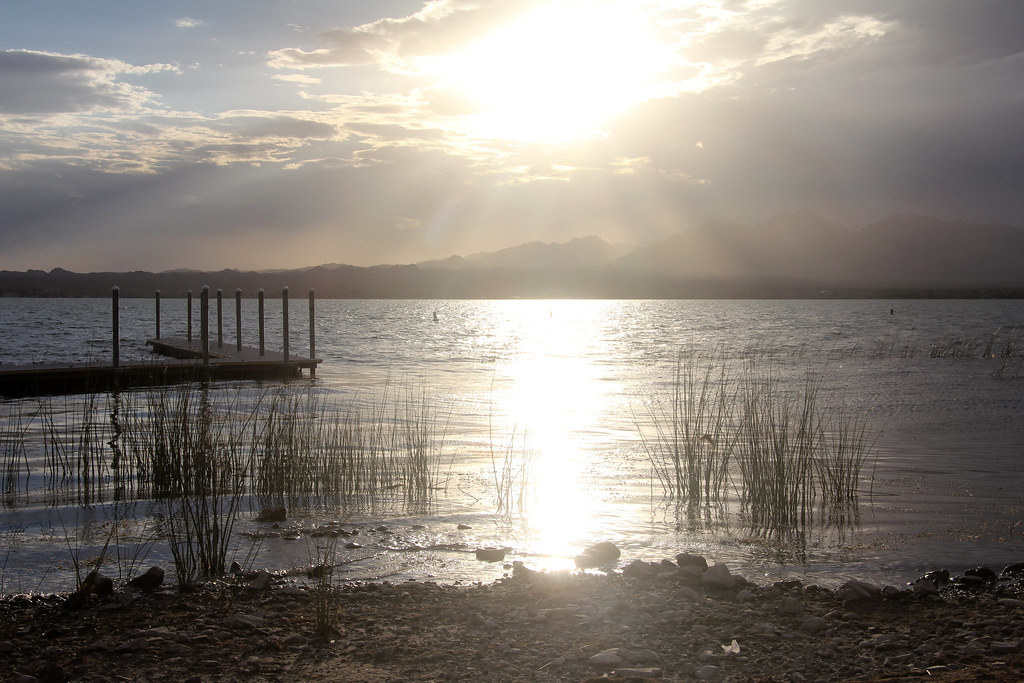 Lake Havasu State ParkCamping · ~11 min drivePhoto: EduardMarmet — CC BY-SA 2.0 (via Flickr)
- Copper Basin ReservoirLake fishing · ~19 min drive
Best time to visit Watershed Loop
Best months: November–March. Best months have typical highs of 55–85 °F, lows of 30 °F or warmer (32 °F where the station doesn't record snow), at most one snowy day and no more than 12 wet days.
Jan
65° / 43°
3 wet
Feb
70° / 46°
2 wet
Mar
78° / 51°
2 wet
Apr
86° / 58°
1 wet
May
95° / 67°
0 wet
Jun
105° / 76°
0 wet
Jul
109° / 83°
1 wet
Aug
108° / 82°
2 wet
Sep
102° / 75°
2 wet
Oct
89° / 62°
1 wet
Nov
75° / 50°
1 wet
Dec
64° / 42°
2 wet
Typical high / low (°F) and days with rain or snow, 1991–2020. Measured at Lake Havasu City, AZ, 6.8 mi away at 449 ft. The station sits about 600 ft lower than this place, so expect it a little cooler here. Source: NOAA NCEI U.S. Climate Normals 1991–2020.
Map and trail data © OpenStreetMap contributors
