Algonquin
- 5.9 mi
- distance
- 2,498 ft
- climb
Is Algonquin open right now?
Closure in the area
There's a closure order in Bradshaw Ranger District. It doesn't name Algonquin, so check the source for the area it covers (2 listed).
Lynx Lake Boat Ramp and Trail Closure Order
Agency closure covering Bradshaw Ranger District · Order 03-09-03-26-12 · USFS · Bradshaw Ranger District
NFS Road 354 Closure Order #03-07-26-02
Agency closure covering Prescott National Forest · Order 03-07-26-02 · USFS · Prescott National Forest
As of · Source: USFS · Bradshaw Ranger District. Agencies don't list every closure — check before you go.
Algonquin is a mountain biking route in Arizona's Bradshaw Ranger District of the Prescott National Forest, managed by the Forest Service. The ride starts at about 5,466 feet and climbs to roughly 6,900 feet, with a total gain of about 2,500 feet over about 6 miles. The steepest stretch comes around 3.3 miles in, where the grade reaches about 44%. The route is a substantial climb with a fair amount of descent, as the total loss is about 1,900 feet. It's a ride that works well with other outings in the area. The Crown King Area (Horsethief Basin) fishing waters are about 1.7 miles away, and King Dome climbing is about 1.9 miles off. The Horsethief Canyon mountain biking trail lies about 2 miles away, and the Bradshaw Trail hike is about 3 miles away.
- Crown King Area (Horsethief Basin)River fishing1.7 mi
- King DomeRock climbing1.9 mi
- Horsethief CanyonMountain biking2 mi
- Horsethief RecreationMountain biking2.9 mi
 Bradshaw TrailHikingPhoto: Ken Lund from Reno, Nevada, USA, CC BY-SA 2.0 (via Wikimedia Commons)3 mi
- Turney Gulch GroupCamping3.3 mi
- Hazlett Hollow CampgroundCamping3.5 mi
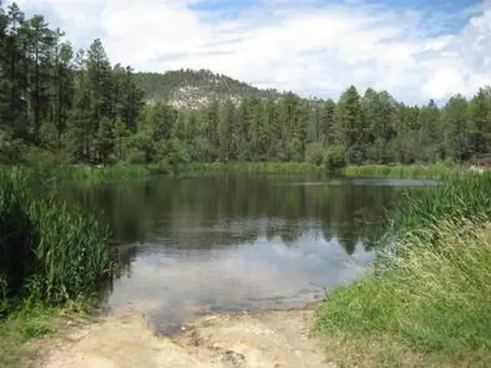 Horsethief CabinCampingPhoto: Recreation.gov (RIDB) / public domain4 mi
Source: Roamze catalog (indexable pages within 10 miles, PostGIS distance)
 Groom Creek LoopMountain biking · ~32 min drivePhoto: gizilich, CC BY-SA 3.0 (via Wikimedia Commons)
- Horsecamp Loop Trail #383Mountain biking · ~34 min drivePhoto: gizilich, CC BY-SA 3.0 (via Wikimedia Commons)
- Horsethief CanyonMountain biking · ~2 min drive
- Horsethief RecreationMountain biking · ~3 min drive
- KentuckMountain biking · ~5 min drive
- Horsethief LookoutMountain biking · ~6 min drive
- East FortMountain biking · ~7 min drive
- Castle CreekMountain biking · ~7 min drive
- Jim CreekMountain biking · ~8 min drive
- Willow CreekMountain biking · ~9 min drive
Also worth it near here
Map and trail data © OpenStreetMap contributors
