Owl
- 0.4 mi
- distance
- 46 ft
- climb
- Jun–Sep
- best months
Is Owl open right now?
Closure in the area
There's a closure order in Apache-Sitgreaves National Forests. It doesn't name Owl, so check the source for the area it covers (2 listed).
Temporary Emergency Closure
Agency closure covering Apache-Sitgreaves National Forests · Order 03-01-26-004 · USFS · Apache-Sitgreaves National Forests
Benny Creek Campground/Southfork Day Use Area Closure Order - Springerville Ranger District
Agency closure covering Apache-Sitgreaves National Forests · Order 03-01-25-06-004 · USFS · Apache-Sitgreaves National Forests
Forest Road Conditions Alert
Agency alert covering Apache-Sitgreaves National Forests · USFS · Apache-Sitgreaves National Forests
No Fire Restrictions
Agency alert covering Apache-Sitgreaves National Forests · USFS · Apache-Sitgreaves National Forests
As of · Source: USFS · Apache-Sitgreaves National Forests. Agencies don't list every closure — check before you go.
Owl is a short mountain biking route in the Springerville Ranger District of the Apache-Sitgreaves National Forests in Arizona, managed by the Forest Service. It sits about 0.35 miles from the Pole Knoll area, and the route climbs from about 9,099 feet to 9,154 feet, with a total gain of 46 feet. The most comfortable months for riding are typically July and August, when typical highs reach about 71°F and lows sit in the mid-40s, according to averages from the nearby Sunrise Mtn weather station. Winter is much colder, with typical highs around 42°F and lows near 11°F. Several other biking routes start close by, including Pine J at 0.1 mile, Elk at 0.4 mile and Summit at 0.5 mile. For an overnight stay, Rolfe C. Hoyer Campground is about 2.6 miles away.
- Pine JMountain biking0.1 mi
- ElkMountain biking0.4 mi
- SummitMountain biking0.5 mi
- RavenMountain biking0.8 mi
- HoyerCamping2.4 mi
- Rolfe C. Hoyer CgCamping2.6 mi
- Benny CreekCamping2.9 mi
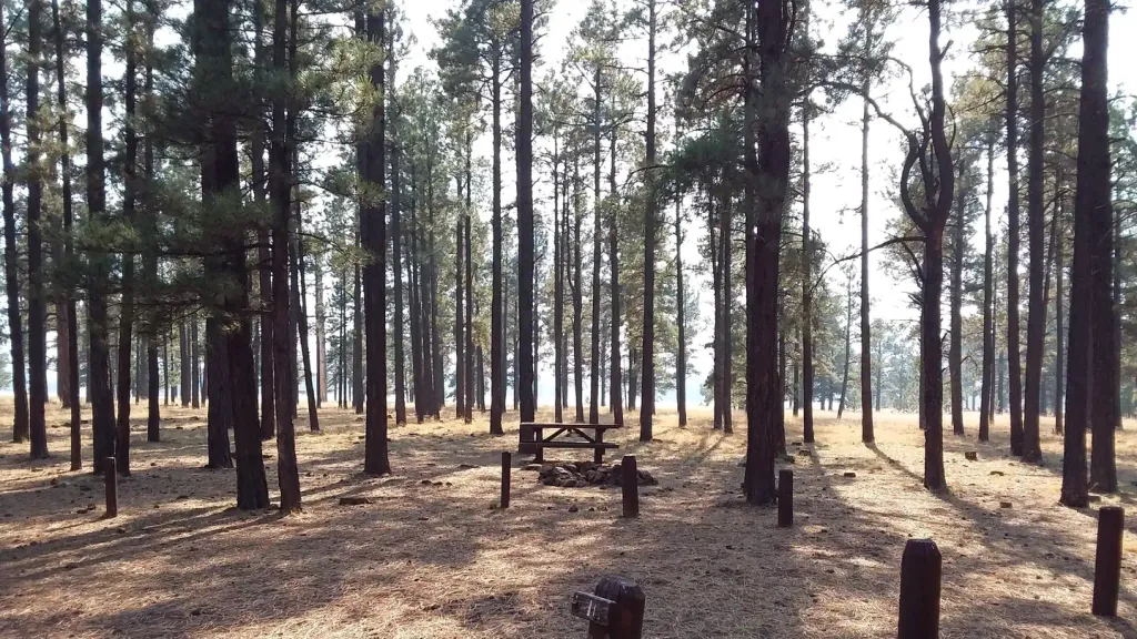 Benny Creek Group AreaCampingPhoto: Recreation.gov (RIDB) / public domain2.9 mi
Source: Roamze catalog (indexable pages within 10 miles, PostGIS distance)
- Pine JMountain biking · Next door
- ElkMountain biking · Next door
- SummitMountain biking · Next door
- AspenMountain biking · ~1 min drive
- CedarMountain biking · ~2 min drive
- RavenMountain biking · ~2 min drive
- Red TailMountain biking · ~2 min drive
- OspreyMountain biking · ~2 min drive
- ViewpointMountain biking · ~2 min drive
- GrouseMountain biking · ~2 min drive
Best time to visit Owl
Best months: June–September. Best months have typical highs of 55–85 °F, lows of 30 °F or warmer (32 °F where the station doesn't record snow), at most one snowy day and no more than 12 wet days.
Jan
42° / 11°
Feb
42° / 15°
Mar
46° / 21°
Apr
53° / 25°
May
62° / 31°
Jun
71° / 37°
Jul
71° / 44°
Aug
70° / 43°
Sep
67° / 37°
Oct
60° / 27°
Nov
51° / 21°
Dec
42° / 14°
Typical high / low (°F) and days with rain or snow, 1991–2020. Measured at Sunrise Mtn, AZ, 5.8 mi away at 9,370 ft. This station doesn't record snowfall. Source: NOAA NCEI U.S. Climate Normals 1991–2020.
Map and trail data © OpenStreetMap contributors
