White Spar Campground
Campground
Campground · 0.7 mi from the trail
Closure in the area
There's a closure order in Bradshaw Ranger District. It doesn't name Banning Creek Trail #81, so check the source for the area it covers (2 listed).
Lynx Lake Boat Ramp and Trail Closure Order
Agency closure covering Bradshaw Ranger District · Order 03-09-03-26-12 · USFS · Bradshaw Ranger District
NFS Road 354 Closure Order #03-07-26-02
Agency closure covering Prescott National Forest · Order 03-07-26-02 · USFS · Prescott National Forest
As of · Source: USFS · Bradshaw Ranger District. Agencies don't list every closure — check before you go.
Banning Creek Trail #81 is a short, low-elevation mountain biking route in the Bradshaw Ranger District of Arizona's Prescott National Forest, about 1.4 miles long with a total climb of 176 feet. The trail rises from about 5,767 feet to about 5,879 feet, with a steepest stretch of roughly 10% grade at about 0.59 miles in. Spring and fall bring the most comfortable conditions. Typical averages from the nearby Prescott weather station, which sits a few hundred feet lower, show October highs around 73°F and lows near 40°F, while July highs reach about 90°F. The Banning Creek hike lies just 0.1 mile away, and Twist & Shout is about half a mile off. White Spar Campground is about 0.6 mile away, and the Senator's Highway Areas-Groom Creek climbing area is roughly 1.9 miles from the trail.
White Spar Campground
Campground
Los Pinos Mexican Food
Mexican restaurant
 If it rainsDoncram, CC BY-SA 3.0 · Wikimedia Commons
An open-air museum located in Prescott, Arizona
Places © OpenStreetMap contributors, Places © Overture Maps Foundation · Photos: Doncram, CC BY-SA 3.0 (commons)
More in PrescottNot on Roamze yet. Their page has how to reach them.
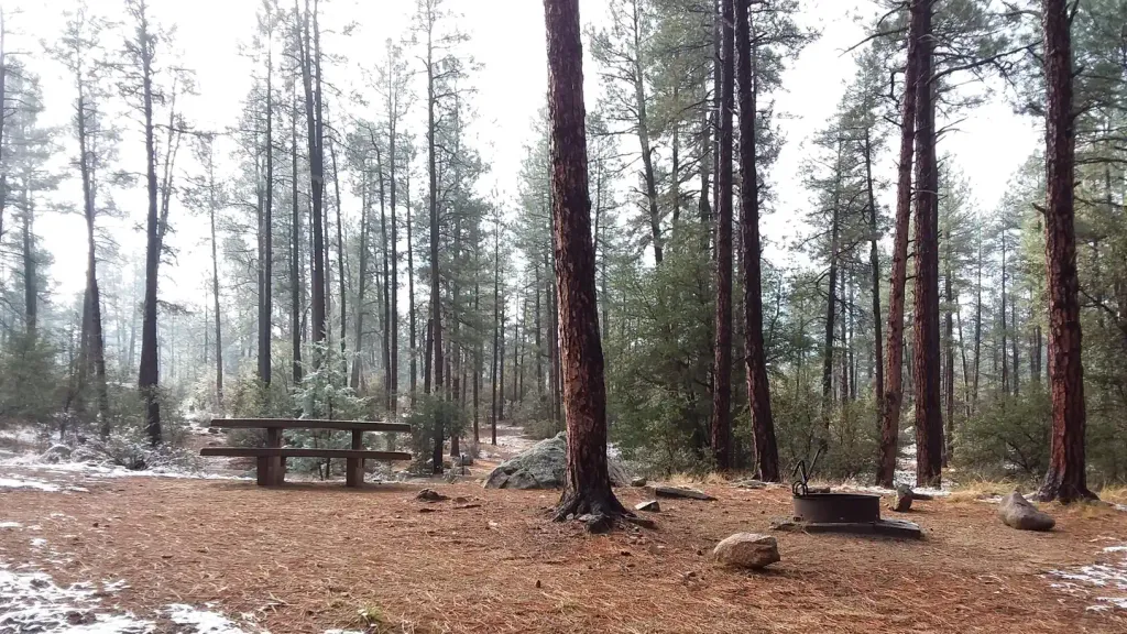 White Spar CampgroundCampingPhoto: Recreation.gov (RIDB) / public domain0.6 mi
Source: Roamze catalog (indexable pages within 10 miles, PostGIS distance)
 Horsecamp Loop Trail #383Mountain biking · ~5 min drivePhoto: gizilich, CC BY-SA 3.0 (via Wikimedia Commons)Groom Creek LoopMountain biking · ~7 min drivePhoto: gizilich, CC BY-SA 3.0 (via Wikimedia Commons)
Best months: March–May and September–October. Best months have typical highs of 55–85 °F, lows of 30 °F or warmer (32 °F where the station doesn't record snow), at most one snowy day and no more than 12 wet days.
Jan
53° / 24°
5 wet
Feb
55° / 26°
6 wet
Mar
61° / 32°
5 wet
Apr
68° / 37°
3 wet
May
76° / 45°
3 wet
Jun
87° / 54°
3 wet
Jul
90° / 61°
9 wet
Aug
87° / 60°
10 wet
Sep
82° / 52°
6 wet
Oct
73° / 40°
4 wet
Nov
62° / 30°
4 wet
Dec
52° / 24°
5 wet
Typical high / low (°F) and days with rain or snow, 1991–2020. Measured at Prescott, AZ, 5.4 mi away at 5,205 ft. The station sits about 700 ft lower than this place, so expect it a little cooler here. This station doesn't record snowfall. Source: NOAA NCEI U.S. Climate Normals 1991–2020.
Map and trail data © OpenStreetMap contributors
