
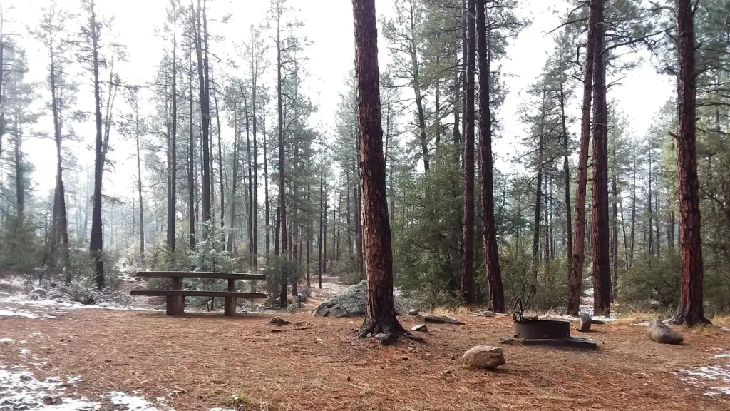
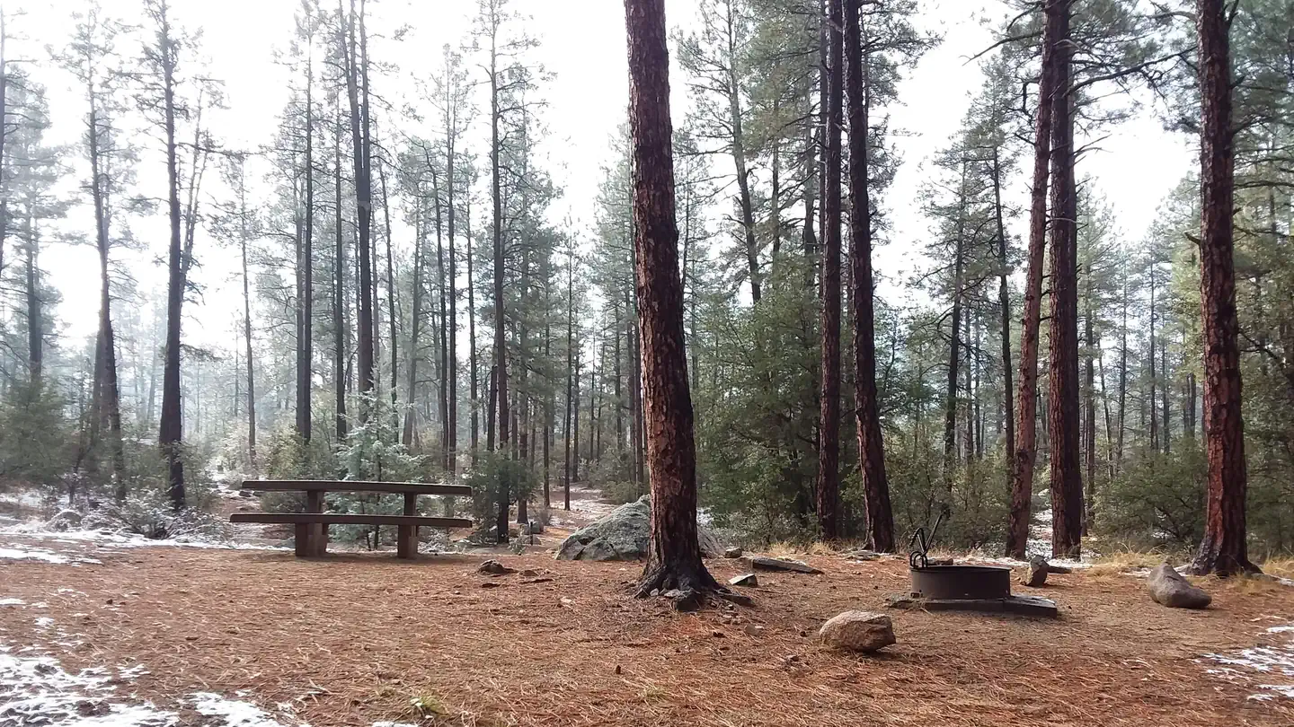
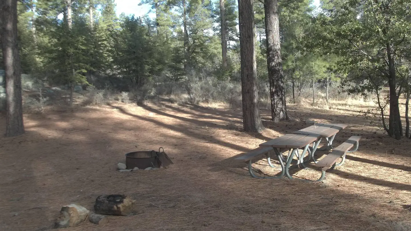

Black Canyon Campground
Hiking business nearby (~36 mi away) — hasn't claimed their Roamze page yet
Free — you'll pick up right here.
Watch this trail
Sign up to watch it — saving subscribes you to gate, closure and report changes.
Arizona
2.9 mi
Distance
157 ft
Gain
1h 2m
Time
We won't guess. Here is exactly what we do and don't know.
What we do know
Inside Prescott National Forest
2 managing-area boundaries mapped — agency alerts for them feed this page automatically.
Boundary data
What's missing
No access route mapped
We don't yet know which road reaches this trailhead, so we can't tell you if it's gated.
Nobody's filed a report here yet — be the first.
Why you'll love it
Banning Creek
AI-suggested draft · review before you go
No permit or access details on file for this trail — check with the local land manager before you go.
Banning Creek is a 2.9-mile out-and-back trail located in Arizona. The route features 157 feet of elevation gain, making it an accessible option for hikers of various skill levels. The trail follows Banning Creek through the Arizona landscape, offering a moderate walk with minimal elevation change. This out-and-back route allows hikers to turn back at any point, making it flexible for different fitness levels and time constraints. The creek setting provides opportunities to observe local water features and riparian vegetation along the path. The relatively short distance and low elevation gain make this trail suitable for a quick outing or as part of a broader exploration of the area's hiking options. The trail is best experienced during cooler months when Arizona temperatures are more moderate. Hikers should come prepared with adequate water and sun protection, as desert conditions can be intense. The out-and-back format means the full hike totals 5.8 miles if completed to the turnaround point and back.
Twist & Shout
~1 min drive
1.2 mi · Easy
Aspen Creek
~6 min drive
6.7 mi · Moderate
Thumb Butte Spur
~8 min drive
Short out-and-back spur trail with scenic views and rock formations.
Groom Creek Loop
~8 min drive
9.0 mi · Hard
Feldmeier
~1 min drive
2.5 mi · Easy
Pine Lakes
~8 min drive
3.2 mi · Moderate
Hilltop-Obrians
~9 min drive
Quick out-and-back hike near Hilltop-Obrians in Arizona.
Homestead
~10 min drive
13 mi · Hard
Apple Blossom
~2 min drive
2.6 mi · Easy
Honey Bucket
~8 min drive
4.3 mi · Moderate
Local operatorsoffering guided trips. You book directly with them — Roamze doesn’t take a cut.
Black Canyon Campground
Hiking business nearby (~36 mi away) — hasn't claimed their Roamze page yet
Camp Avalon Spiritual Nature Retreat
Hiking business nearby (~43 mi away) — hasn't claimed their Roamze page yet
Canyon Outfitters Sedona
Hiking business nearby (~45 mi away) — hasn't claimed their Roamze page yet