
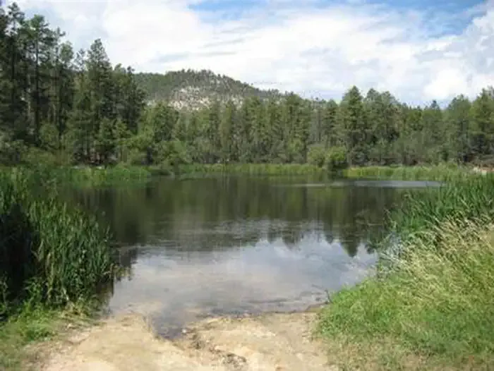
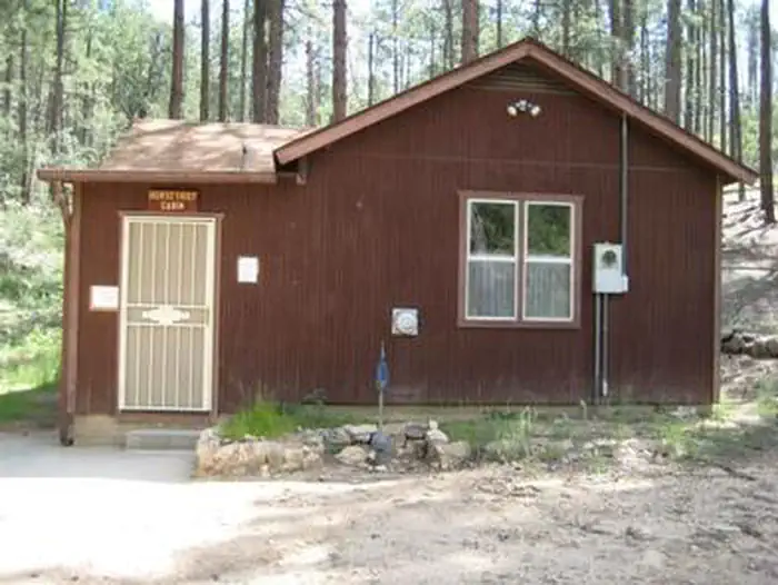

Black Canyon Campground
Hiking business nearby (~16 mi away) — hasn't claimed their Roamze page yet
Free — you'll pick up right here.
Watch this trail
Sign up to watch it — saving subscribes you to gate, closure and report changes.
Arizona
4.0 mi
Distance
208 ft
Gain
1h 25m
Time
Weather is good
1 factor · 1 source
Observed 5 h ago
clear: Weather
Clouds, high 93°F / low 83°F, 0% precip — 82/100 for hike
OpenWeather5 h ago
Been out here in the last few days? One report keeps this current for everyone.
Why you'll love it
Pipeline Canyon Trail
AI-suggested draft · review before you go
No permit or access details on file for this trail — check with the local land manager before you go.
Pipeline Canyon Trail is a 4.0-mile out-and-back hike located in Arizona. The trail features 208 feet of elevation gain, making it an accessible option for hikers of various skill levels. The out-and-back format means you'll retrace your steps on the return journey, covering 8.0 miles total roundtrip distance. This trail takes you through Pipeline Canyon, offering a moderate hiking experience with manageable elevation changes. The relatively low elevation gain makes it suitable for those looking for a less strenuous outing while still enjoying Arizona's desert landscape and canyon scenery. The out-and-back design allows you to turn around at the 2-mile point or continue to explore further based on your fitness level and available time. This flexibility makes Pipeline Canyon Trail a practical choice for hikers who want to customize their experience.
Yavapai Point Trail
~2 min drive
2.9 mi · Easy
Black Canyon National Recreation Trail
~16 min drive
201-mile BLM trail through remote Arizona backcountry with gentle elevation gain.
Black Canyon Trail
~16 min drive
Remote 45.82-mile point-to-point canyon trek through Arizona's Black Canyon.
Little Pan Loop
~20 min drive
A moderate 5.11-mile out-and-back trail in Arizona connected to the Black Canyon Trail system.
Cottonwood
~3 min drive
2.2 mi · Easy
Maricopa Trail
~25 min drive
A 670-mile out-and-back trail in Arizona with moderate difficulty, integrated into the Arizona Trail system for extended backcountry exploration.
9986A
~19 min drive
A short out-and-back desert hike in Arizona covering 2.79 miles.
Quail Springs Trail
~24 min drive
5.1 mi · Moderate
Black Canyon Trail Connector
~25 min drive
0.9 mi · Easy
Willow Creek
~32 min drive
6.9 mi · Hard
Local operatorsoffering guided trips. You book directly with them — Roamze doesn’t take a cut.
Black Canyon Campground
Hiking business nearby (~16 mi away) — hasn't claimed their Roamze page yet
Arizona Desert Mountain Jeep Tours
Hiking business nearby (~34 mi away) — hasn't claimed their Roamze page yet
Saddle Mountain RV Park
Hiking business nearby (~45 mi away) — hasn't claimed their Roamze page yet