United Christian Youth Camp
Campground
Campground · 0.4 mi from the trail
Caution today
Agency alerts are in effect for this area; weather is good · USFS, OpenWeather · checked 6 h ago
Closure in the area
There's a closure order in Bradshaw Ranger District. It doesn't name West Spruce Trail #264 (Extension), so check the source for the area it covers (2 listed).
Lynx Lake Boat Ramp and Trail Closure Order
Agency closure covering Bradshaw Ranger District · Order 03-09-03-26-12 · USFS · Bradshaw Ranger District
NFS Road 354 Closure Order #03-07-26-02
Agency closure covering Prescott National Forest · Order 03-07-26-02 · USFS · Prescott National Forest
As of · Source: USFS · Bradshaw Ranger District. Agencies don't list every closure — check before you go.
West Spruce Trail #264 (Extension) is a 3.26-mile hike in the Bradshaw Ranger District of Prescott National Forest, Arizona. It is an out-and-back route with a steady climb, reaching a high point of 6,886 feet from a start at 6,644 feet. The total elevation gain is 1,800 feet for the round trip, and the steepest stretch comes at about 2 miles in, with a grade of 11%. The Forest Service manages the land, and the hike takes about 3 hours. It works well as a day trip on its own or as a link to other outdoor options close by. Quakey Trail #741 and Aspen Springs Trail #746 sit within a quarter mile, and the Copper Basin / Thumb Butte Loop climbing area is about 0.6 miles away. For an overnight stay, Fdr 51 Potts Creek Rd Designated Disp. is about 2 miles off.
United Christian Youth Camp
Campground
 If it rainsDoncram, CC BY-SA 3.0 · Wikimedia Commons
An open-air museum located in Prescott, Arizona
Places © OpenStreetMap contributors, Places © Overture Maps Foundation · Photos: Doncram, CC BY-SA 3.0 (commons)
More in PrescottNot on Roamze yet. Their page has how to reach them.
 Copper Basin / Thumb Butte LoopRock climbingPhoto: Alan Stark from Goodyear, AZ, United States, CC BY-SA 2.0 (via Wikimedia Commons)0.6 miBrush Monkey BouldersRock climbingPhoto: Alan Stark from Goodyear, AZ, United States, CC BY-SA 2.0 (via Wikimedia Commons)1.1 mi
Source: Roamze catalog (indexable pages within 10 miles, PostGIS distance)
 East Copper TrailHiking · ~5 min drivePhoto: squeaks2569, CC BY-SA 2.0 (via Flickr)
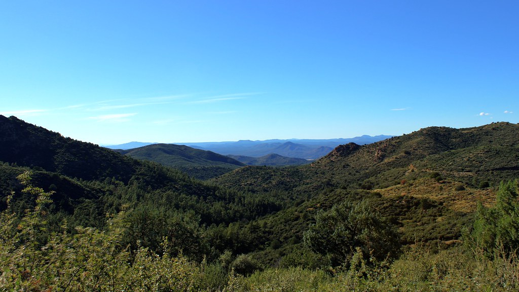 Skyline Trail #712Hiking · ~8 min drivePhoto: Scottb211, CC BY 2.0 (via Flickr)
 Goldwater Loop TrailHiking · ~9 min drivePhoto: Scottb211, CC BY 2.0 (via Flickr)Schoolhouse Gulch Trail #67Hiking · ~9 min drivePhoto: Scottb211, CC BY 2.0 (via Flickr)
Map and trail data © OpenStreetMap contributors
