United Christian Youth Camp
Campground
Campground · 1.2 mi from the trail
Closure in the area
There's a closure order in Bradshaw Ranger District. It doesn't name Moby Trail #747, so check the source for the area it covers (2 listed).
Lynx Lake Boat Ramp and Trail Closure Order
Agency closure covering Bradshaw Ranger District · Order 03-09-03-26-12 · USFS · Bradshaw Ranger District
NFS Road 354 Closure Order #03-07-26-02
Agency closure covering Prescott National Forest · Order 03-07-26-02 · USFS · Prescott National Forest
As of · Source: USFS · Bradshaw Ranger District. Agencies don't list every closure — check before you go.
Moby Trail #747 is a moderate out-and-back hike in the Bradshaw Ranger District of Prescott National Forest in Arizona, managed by the Forest Service. The trail is about 1.9 miles long, with a total elevation gain of 1,035 feet, and the high point reaches 6,952 feet. The climb is steady, and the steepest stretch comes at about 0.54 miles in, with a grade of about 5 percent. The trail starts at an elevation of about 6,880 feet and ends at a similar level, so the round trip involves about 1,035 feet of climbing and the same amount of descent. The route is rated moderate, and the trip is estimated to take about an hour. Moby Trail #737 lies about half a mile away, and the Aspen Springs Trail #746 mountain biking route is about 0.6 miles off. Climbers can find the Copper Basin / Thumb Butte Loop about 0.9 miles away and Brush Monkey Boulders about a mile away.
United Christian Youth Camp
Campground
 If it rainsDoncram, CC BY-SA 3.0 · Wikimedia Commons
An open-air museum located in Prescott, Arizona
Places © OpenStreetMap contributors, Places © Overture Maps Foundation · Photos: Doncram, CC BY-SA 3.0 (commons)
More in PrescottNot on Roamze yet. Their page has how to reach them.
Daily highs and lows, wind and the chance of precipitation at the summit and route start for the next 7 days, from the Open-Meteo model.
 Copper Basin / Thumb Butte LoopRock climbingPhoto: Alan Stark from Goodyear, AZ, United States, CC BY-SA 2.0 (via Wikimedia Commons)0.9 miBrush Monkey BouldersRock climbingPhoto: Alan Stark from Goodyear, AZ, United States, CC BY-SA 2.0 (via Wikimedia Commons)1 mi
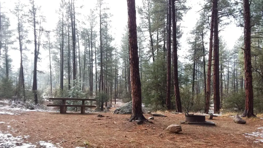 White Spar CampgroundCampingPhoto: Recreation.gov (RIDB) / public domain3.7 mi
Source: Roamze catalog (indexable pages within 10 miles, PostGIS distance)
 East Copper TrailHiking · ~4 min drivePhoto: squeaks2569, CC BY-SA 2.0 (via Flickr)
 Schoolhouse Gulch Trail #67Hiking · ~9 min drivePhoto: Scottb211, CC BY 2.0 (via Flickr)Watershed Trail #299Hiking · ~10 min drivePhoto: Scottb211, CC BY 2.0 (via Flickr)Goldwater Loop TrailHiking · ~9 min drivePhoto: Scottb211, CC BY 2.0 (via Flickr)
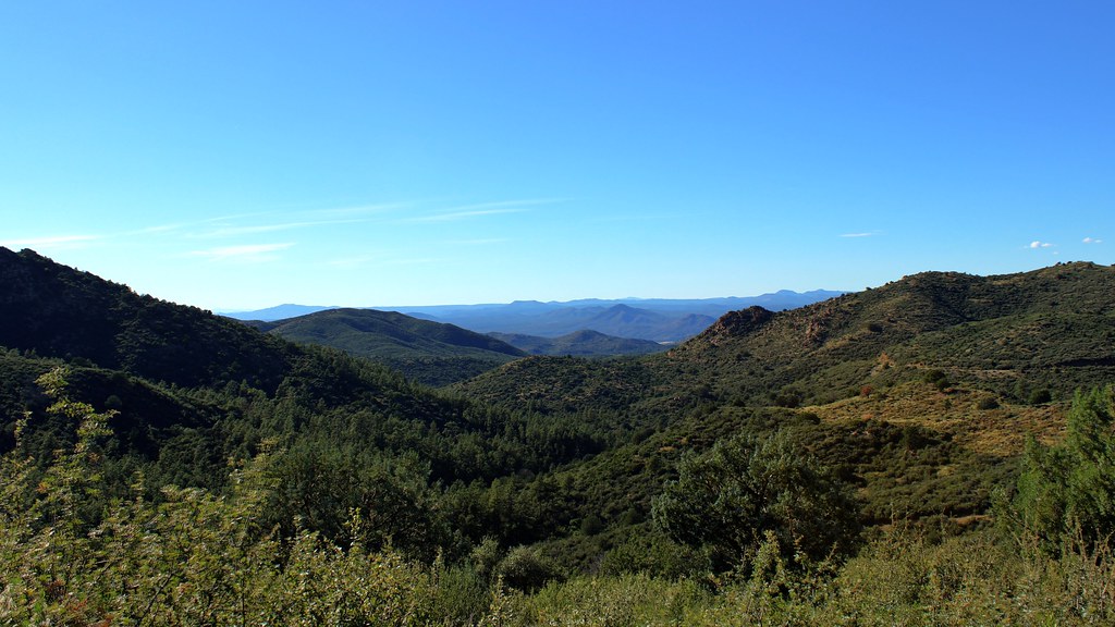 Skyline Trail #712Hiking · ~9 min drivePhoto: Scottb211, CC BY 2.0 (via Flickr)
About 0.9 mi round trip.
About 1,035 ft of climbing round trip.
It is rated moderate.
About 0.5 hours round trip.
Map and trail data © OpenStreetMap contributors
