Waw Giwulk Trail
- 4.2 mi
- round trip
- 5,259 ft
- climb
- 7,364 ft
- high point
- Out and back
- route
- Mar–Jul, Sep–Nov
- best months
The Waw Giwulk Trail is a 4.2-mile out-and-back hike in Arizona, with a total round-trip elevation gain of about 5,259 feet. The route starts at 3,534 feet and climbs to a high point of 7,364 feet, and it is rated expert. The nearest town is Chiuli Shaik, about 3.4 miles away. The climb is front-loaded, with the steepest stretch early on. The round-trip distance is about 8.5 miles, and the estimated time is roughly 5.5 hours. For comfortable weather, aim for late spring or early fall. Typical averages from the Kitt Peak weather station, about 12.5 miles away, show May highs near 71°F and October highs near 68°F, while July and August bring the most wet days. Nearby, the Foothill Truck Trail lies just 0.3 miles away, and the West Face/Southwest Arete and East Face climbing areas are each about 2.1 miles off. Jaguar Canyon Trail is about 3.9 miles away.
- Foothill Truck TrailHiking0.3 mi
 West Face/ Southwest AreteRock climbingPhoto: Ken Bosma, CC BY 2.0 (via Wikimedia Commons)2.1 mi
- East FaceRock climbingPhoto: Ken Bosma, CC BY 2.0 (via Wikimedia Commons)2.1 mi
- Jaguar Canyon TrailHiking3.9 mi
- Brown Canyon Arch TrailHiking4.5 mi
Source: Roamze catalog (indexable pages within 10 miles, PostGIS distance)
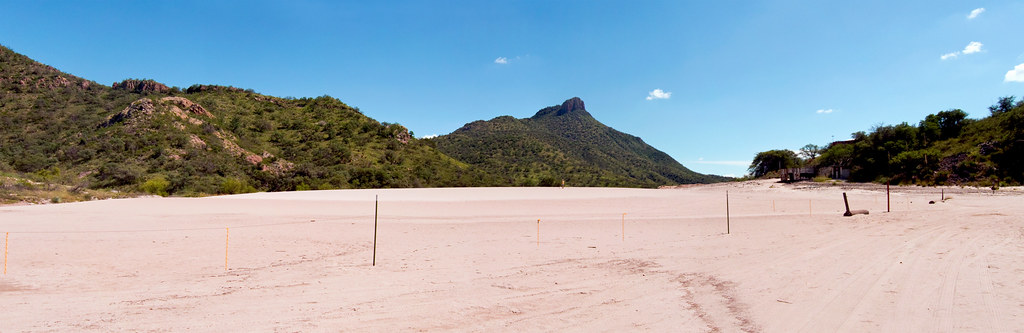 Mineral Lake walkHiking · ~55 min drivePhoto: squeaks2569, CC BY-SA 2.0 (via Flickr)
- Foothill Truck TrailHiking · Next door
- Sycamore CanyonHiking · ~1h 1m drive
- Jaguar Canyon TrailHiking · ~7 min drive
- Mustang TrailHiking · ~34 min drive
- Juan Bautista De Anza National Historic TrailHiking · ~1h 4m drive
- Brown Canyon Arch TrailHiking · ~8 min drive
- Kanye's Krazy LoopHiking · ~58 min drive
- Aguirre Lake TrailHiking · ~26 min drive
- Anza TrailHiking · ~1h drive
Also worth it near here
- East FaceRock climbing · ~4 min drivePhoto: Ken Bosma, CC BY 2.0 (via Wikimedia Commons)
 Baboquivari PeakSummit · ~4 min drivePhoto: Phillip Capper from Wellington, New Zealand, CC BY 2.0 (via Wikimedia Commons)
- Brown Canyon Natural BridgeNatural arch · ~6 min drive
- Round Hill TankLake fishing · ~24 min drive
Best time to visit Waw Giwulk Trail
Best months: March–July and September–November. Best months have typical highs of 55–85 °F, lows of 30 °F or warmer (32 °F where the station doesn't record snow), at most one snowy day and no more than 12 wet days.
Jan
51° / 34°
4 wet
Feb
51° / 34°
4 wet
Mar
56° / 37°
4 wet
Apr
63° / 41°
2 wet
May
71° / 49°
1 wet
Jun
80° / 59°
3 wet
Jul
80° / 61°
11 wet
Aug
79° / 60°
13 wet
Sep
75° / 57°
8 wet
Oct
68° / 49°
3 wet
Nov
58° / 40°
3 wet
Dec
50° / 34°
4 wet
Typical high / low (°F) and days with rain or snow, 1991–2020. Measured at Kitt Peak, AZ, 12.5 mi away at 6,790 ft. The station sits about 600 ft lower than this place, so expect it a little cooler here. This station doesn't record snowfall. Source: NOAA NCEI U.S. Climate Normals 1991–2020.
Map and trail data © OpenStreetMap contributors
