
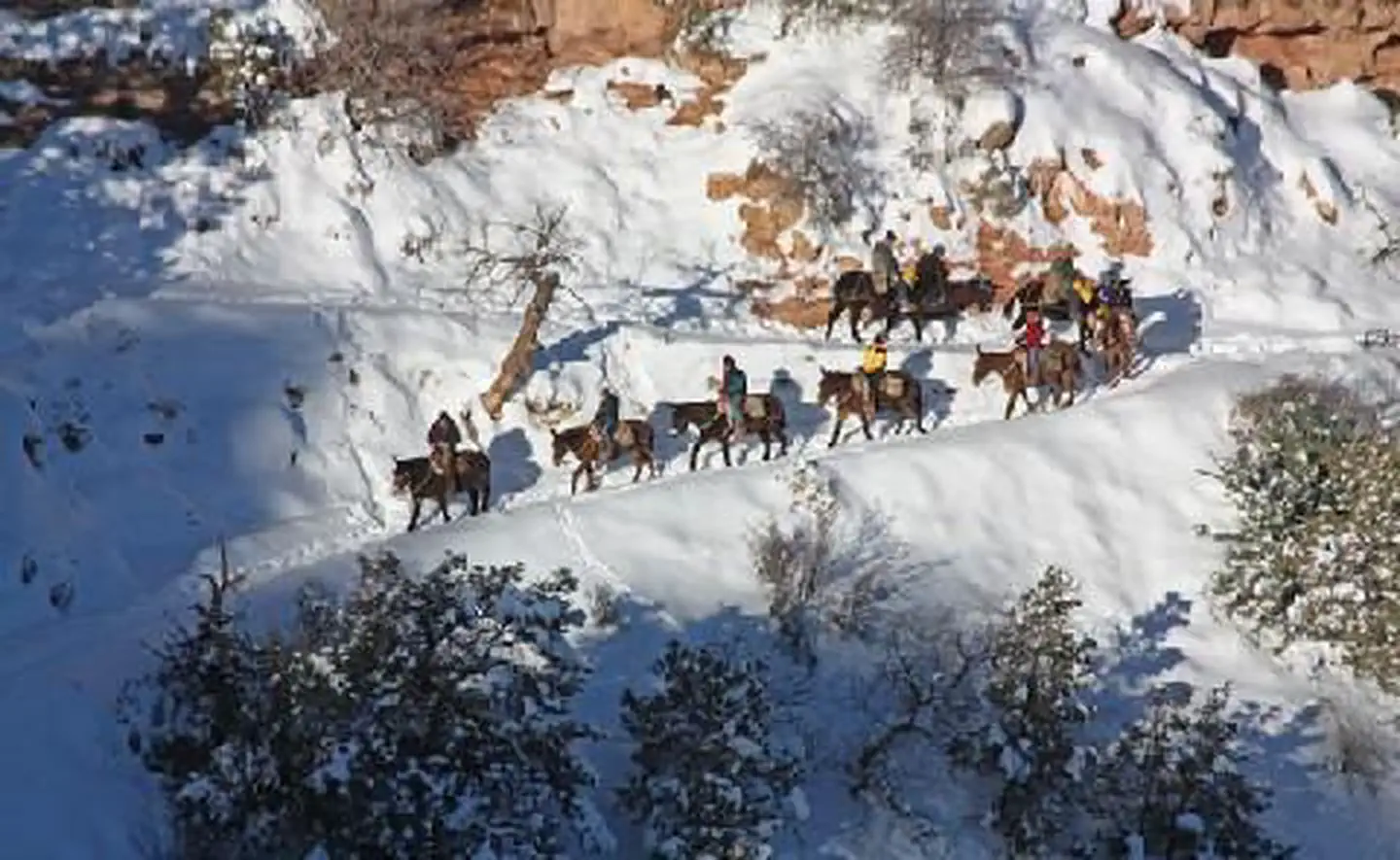

Buck Wild Hummer Tours
Hiking business nearby (~6 mi away) — hasn't claimed their Roamze page yet
Trail of Time: Verkamp's Visitor Center Portal
Free — you'll pick up right here.
Watch this trail
Sign up to watch it — saving subscribes you to gate, closure and report changes.
Arizona
We won't guess. Here is exactly what we do and don't know.
What we do know
Inside Grand Canyon National Park
National Park unit boundary is mapped — agency alerts for it feed this page automatically.
Boundary data
What's missing
No access route mapped
We don't yet know which road reaches this trailhead, so we can't tell you if it's gated.
Nobody's filed a report here yet — be the first.
Trail of Time: Verkamp's Visitor Center Portal
AI-suggested draft · review before you go
No elevation data on file for this trail.
From the flagpole outside of Verkamp's Visitor Center, walk to the right along the rim trail and find the Trail of Time bronze markers embedded in the pavement. From the 2,000 million year marker, you can see the western entry portal for the Trail of Time. Walking east from Grand Canyon Village takes you forward in time, from Grand Canyon's oldest rocks to canyon carving and Grand Canyon's human history. This is the "old" end of the main Trail of Time, so the theme for the paving stones and seating rocks around the portal is Precambrian schist and gneiss of the type found in the inner gorges, near the bottom of the canyon. Walk a bit further east along the trail and you can see and touch the oldest known rock of Grand Canyon's basement rocks! Trail of Time Overview The Trail of Time is the world's largest geoscience exhibition at one of the world's grandest geologic landscapes, Grand Canyon National Park. The trail utilizes the unique vistas and rocks of Grand Canyon to help visitors ponder, explore, and understand the magnitude of geologic time and the stories encoded by Grand Canyon rocks and landscapes. Geologic time is immensely long. The 4.56 km (2.8 mi) trail is marked every meter, with 1 meter = 1 million years of our 4,560,000,000 year-long Earth history. Viewing tubes, rocks on plinths, and wayside panels help visitors connect the rocks visible in Grand Canyon to their place along the timeline. The main Trail of Time can be entered at different points - including the east end near Yavapai Point (young end), west end at Grand Canyon Village (old end), or a middle point where a connecting trail comes from the Park Headquarters parking area (Parking Lot A). Shuttle stops connect each entry point, so you can walk it in several ways and still get back to your car. The entry portals have messages on each side appropriate for those approaching (welcome) or for those completing different segments of the Trail (congratulations). Located on the South Rim of Grand Canyon National Park, the Trail of Time extends along the paved Rim Trail between the Yavapai Geology Museum on the east and Maricopa Point on the west. The main portion of the Trail between Yavapai Geology Museum and Grand Canyon Village is accessible to wheelchairs and baby strollers, and it is convenient to shuttle bus stops and parking areas in a heavily-visited section of the park.
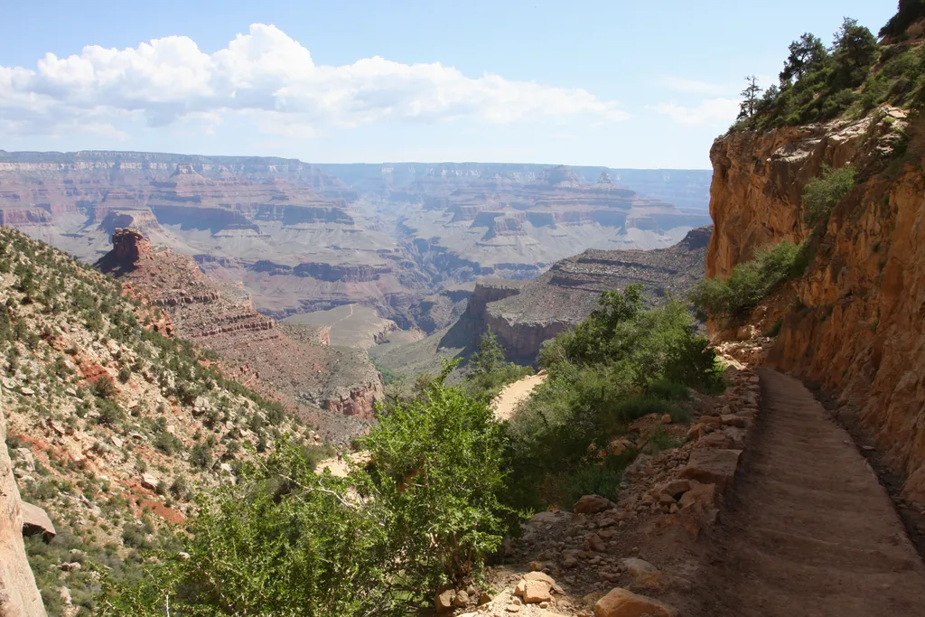
Bright Angel Trail
~1 min drive
The most popular hiking trail into Grand Canyon, the Bright Angel Trail lets hikers walk in the footsteps of the canyon's Indigenous peoples, miners, and early tourists, as they descend into the canyon's depths. Offering outstanding views, morning and afternoon shade, resthous…
Village Greenway
~1 min drive
4.9 mi · Easy
Bright Angel Trail
~3 min drive
16 mi · Hard
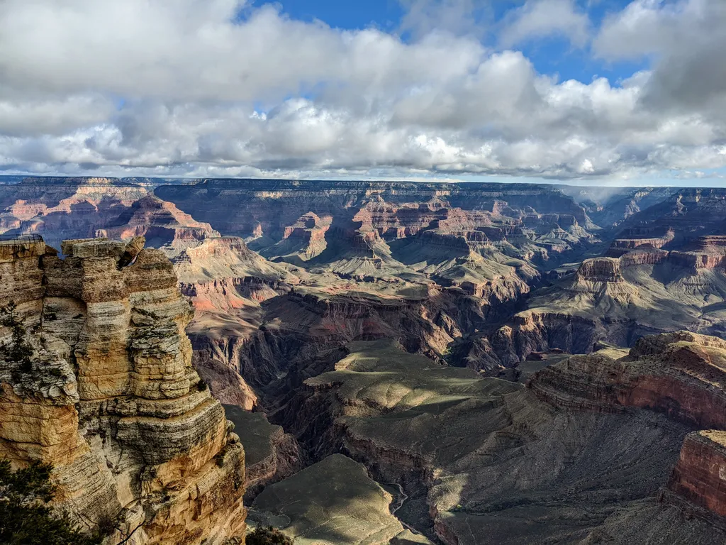
Rim Trail - Mather Point
~3 min drive
The Rim Trail is a mostly paved path that stretches roughly 13 miles (21 km) along the southern rim of Grand Canyon from South Kaibab Trailhead in the east to Hermits Rest in the west. Most people won't hike the whole trail in one go, but walking short sections of the rim can…
Residential Loop
~1 min drive
1.3 mi · Easy
South Kaibab Trail
~5 min drive
A 6.49-mile lollipop trail in Arizona connecting to the Bright Angel Toll Road system.
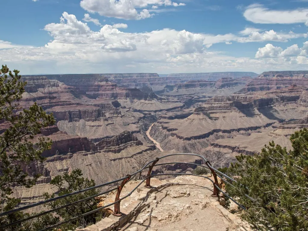
Mohave Point
~3 min drive
Another spectacular point for watching sunset, Mohave Point offers excellent views of the Colorado River deep in the canyon below. From here you can also see the Salt Creek, Granite, and Hermit rapids. Below this viewpoint, 'The Alligator' named by Emery Kolb points across th…
Zuni Trail
~1 min drive
0.3 mi · Easy
Rim Trail
~5 min drive
26 mi · Hard
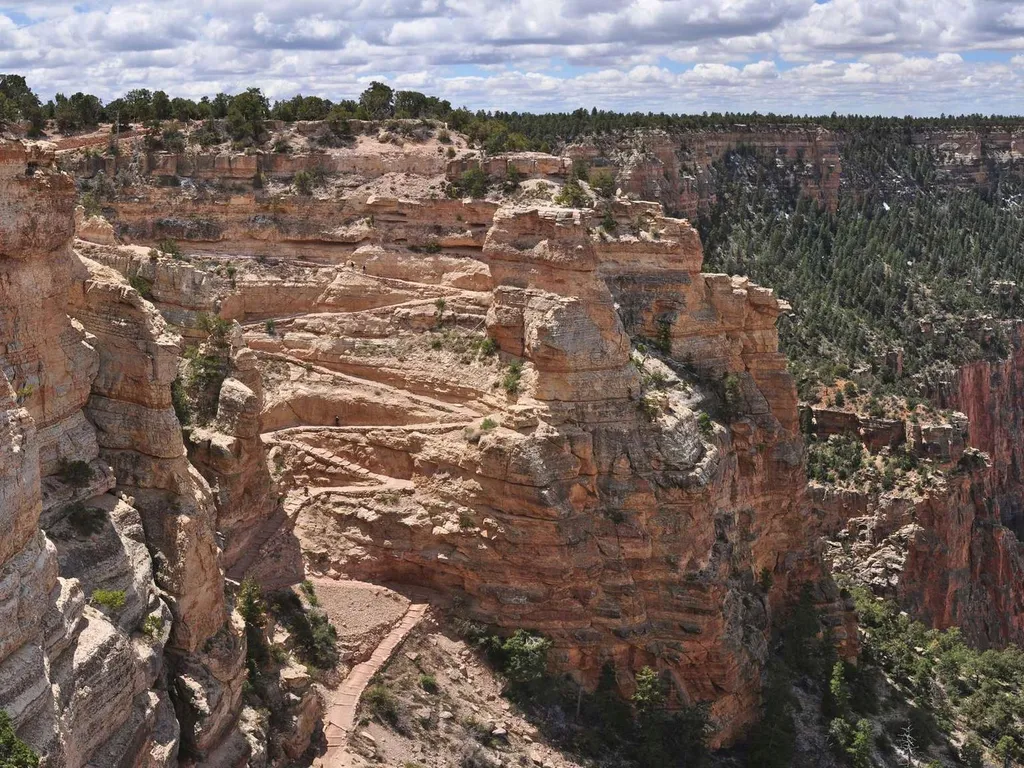
South Kaibab Trail
~5 min drive
Know Before You Go Before heading down into the canyon, consult the signs at the trailhead, and scan the QR code for trip planning, current weather, water availability, and trail information/closures. (or visit our Key Hiking Messages webpage). Trail Reopenings and Current C…
Local operatorsoffering guided trips. You book directly with them — Roamze doesn’t take a cut.
Buck Wild Hummer Tours
Hiking business nearby (~6 mi away) — hasn't claimed their Roamze page yet
Wander Camp
Hiking business nearby (~22 mi away) — hasn't claimed their Roamze page yet