Supai Trail
- 3.5 mi
- round trip
- 2,274 ft
- climb
- 5,559 ft
- high point
- Out and back
- route
- Apr–Jun, Aug–Oct
- best months
The Supai Trail is a 7.1-mile out-and-back hike in Arizona, about 4.5 miles from the community of Supai. The route starts at 3,927 feet and climbs to a high point of 5,559 feet, with a total elevation gain of 2,274 feet over the course of the trip. The steepest stretch comes at about 3 miles in, where the grade reaches 57 percent. Spring and fall are the most comfortable times to go. Typical averages from a nearby weather station show May highs around 73°F and October highs around 68°F, while July and August average highs in the mid-80s. The trip takes about 3.5 hours. The South Havasupai Village West Trail and the Havasupai Village West Trail both lie about 4.5 miles away, and the Havasupai Trail is about 6.6 miles off. Paddlers can reach Havasu Creek, about 6.7 miles away.
Local outfitters
- Buck Wild Hummer Tours32 mi away
- Wander Camp43 mi away
Not on Roamze yet. Their page has how to reach them.
 South Havasupai Village West TrailHikingPhoto: User:Moondigger, CC BY-SA 2.5 (via Wikimedia Commons)4.5 mi
- Havasupai Village West TrailHikingPhoto: User:Moondigger, CC BY-SA 2.5 (via Wikimedia Commons)4.9 mi
 Havasupai TrailHikingPhoto: Jason Hollinger, CC BY 2.0 (via Wikimedia Commons)6.6 mi
- Havasu CreekCanoeing6.7 mi
- Beaver Falls TrailHikingPhoto: Jason Hollinger, CC BY 2.0 (via Wikimedia Commons)8.3 mi
Source: Roamze catalog (indexable pages within 10 miles, PostGIS distance)
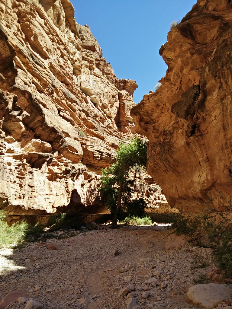 Supai TrailHiking · ~7 min drivePhoto: andrewharvey4, CC BY 2.0 (via Flickr)
- South Havasupai Village West TrailHiking · ~8 min drivePhoto: User:Moondigger, CC BY-SA 2.5 (via Wikimedia Commons)
- Havasupai TrailHiking · ~11 min drivePhoto: Jason Hollinger, CC BY 2.0 (via Wikimedia Commons)
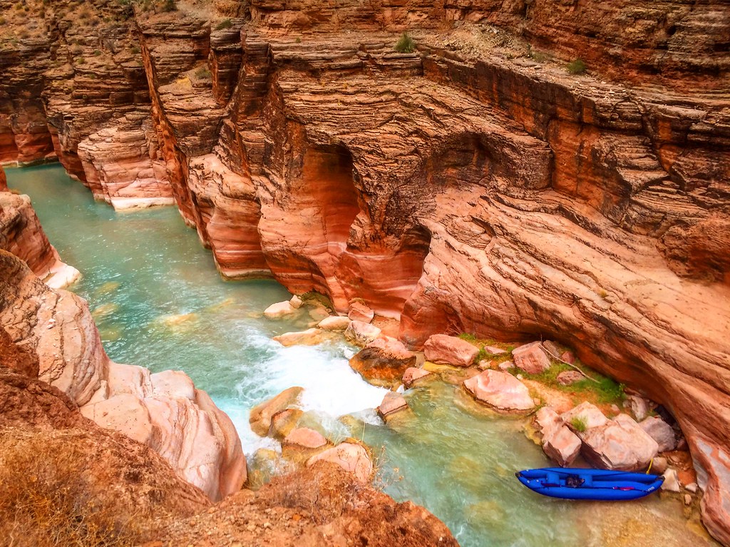 Havasu Canyon TrailHiking · ~19 min drivePhoto: Nate Loper • #ArizonaGuide ️, CC BY 2.0 (via Flickr)
- Hermit Trail Grand CanyonHiking · ~43 min drive
 West TontoHiking · ~39 min drivePhoto: CC BY-SA 3.0 (via Wikimedia Commons)
- Havasupai Village West TrailHiking · ~8 min drivePhoto: User:Moondigger, CC BY-SA 2.5 (via Wikimedia Commons)
 Royal Arch RouteHiking · ~24 min drivePhoto: Gonzo fan2007, CC BY-SA 3.0 (via Wikimedia Commons)
 South Bass TrailheadHiking · ~24 min drivePhoto: John Hayes (gravelboy), CC BY-SA 2.0 (via Flickr)
 Rapid EventsHiking · ~43 min drivePhoto: InSapphoWeTrust from Los Angeles, California, USA, CC BY-SA 2.0 (via Wikimedia Commons)
Best time to visit Supai Trail
Best months: April–June and August–October. Best months have typical highs of 55–85 °F, lows of 30 °F or warmer (32 °F where the station doesn't record snow), at most one snowy day and no more than 12 wet days.
Jan
45° / 23°
6 wet
Feb
49° / 25°
6 wet
Mar
58° / 29°
4 wet
Apr
64° / 34°
3 wet
May
73° / 41°
3 wet
Jun
85° / 50°
3 wet
Jul
88° / 57°
8 wet
Aug
85° / 56°
8 wet
Sep
79° / 49°
5 wet
Oct
68° / 39°
4 wet
Nov
56° / 29°
3 wet
Dec
44° / 22°
6 wet
Typical high / low (°F) and days with rain or snow, 1991–2020. Measured at Williams 35 Nnw, AZ, 34.4 mi away at 5,990 ft. This station doesn't record snowfall. Source: NOAA NCEI U.S. Climate Normals 1991–2020.


Map and trail data © OpenStreetMap contributors
