Scenic Trail
- 3.4 mi
- round trip
- 955 ft
- climb
- 2,011 ft
- high point
- Out and back
- route
- Nov–Apr
- best months
Caution at last check
Weather is marginal · OpenWeather · checked 18 h ago
Scenic Trail is a moderate out-and-back hike in McDowell Mountain Regional Park, on regional agency land in Arizona. The route is about 6.8 miles long, with a total elevation gain of 955 feet, and it reaches a high point of 2011 feet. The trail starts at 1872 feet and ends at the same elevation, so the climb is roughly split between the ascent and the descent. Spring and fall are the most comfortable times to go. Typical averages from a nearby weather station in Fountain Hills show March highs around 74°F and November highs around 74°F, while June and July average in the low 100s. That station sits about 430 feet lower than the trail's high point, so temperatures on the higher ground run a little cooler. The trip takes about 2.5 hours. Shallmo Wash Trail is just 0.3 miles away, and Tonto Tank Trail and Chuparosa Trail are both within about a mile and a half. Climbers can find Granite Ballroom about 4.2 miles off.
Local outfitters
- Arizona Desert Mountain Jeep Tours5 mi away
- VIP RV Resort21 mi away
Not on Roamze yet. Their page has how to reach them.
- Shallmo Wash TrailHiking0.3 mi
- Tonto Tank TrailHiking1.1 mi
 Chuparosa TrailHikingPhoto: cogdogblog, CC BY 2.0 (via Flickr)1.4 mi
- Granite BallroomRock climbing4.2 mi
- Rosetta StoneRock climbing4.2 mi
 Sven TowersRock climbingPhoto: HTBFTBO, CC BY-SA 4.0 (via Wikimedia Commons)4.4 mi
- Box BarCamping4.8 mi
- Riverside CampgroundCamping9.1 mi
Source: Roamze catalog (indexable pages within 10 miles, PostGIS distance)
- Chuparosa TrailHiking · ~2 min drivePhoto: cogdogblog, CC BY 2.0 (via Flickr)
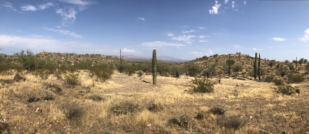 Escondido TrailHiking · ~3 min drivePhoto: kevingenekelley, CC BY-SA 2.0 (via Flickr)
 East End TrailHiking · ~9 min drivePhoto: leesean, CC BY-SA 2.0 (via Flickr)
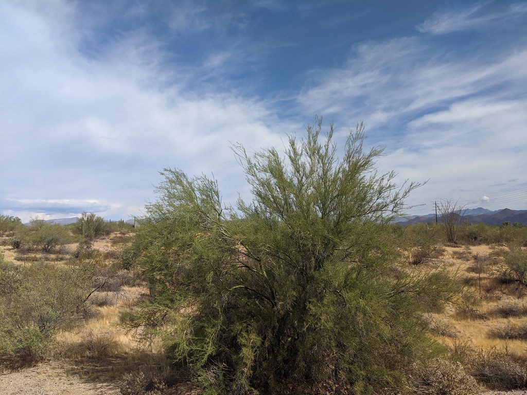 Lousley Hill TrailHiking · ~3 min drivePhoto: isydia Vibes, Public Domain Mark (via Flickr)
- Tonto Tank TrailHiking · ~2 min drive
- Cinch TrailHiking · ~3 min drivePhoto: kevingenekelley, CC BY-SA 2.0 (via Flickr)
- Granite TrailHiking · ~2 min drive
- North TrailHiking · ~3 min drivePhoto: cogdogblog, CC BY 2.0 (via Flickr)
- Verde TrailHiking · ~4 min drive
- Scout Trail (Youth Groups Only)Hiking · ~4 min drivePhoto: isydia Vibes, Public Domain Mark (via Flickr)
Best time to visit Scenic Trail
Best months: November–April. Best months have typical highs of 55–85 °F, lows of 30 °F or warmer (32 °F where the station doesn't record snow), at most one snowy day and no more than 12 wet days.
Jan
64° / 45°
4 wet
Feb
67° / 46°
4 wet
Mar
74° / 51°
3 wet
Apr
82° / 56°
2 wet
May
91° / 64°
1 wet
Jun
101° / 73°
1 wet
Jul
103° / 80°
3 wet
Aug
102° / 80°
4 wet
Sep
97° / 74°
3 wet
Oct
87° / 63°
2 wet
Nov
74° / 51°
2 wet
Dec
63° / 44°
3 wet
Typical high / low (°F) and days with rain or snow, 1991–2020. Measured at Fountain Hills, AZ, 6.2 mi away at 1,580 ft. Source: NOAA NCEI U.S. Climate Normals 1991–2020.
Map and trail data © OpenStreetMap contributors
