Saguaro Vista Trail
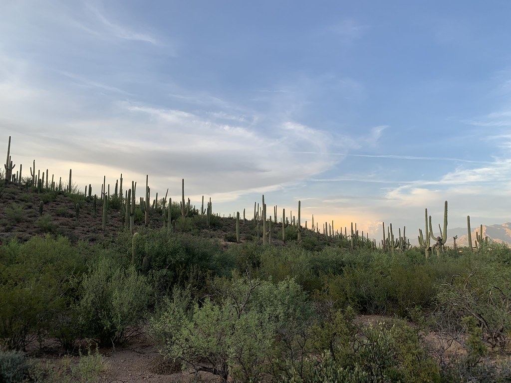 Photo: «Gaurav», CC BY-SA 2.0 (via Flickr)
- 1.0 mi
- round trip
- 196 ft
- climb
- 2,558 ft
- high point
- Out and back
- route
- Nov–Apr
- best months
Saguaro Vista Trail is a short, easy hike in Sweetwater Reserve, a county-managed area in Arizona. The trail is about 1 mile long and sits at roughly 2,500 feet, with a high point of 2,558 feet and a low of 2,466 feet. It is an out-and-back route, and the climb is back-loaded, with the steepest stretch at about 0.6 miles in, where the grade reaches 6 percent. The most comfortable months for a visit are typically November and March, when typical averages from a nearby weather station run from highs around 76°F to 67°F and lows in the upper 40s. Summer is hot, with typical highs near 102°F in June and July. The trail makes an easy pairing with other short loops in the area. Black Rock Loop and Sun Circle Loop both start about 0.1 mile away, and Lost Arrow Trail is about half a mile off. For climbing, the Tucson Mountains area is about 3.7 miles away.
 Black Rock LoopHikingPhoto: «Gaurav», CC BY-SA 2.0 (via Flickr)0.1 mi
- Sun Circle LoopHikingPhoto: «Gaurav», CC BY-SA 2.0 (via Flickr)0.1 mi
- Lost Arrow TrailHikingPhoto: «Gaurav», CC BY-SA 2.0 (via Flickr)0.5 mi
 Wildflower Ridge TrailHikingPhoto: «Gaurav», CC BY-SA 2.0 (via Flickr)0.7 mi
- Tucson MountainsRock climbing3.7 mi
 The "Gimme Some" DomeRock climbingPhoto: «Gaurav», CC BY-SA 2.0 (via Flickr)3.7 mi
 Gate's PassRock climbingPhoto: Daniel Ramirez from Honolulu, USA, CC BY 2.0 (via Wikimedia Commons)4.5 mi
- The SanctuaryRock climbing5.4 mi
Source: Roamze catalog (indexable pages within 10 miles, PostGIS distance)
- Sun Circle LoopHiking · Next doorPhoto: «Gaurav», CC BY-SA 2.0 (via Flickr)
 Sweetwater TrailHiking · ~3 min drivePhoto: BioBlitzEmily, CC BY 2.0 (via Flickr)
 Picture Rocks Wash TrailHiking · ~6 min drivePhoto: CK Kelly, CC BY 4.0 (via Wikimedia Commons)
- Lost Arrow TrailHiking · Next doorPhoto: «Gaurav», CC BY-SA 2.0 (via Flickr)
 Golden Gate Mountain LoopHiking · ~7 min drivePhoto: w_lemay, CC BY-SA 2.0 (via Flickr)
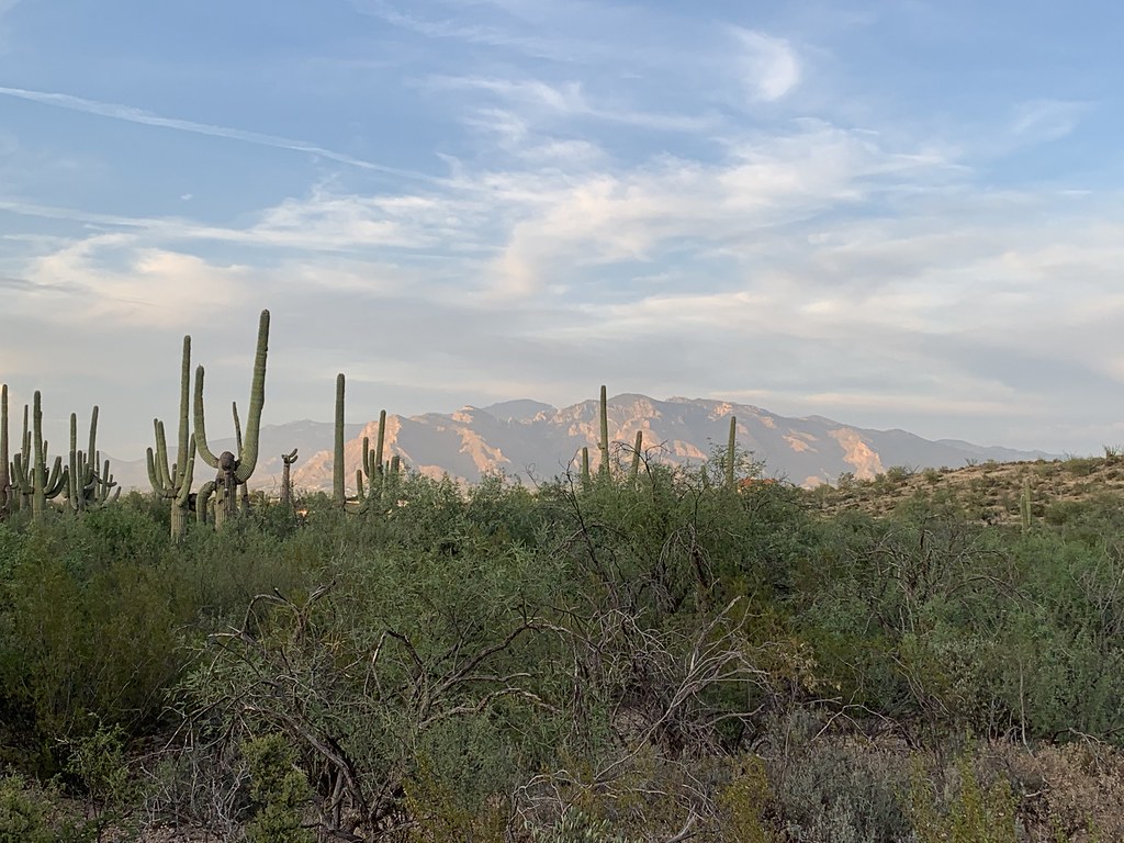 Roller Coaster TrailHiking · Next doorPhoto: «Gaurav», CC BY-SA 2.0 (via Flickr)
- Wildflower Ridge TrailHiking · ~1 min drivePhoto: «Gaurav», CC BY-SA 2.0 (via Flickr)
 Desperado LoopHiking · ~1 min drivePhoto: «Gaurav», CC BY-SA 2.0 (via Flickr)
 Red Canyon TrailHiking · ~1 min drivePhoto: «Gaurav», CC BY-SA 2.0 (via Flickr)
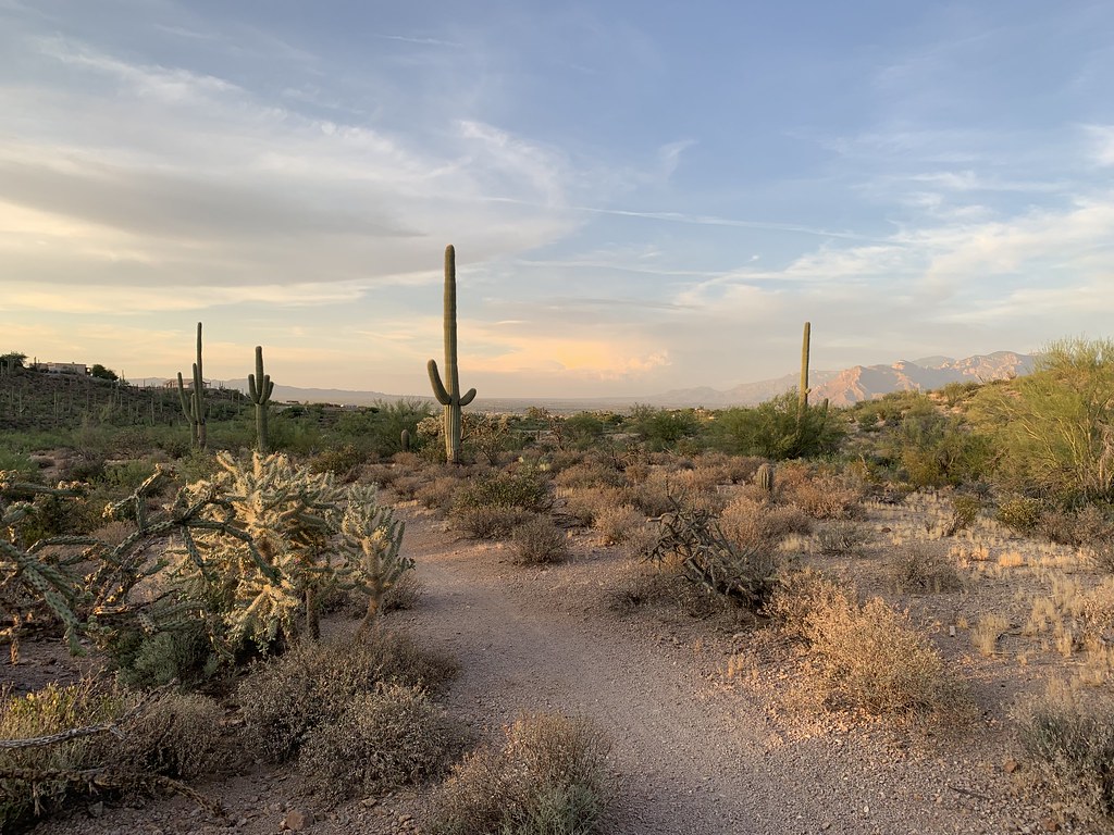 Night Hawk TrailHiking · ~2 min drivePhoto: «Gaurav», CC BY-SA 2.0 (via Flickr)
Best time to visit Saguaro Vista Trail
Best months: November–April. Best months have typical highs of 55–85 °F, lows of 30 °F or warmer (32 °F where the station doesn't record snow), at most one snowy day and no more than 12 wet days.
Jan
67° / 39°
4 wet
Feb
70° / 41°
4 wet
Mar
76° / 46°
3 wet
Apr
84° / 51°
1 wet
May
93° / 59°
1 wet
Jun
102° / 69°
2 wet
Jul
102° / 74°
7 wet
Aug
100° / 72°
8 wet
Sep
97° / 68°
5 wet
Oct
87° / 57°
3 wet
Nov
76° / 47°
3 wet
Dec
66° / 39°
4 wet
Typical high / low (°F) and days with rain or snow, 1991–2020. Measured at Tucson 17 Nw, AZ, 6.2 mi away at 2,561 ft. Source: NOAA NCEI U.S. Climate Normals 1991–2020.
Map and trail data © OpenStreetMap contributors
