Royal Arch Trail
- 0.4 mi
- round trip
- 299 ft
- climb
- 6,722 ft
- high point
- Out and back
- route
- Apr–Jun, Aug–Oct
- best months
Royal Arch Trail is a short, out-and-back hike in Arizona, set within the Navajo Region Fire and Aviation Management area. The trail is about 0.44 miles from the start to the high point, with a total round trip of roughly 0.88 miles and a total elevation gain of about 300 feet. It reaches a high point of about 6,722 feet, and the steepest stretch comes near the middle of the route, with a grade of about 27%. The most comfortable months for a visit are typically late spring and early fall. Typical averages from the nearby Lukachukai weather station, at a similar elevation, run from highs around 72°F in May to about 79°F in September, with lows in the low 50s. Winter there is cold, with January highs near 39°F and lows around 18°F. The trip takes about half an hour, so plan on a quick outing. The closest nearby destination is the Cove Area climbing area, about 3.6 miles away.
Source: Roamze catalog (indexable pages within 10 miles, PostGIS distance)
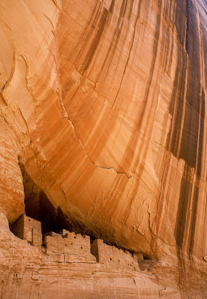 White House TrailHiking · ~1h 1m drivePhoto: Jon Gudorf Photography — CC BY-SA 2.0 (via Flickr)
 Concrete SidewalkHiking · ~1h 2m drivePhoto: Ronnie Macdonald, CC BY 2.0 (via Flickr)
- Dancing Horse TrailHiking · ~49 min drive
- Beauty Hills TrailHiking · ~50 min drive
- Canyon TrekHiking · ~51 min drive
- Cleopatra Needle TrailHiking · ~1h 21m drive
- Unnamed BLM TrailHiking · ~1h 22m drive
- Pack TrailHiking · ~1h 25m drive
Best time to visit Royal Arch Trail
Best months: April–June and August–October. Best months have typical highs of 55–85 °F, lows of 30 °F or warmer (32 °F where the station doesn't record snow), at most one snowy day and no more than 12 wet days.
Jan
39° / 18°
Feb
46° / 24°
Mar
55° / 30°
Apr
60° / 35°
May
72° / 43°
Jun
84° / 53°
Jul
88° / 59°
Aug
85° / 58°
Sep
79° / 52°
Oct
67° / 39°
Nov
53° / 29°
Dec
41° / 19°
Typical high / low (°F) and days with rain or snow, 1991–2020. Measured at Lukachukai, AZ, 13.1 mi away at 6,520 ft. This station doesn't record snowfall. Source: NOAA NCEI U.S. Climate Normals 1991–2020.


Map and trail data © OpenStreetMap contributors
