

Patagonia RV Park
Hiking business nearby (~41 mi away) — hasn't claimed their Roamze page yet
Ridge View Trail
Free — you'll pick up right here.
Watch this trail
Sign up to watch it — saving subscribes you to gate, closure and report changes.
Arizona
No agency boundary, access route or field report is mapped to it — so there is no verdict, and we won't guess. We'll tell you the moment this trail has something to say.
Covered nearby
Trails within 25 miles where we do have a current picture.
Nobody's filed a report here yet — be the first.
Ridge View Trail
AI-suggested draft · review before you go
No elevation data on file for this trail.
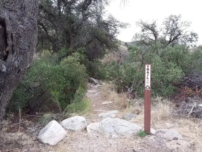
This easy to moderate trail begins at the Loma Alta Trailhead, along the southern parts of the Rincon Mountain District. This trail traverses 2.2miles (round-trip) and has roughly 300ft of elevation change throughout. It provides a secluded hiking experience, along with beautiful sonoran desert views. The end of the trail also provides spectacular sunset viewing.
Quilter Trail
~3 min drive
A hard 4.39-mile out-and-back trail in Arizona connecting to Hope Camp and Manning Camp Trails, ideal for experienced hikers seeking backcountry exploration.
Hope Camp Trail
~3 min drive
An easy 0.82-mile out-and-back trail in Arizona following an old vehicle track, perfect for a leisurely hike.
Arizona Trail - Pistol Hill
~4 min drive
A 1.80-mile out-and-back trail in Arizona.
Carrillo Trail
~10 min drive
6.4 mi · Moderate
Azt - Pistol Hill
~8 min drive
A hard, rocky 2.43-mile out-and-back trail in Arizona connected to the Three Bridges Mountain Bike Trail system.
Garwood Trail
~10 min drive
2.9 mi · Easy
Tanque Verde Ridge Trail
~5 min drive
Tanque Verde Ridge Trail offers a wide variety of hiking options for visitors. From a quick walk up to the overlook, to a multi day trip up the mountain. The trail extends a total of 11 miles from the trailhead, up to Cow Head Saddle Trail. Along the trail sits one of the many…
Manning Camp Trail
~16 min drive
A moderate 7.04-mile out-and-back trail in Arizona connecting to Devil's Bathtub and Grass Shack Campground.
Agua Caliente Hill
~17 min drive
8.9 mi · Hard
Three Tank Trail
~10 min drive
4.3 mi · Easy
Local operatorsoffering guided trips. You book directly with them — Roamze doesn’t take a cut.
Patagonia RV Park
Hiking business nearby (~41 mi away) — hasn't claimed their Roamze page yet