The Pines
Campground
Campground · 4.7 mi from the trail
 Photo: Tom Check from Prescott, USA, CC BY-SA 2.0 (via Wikimedia Commons)
Pronghorn Trail is a short, easy out-and-back hike in Arizona, about 2 miles from the town of Whipple. The route is 0.66 miles long, with a total elevation gain of 313 feet, and it reaches a high point of 5,457 feet. The trail is rolling, and the steepest stretch comes early, at about 0.17 miles in, with a grade of 9 percent. Spring and fall are the most comfortable times to go. Typical averages from a nearby weather station in Prescott show May highs around 76°F and October highs around 73°F, while July and August average about 90°F. The hike takes about half an hour. Vista View Loop starts just 0.1 mile away, and the Prescott Lakes Powerline Trail is about half a mile off. Climbers can head to Pavilion Wall, about 1.8 miles away, and Thumb Butte campground is roughly 4.8 miles away.
The Pines
Campground
 If it rainsDoncram, CC BY-SA 3.0 · Wikimedia Commons
An open-air museum located in Prescott, Arizona
Places © OpenStreetMap contributors · Photos: Doncram, CC BY-SA 3.0 (commons)
More in PrescottNot on Roamze yet. Their page has how to reach them.
 Vista View LoopHikingPhoto: Scottb211, CC BY 2.0 (via Flickr)0.1 miPrescott Lakes Powerline TrailHikingPhoto: Scottb211, CC BY 2.0 (via Flickr)0.5 mi
 Pavilion WallRock climbingPhoto: Sean Foster, CC BY 3.0 (via Wikimedia Commons)1.8 miThor's ChasmRock climbingPhoto: Sean Foster, CC BY 3.0 (via Wikimedia Commons)1.9 mi
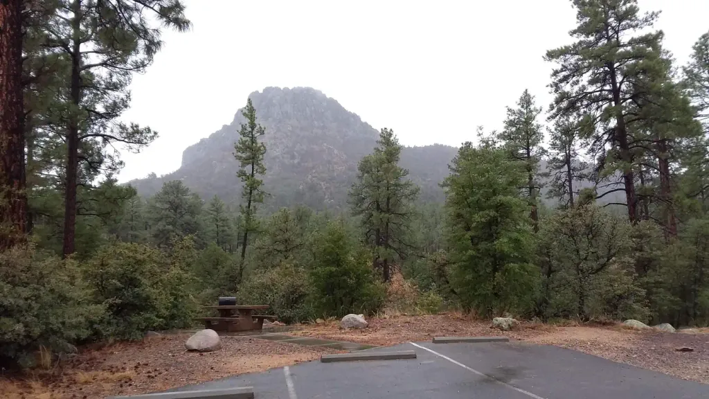 Thumb ButteCampingPhoto: Recreation.gov (RIDB) / public domain4.8 mi
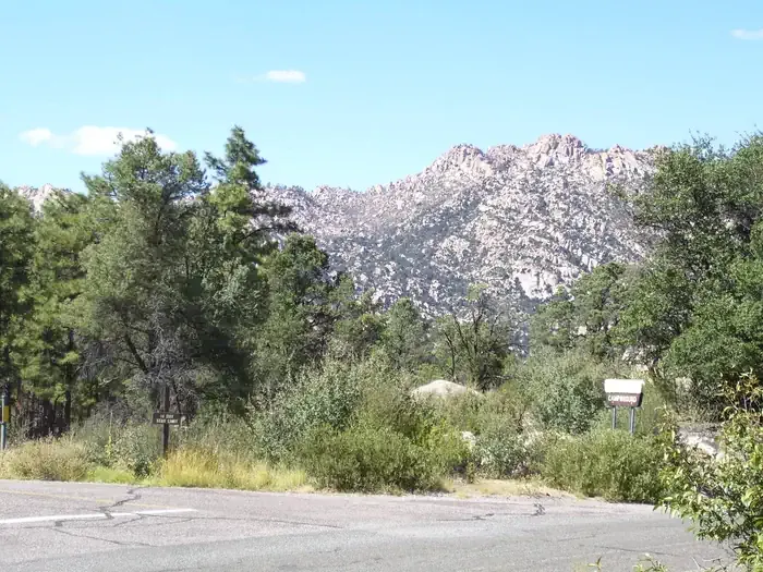 Yavapai CampgroundCampingPhoto: Recreation.gov (RIDB) / public domain5.2 mi
Source: Roamze catalog (indexable pages within 10 miles, PostGIS distance)
Vista View LoopHiking · Next doorPhoto: Scottb211, CC BY 2.0 (via Flickr)Peavine TrailHiking · ~3 min drivePhoto: Tom Check from Prescott, USA, CC BY-SA 2.0 (via Wikimedia Commons)Prescott Lakes Powerline TrailHiking · Next doorPhoto: Scottb211, CC BY 2.0 (via Flickr) Panorama TrailHiking · Next doorPhoto: Ken Lund from Reno, Nevada, USA, CC BY-SA 2.0 (via Wikimedia Commons)
 Hawkeye LoopHiking · Next doorPhoto: Scottb211, CC BY 2.0 (via Flickr)Low Water TrailHiking · ~2 min drivePhoto: Ken Lund from Reno, Nevada, USA, CC BY-SA 2.0 (via Wikimedia Commons)
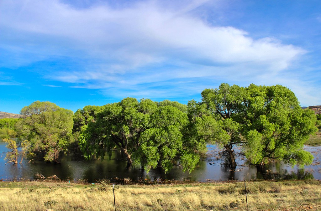 West Willow Nature TrailHiking · ~2 min drivePhoto: Scottb211, CC BY 2.0 (via Flickr)Walking TrailHiking · ~2 min drivePhoto: Tom Check from Prescott, USA, CC BY-SA 2.0 (via Wikimedia Commons)
Best months: March–May and September–October. Best months have typical highs of 55–85 °F, lows of 30 °F or warmer (32 °F where the station doesn't record snow), at most one snowy day and no more than 12 wet days.
Jan
53° / 24°
5 wet
Feb
55° / 26°
6 wet
Mar
61° / 32°
5 wet
Apr
68° / 37°
3 wet
May
76° / 45°
3 wet
Jun
87° / 54°
3 wet
Jul
90° / 61°
9 wet
Aug
87° / 60°
10 wet
Sep
82° / 52°
6 wet
Oct
73° / 40°
4 wet
Nov
62° / 30°
4 wet
Dec
52° / 24°
5 wet
Typical high / low (°F) and days with rain or snow, 1991–2020. Measured at Prescott, AZ, 1.6 mi away at 5,205 ft. This station doesn't record snowfall. Source: NOAA NCEI U.S. Climate Normals 1991–2020.
Map and trail data © OpenStreetMap contributors
