Ocotillo Trail
- 3.1 mi
- round trip
- 926 ft
- climb
- 1,934 ft
- high point
- Out and back
- route
- Nov–Apr
- best months
Ocotillo Trail is a 6.3-mile out-and-back hike in Arizona's Sonoran Mountain Preserve, on city-managed land. The trail rises steadily from a starting point of about 1,822 feet to a high of 1,934 feet, with a total elevation gain of 926 feet for the round trip. The climb is moderate, and the steepest stretch comes at about 1.9 miles in, where the grade reaches 11 percent. Spring and fall are the most comfortable times to go. Typical averages from a nearby weather station show March highs around 75°F and November highs around 74°F, while June and July average in the low to mid 100s. That station sits roughly 480 feet lower than the trail's high point, so temperatures on the ridge run a bit cooler. The hike takes about 2.5 hours. Sidewinder Trail and Ridgeback Trail both lie within a mile, and Apache Wash Trail is about 2 miles away. Paddlers can reach the New River, about 5.7 miles off.
Local outfitters
- Black Canyon Campground19 mi away
- Arizona Desert Mountain Jeep Tours20 mi away
Not on Roamze yet. Their page has how to reach them.
- Sidewinder TrailHiking0.9 mi
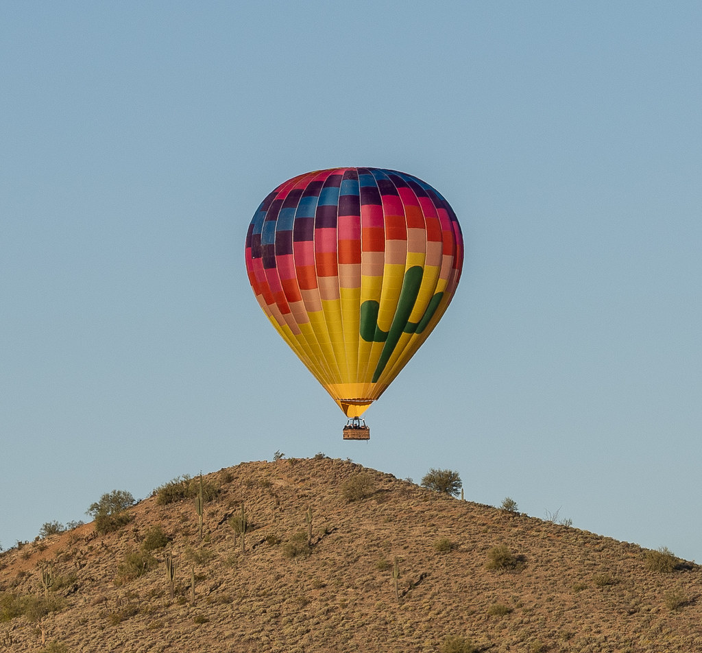 Ridgeback TrailHikingPhoto: Tanque Verde, CC BY 2.0 (via Flickr)1.1 mi
- Apache Wash TrailHiking2 mi
- Bobcat TrailHiking2 mi
- New RiverCanoeing5.7 mi
- Den BoulderRock climbing6.2 mi
- IcecapadesRock climbing6.2 mi
- Saddle BouldersRock climbing6.3 mi
Source: Roamze catalog (indexable pages within 10 miles, PostGIS distance)
 Ocotillo TrailHiking · Next doorPhoto: Tanque Verde, CC BY 2.0 (via Flickr)
 Saguaro TrailHiking · ~8 min drivePhoto: GTGallop, CC BY-SA 3.0 (via Wikimedia Commons)
- Apache Wash TrailHiking · ~3 min drive
- Black Canyon TrailHiking · ~9 min drive
- Ridgeback TrailHiking · ~2 min drivePhoto: Tanque Verde, CC BY 2.0 (via Flickr)
- Flume TrailHiking · ~10 min drivePhoto: GTGallop, CC BY-SA 3.0 (via Wikimedia Commons)
- Black Canyon National Recreation TrailHiking · ~9 min drive
- Cliff Walk TrailHiking · ~8 min drivePhoto: GTGallop, CC BY-SA 3.0 (via Wikimedia Commons)
- Bobcat TrailHiking · ~4 min drive
- Circumference TrailHiking · ~11 min drive
Best time to visit Ocotillo Trail
Best months: November–April. Best months have typical highs of 55–85 °F, lows of 30 °F or warmer (32 °F where the station doesn't record snow), at most one snowy day and no more than 12 wet days.
Jan
65° / 44°
4 wet
Feb
68° / 46°
4 wet
Mar
75° / 51°
3 wet
Apr
82° / 57°
2 wet
May
91° / 65°
1 wet
Jun
101° / 73°
1 wet
Jul
104° / 81°
3 wet
Aug
103° / 81°
4 wet
Sep
98° / 75°
3 wet
Oct
86° / 63°
3 wet
Nov
74° / 51°
3 wet
Dec
64° / 43°
4 wet
Typical high / low (°F) and days with rain or snow, 1991–2020. Measured at Phoenix Deer Valley Muni Ap, AZ, 6.7 mi away at 1,455 ft. This station doesn't record snowfall. Source: NOAA NCEI U.S. Climate Normals 1991–2020.
Map and trail data © OpenStreetMap contributors
