Flume Trail
 Photo: GTGallop, CC BY-SA 3.0 (via Wikimedia Commons)
- 1.5 mi
- round trip
- 837 ft
- climb
- 2,135 ft
- high point
- Out and back
- route
- Nov–Apr
- best months
Flume Trail is an easy out-and-back hike in Cave Creek Regional Park, Arizona, on land managed by a regional agency. The trail is about 3 miles long, with a total elevation gain of 837 feet, and it reaches a high point of 2,135 feet. The climb is steady, and the steepest stretch comes at about 0.86 miles in, with a grade of 7 percent. Spring and fall are the most comfortable times to go. Typical averages from a nearby weather station in Carefree show March highs around 74°F and October highs around 86°F, while June and July average in the low 100s. The hike takes about 1.5 hours. The trail starts at a low point of 1,947 feet and ends at the same elevation, so it works well as a short outing. Several other trails sit within a mile, including DFLT Seitts, Saguaro Trail and Cliff Walk Trail.
Local outfitters
- Arizona Desert Mountain Jeep Tours15 mi away
- Black Canyon Campground19 mi away
Not on Roamze yet. Their page has how to reach them.
- DFLT SeittsHiking0.8 mi
- Saguaro TrailHikingPhoto: GTGallop, CC BY-SA 3.0 (via Wikimedia Commons)1.1 mi
- Cliff Walk TrailHikingPhoto: GTGallop, CC BY-SA 3.0 (via Wikimedia Commons)1.1 mi
- Quartz TrailHiking1.1 mi
 Cactus Flower EastRock climbingPhoto: SocialMediaAdventure, CC BY 2.0 (via Flickr)8.6 mi
- Y-Crack BoulderRock climbing8.7 mi
 Cactus Flower WestRock climbingPhoto: SocialMediaAdventure, CC BY 2.0 (via Flickr)8.8 mi
- New RiverCanoeing9.1 mi
Source: Roamze catalog (indexable pages within 10 miles, PostGIS distance)
- Saguaro TrailHiking · ~2 min drivePhoto: GTGallop, CC BY-SA 3.0 (via Wikimedia Commons)
- Cliff Walk TrailHiking · ~2 min drivePhoto: GTGallop, CC BY-SA 3.0 (via Wikimedia Commons)
- Apache Wash TrailHiking · ~8 min drive
 Boca Grande TrailHiking · ~9 min drivePhoto: Tanque Verde, CC BY 2.0 (via Flickr)
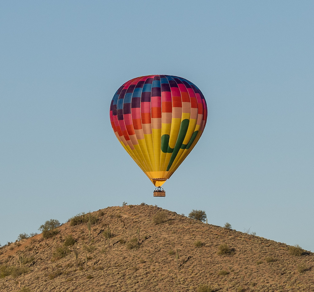 Ridgeback TrailHiking · ~8 min drivePhoto: Tanque Verde, CC BY 2.0 (via Flickr)
 Dragonfly TrailHiking · ~9 min drivePhoto: Sean Foster, CC BY 3.0 (via Wikimedia Commons)
 Ocotillo TrailHiking · ~10 min drivePhoto: Tanque Verde, CC BY 2.0 (via Flickr)
- Fairy Duster TrailHiking · ~10 min drivePhoto: Sean Foster, CC BY 3.0 (via Wikimedia Commons)
- Limestone Trail #252Hiking · ~12 min drivePhoto: Sean Foster, CC BY 3.0 (via Wikimedia Commons)
 Metate TrailHiking · ~10 min drivePhoto: Tanque Verde, CC BY 2.0 (via Flickr)
Best time to visit Flume Trail
Best months: November–April. Best months have typical highs of 55–85 °F, lows of 30 °F or warmer (32 °F where the station doesn't record snow), at most one snowy day and no more than 12 wet days.
Jan
65° / 42°
4 wet
Feb
67° / 44°
4 wet
Mar
74° / 48°
4 wet
Apr
82° / 53°
2 wet
May
91° / 61°
1 wet
Jun
101° / 70°
1 wet
Jul
103° / 76°
3 wet
Aug
102° / 76°
5 wet
Sep
97° / 70°
3 wet
Oct
86° / 60°
3 wet
Nov
73° / 49°
3 wet
Dec
64° / 41°
4 wet
Typical high / low (°F) and days with rain or snow, 1991–2020. Measured at Carefree, AZ, 4.6 mi away at 2,530 ft. Source: NOAA NCEI U.S. Climate Normals 1991–2020.
Map and trail data © OpenStreetMap contributors
