Haycreek Ranch
Campground
Campground · 4.7 mi from the trail
Mariposa Trail is an easy out-and-back hike in Oracle State Park, about 1.8 miles from the town of Oracle, Arizona. The trail is managed by State Park and Recreation and covers about 2.5 miles round trip, with a steady climb of about 432 feet from the start at 4,375 feet to a high point of 4,410 feet. The steepest stretch comes at about 0.9 miles in, with an 8% grade. Spring and fall are the most comfortable times to go. Typical averages from a nearby weather station show October highs around 77°F with lows near 52°F, and April highs around 71°F. Summer highs there typically reach the low 90s. Several other trails sit close by. Granite Overlook Loop is about 0.1 mile away and Bellota Trail Loop about 0.3 mile. The Nature Trail Loop, a mountain biking route, is about 0.5 mile off, and Peppersauce campground is about 5 miles away.
Haycreek Ranch
Campground
Wildlife Viewing Area
Viewpoint
Places © OpenStreetMap contributors
More in OracleSource: Roamze catalog (indexable pages within 10 miles, PostGIS distance)
 Around the MountainHiking · ~17 min drivePhoto: CWanamaker, CC BY 3.0 (via Wikimedia Commons)Gem TrailHiking · ~19 min drivePhoto: CWanamaker, CC BY 3.0 (via Wikimedia Commons)
 Crystal SpringHiking · ~19 min drivePhoto: Joe Passe, CC BY-SA 2.0 (via Flickr)
 Aspen DrawHiking · ~19 min drivePhoto: Joe Passe, CC BY-SA 2.0 (via Flickr)Upper 50 Year/Deer Camp LoopHiking · ~19 min drivePhoto: CWanamaker, CC BY 3.0 (via Wikimedia Commons)East Ski Run RoadHiking · ~19 min drivePhoto: Joe Passe, CC BY-SA 2.0 (via Flickr)
Also worth it near here
 Oracle RidgeMountain biking · ~12 min drivePhoto: Colton Marshall abstractstatemachine, CC0 (via Wikimedia Commons)
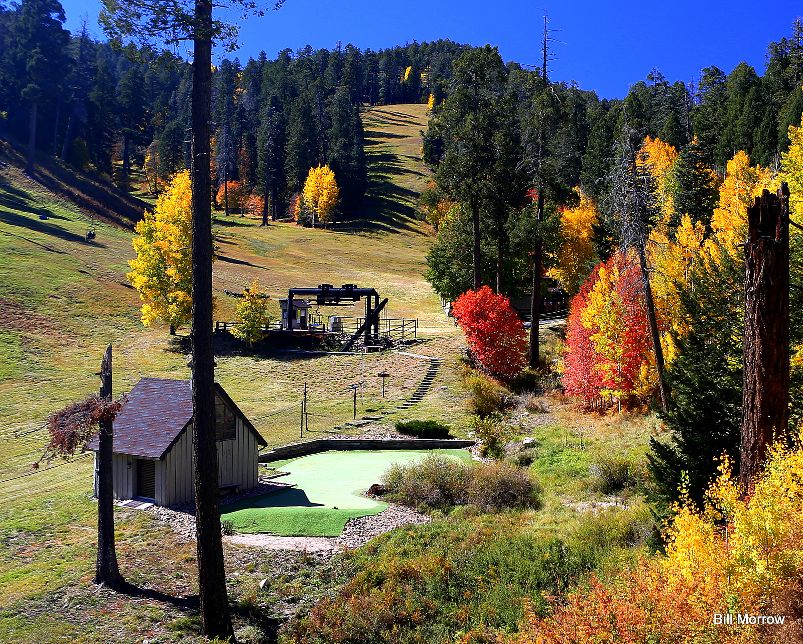 Mount Lemmon Ski ValleyDownhill skiing · ~20 min drivePhoto: Bill Morrow, CC BY 2.0 (via Wikimedia Commons)
 Mount LemmonSummit · ~20 min drivePhoto: Debby Kriegel, Public domain (via Wikimedia Commons)
Best months: October–May. Best months have typical highs of 55–85 °F, lows of 30 °F or warmer (32 °F where the station doesn't record snow), at most one snowy day and no more than 12 wet days.
Jan
56° / 35°
6 wet
Feb
58° / 37°
6 wet
Mar
64° / 42°
6 wet
Apr
71° / 46°
3 wet
May
82° / 56°
2 wet
Jun
92° / 66°
3 wet
Jul
91° / 69°
9 wet
Aug
90° / 67°
11 wet
Sep
86° / 63°
7 wet
Oct
77° / 52°
4 wet
Nov
64° / 42°
4 wet
Dec
55° / 36°
5 wet
Typical high / low (°F) and days with rain or snow, 1991–2020. Measured at Oracle 2 Se, AZ, 0.6 mi away at 4,510 ft. This station doesn't record snowfall. Source: NOAA NCEI U.S. Climate Normals 1991–2020.
Map and trail data © OpenStreetMap contributors
