

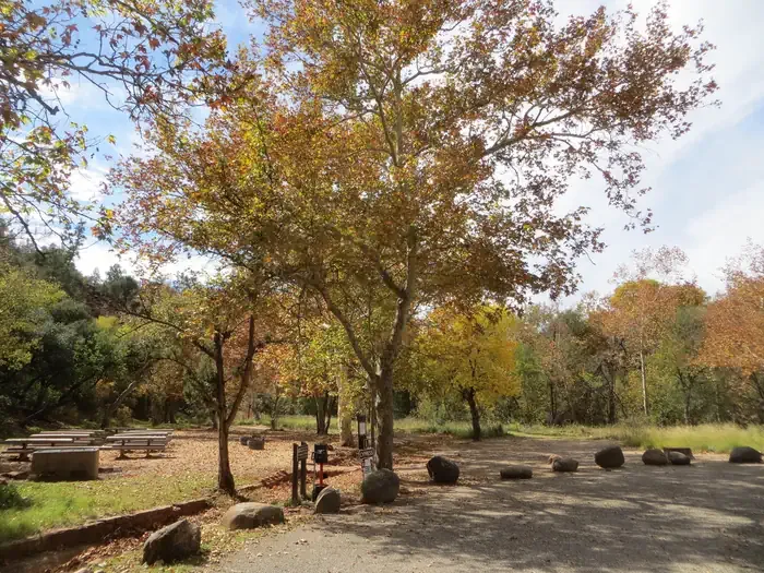
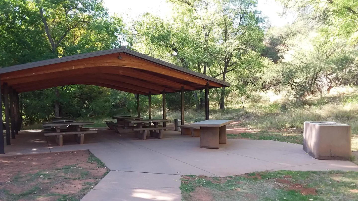
Rancho Sedona RV Park
Hiking business nearby (~1 mi away) — hasn't claimed their Roamze page yet
Free — you'll pick up right here.
Watch this trail
Sign up to watch it — saving subscribes you to gate, closure and report changes.
Arizona
3.7 mi
Distance
164 ft
Gain
1h 20m
Time
An agency closure order is in effect for this area; weather is good
2 factors · 2 sources
Newest 11 h ago · oldest 6 d
problem: Agency alerts
17 active alerts in Coconino National Forest; most severe: West Fork Temporary Area Closure
USFS6 d ago
clear: Weather
Clouds, high 88°F / low 64°F, 0% precip — 86/100 for hike
OpenWeather11 h ago
Been out here in the last few days? One report keeps this current for everyone.
Why you'll love it
Margs Draw #163
AI-suggested draft · review before you go
Margs Draw #163 is a 3.7-mile out-and-back trail located in Arizona and managed by the U.S. Forest Service. This route features modest elevation gain of 164 feet, making it accessible for hikers of varying experience levels. The out-and-back format means you'll retrace your steps on the return journey, covering approximately 7.4 miles total distance for a round trip. The trail is maintained by the U.S. Forest Service, which oversees numerous recreational areas across Arizona's diverse landscapes. With relatively low elevation gain spread across the route, Margs Draw #163 offers a manageable day hike option. The 3.7-mile one-way distance makes this suitable for those seeking a moderate outing without extreme time commitment. Before heading out, check current conditions with the U.S. Forest Service, as trail status and accessibility can vary seasonally. Bring adequate water and sun protection appropriate for Arizona's climate. This trail provides a straightforward hiking experience in the region.
Broken Arrow Spur #125A
~1 min drive
1.6 mi · Easy
Airport Loop #210
~3 min drive
3.3 mi · Moderate
Peccary #125B
~1 min drive
0.9 mi · Easy
Munds Wagon #78
~3 min drive
7.7 mi · Moderate
Jim Bryant #199
~2 min drive
3.4 mi · Easy
Templeton #156
~4 min drive
6.8 mi · Moderate
Sedona View #169
~3 min drive
An easy 0.71-mile lollipop trail in Arizona, perfect for a quick and accessible hike.
Coconino Loop #126
~3 min drive
0.3 mi · Easy
Summit #126B
~3 min drive
0.0 mi · Easy
Brewer #212
~3 min drive
1.5 mi · Easy
Local operatorsoffering guided trips. You book directly with them — Roamze doesn’t take a cut.
Rancho Sedona RV Park
Hiking business nearby (~1 mi away) — hasn't claimed their Roamze page yet
Canyon Outfitters Sedona
Hiking business nearby (~3 mi away) — hasn't claimed their Roamze page yet
Camp Avalon Spiritual Nature Retreat
Hiking business nearby (~4 mi away) — hasn't claimed their Roamze page yet