

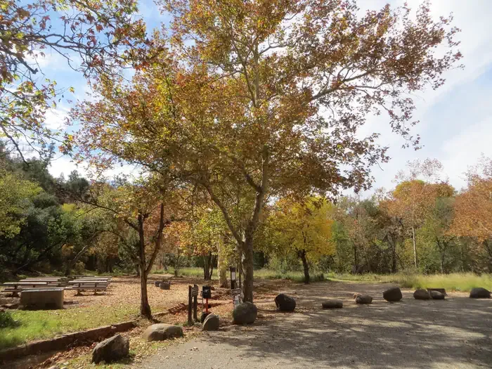
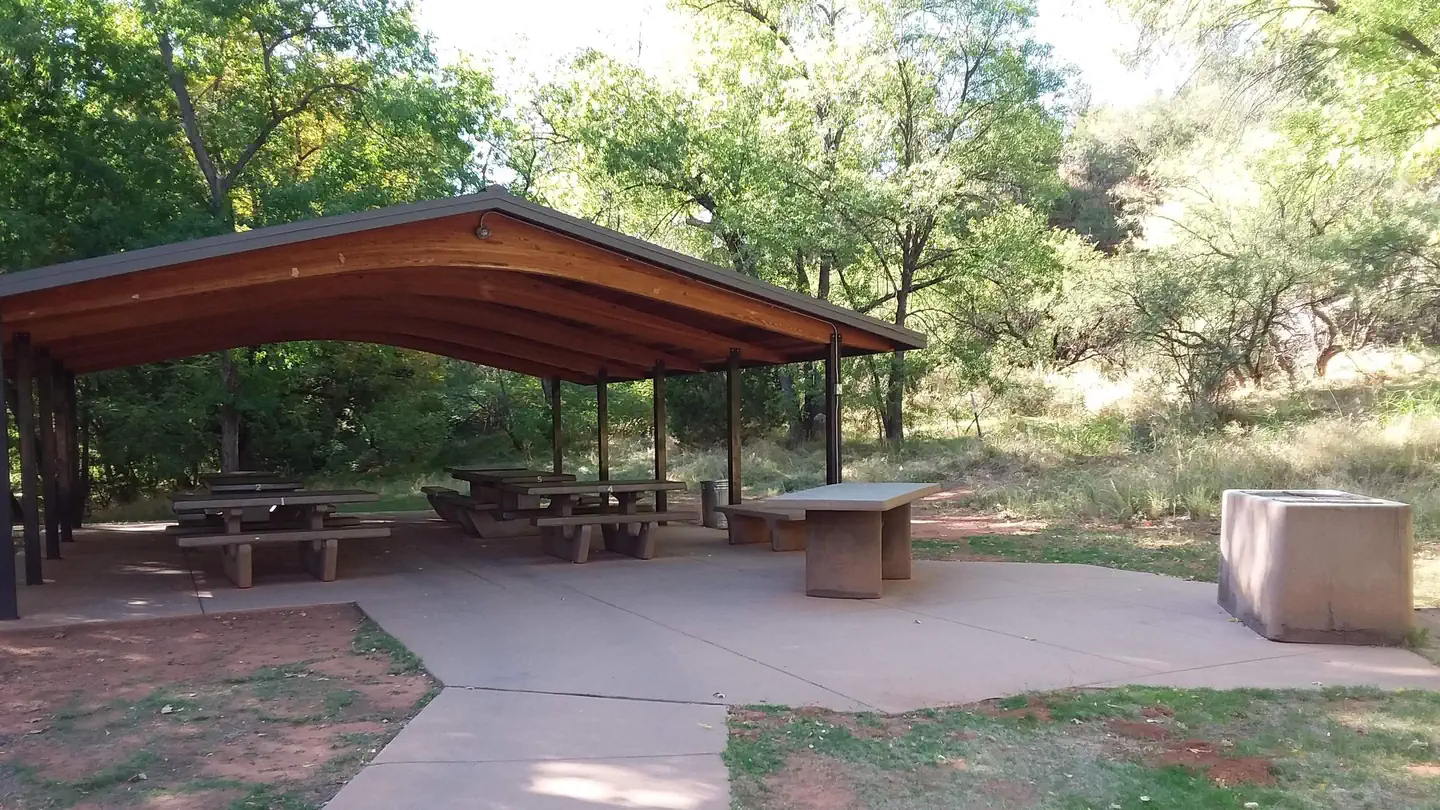
Camp Avalon Spiritual Nature Retreat
Hiking business nearby (~3 mi away) — hasn't claimed their Roamze page yet
Free — you'll pick up right here.
Watch this trail
Sign up to watch it — saving subscribes you to gate, closure and report changes.
Arizona
6.8 mi
Distance
255 ft
Gain
2h 23m
Time
We won't guess. Here is exactly what we do and don't know.
What we do know
Inside Coconino National Forest
2 managing-area boundaries mapped — agency alerts for them feed this page automatically.
Boundary data
What's missing
No access route mapped
We don't yet know which road reaches this trailhead, so we can't tell you if it's gated.
Nobody's filed a report here yet — be the first.
Why you'll love it
Templeton #156
AI-suggested draft · review before you go
Templeton #156 is a 6.8-mile out-and-back trail managed by the U.S. Forest Service in Arizona. With 255 feet of elevation gain, this route offers a moderate hiking experience suitable for a range of skill levels. The gradual elevation change means hikers can maintain a steady pace without extreme climbs or descents. As an out-and-back trail, hikers will follow the same route returning to the trailhead, making it straightforward to navigate. The total distance of 6.8 miles allows for a half-day outing, typically taking 2-3 hours depending on pace and conditions. The trail is situated within Forest Service lands, which typically feature well-maintained pathways and established trailside management. Hikers should check with the U.S. Forest Service for current conditions, any seasonal closures, and specific regulations before heading out. Weather and trail conditions can vary seasonally in Arizona, so planning accordingly is recommended. Bring adequate water and sun protection for your hike.
Easy Breezy #192
~0 min drive
2.2 mi · Easy
Belt Rock Pathway #96
~2 min drive
7.1 mi · Moderate
Coconino #172B
~0 min drive
0.7 mi · Easy
Hiline #193
~1 min drive
6.2 mi · Moderate
Bail #656
~0 min drive
0.7 mi · Easy
Coconino Spur #172C
~1 min drive
0.1 mi · Easy
Baby Bell #655
~1 min drive
0.5 mi · Easy
Kaibab #172A
~1 min drive
0.3 mi · Easy
Basalt #172D
~1 min drive
0.1 mi · Easy
Bell Rock Loop Extension #657
~1 min drive
0.3 mi · Easy
Local operatorsoffering guided trips. You book directly with them — Roamze doesn’t take a cut.
Camp Avalon Spiritual Nature Retreat
Hiking business nearby (~3 mi away) — hasn't claimed their Roamze page yet
Rancho Sedona RV Park
Hiking business nearby (~4 mi away) — hasn't claimed their Roamze page yet
Canyon Outfitters Sedona
Hiking business nearby (~4 mi away) — hasn't claimed their Roamze page yet