Haycreek Ranch
Campground
Campground · 3.9 mi from the trail
Manzanita Trail is an easy out-and-back hike in Oracle State Park in Arizona, managed by State Park and Recreation. The trail is about 3.7 miles long, with a total elevation gain of 420 feet, and it starts and ends at roughly 4,128 feet. The climb is front-loaded, with the steepest stretch at about 0.9 miles in, where the grade reaches 8 percent. The high point on the route is 4,402 feet. Spring and fall are the most comfortable times to go. Typical averages from a nearby weather station show October highs around 77°F with lows near 52°F, and April highs around 71°F. Summer is hot, with June and July highs in the low 90s. The hike takes about 1.5 hours. Cottonwood Wash Trail and the Wildlife Corridor Trail are both about a mile away, and the Arizona Trail is just over a mile off. For an overnight stay, Peppersauce campground is about 4.6 miles away.
Haycreek Ranch
Campground
Wildlife Viewing Area
Viewpoint
Places © OpenStreetMap contributors
More in OracleSource: Roamze catalog (indexable pages within 10 miles, PostGIS distance)
 Crystal SpringHiking · ~19 min drivePhoto: Joe Passe, CC BY-SA 2.0 (via Flickr)
 Around the MountainHiking · ~19 min drivePhoto: CWanamaker, CC BY 3.0 (via Wikimedia Commons)East Ski Run RoadHiking · ~19 min drivePhoto: Joe Passe, CC BY-SA 2.0 (via Flickr)
 Aspen DrawHiking · ~19 min drivePhoto: Joe Passe, CC BY-SA 2.0 (via Flickr)Gem TrailHiking · ~20 min drivePhoto: CWanamaker, CC BY 3.0 (via Wikimedia Commons)Upper 50 Year/Deer Camp LoopHiking · ~20 min drivePhoto: CWanamaker, CC BY 3.0 (via Wikimedia Commons)
Also worth it near here
 Oracle RidgeMountain biking · ~12 min drivePhoto: Colton Marshall abstractstatemachine, CC0 (via Wikimedia Commons)
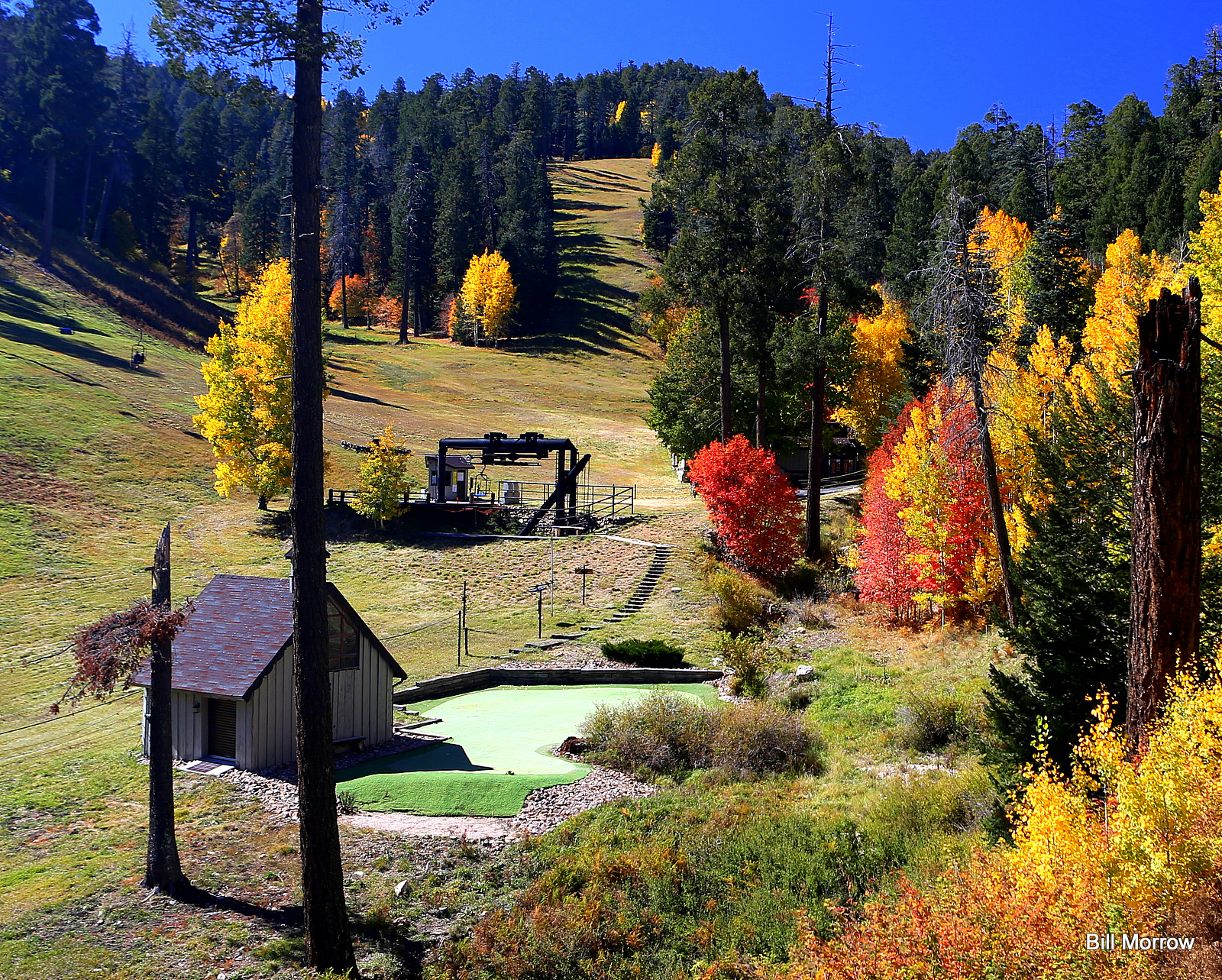 Mount Lemmon Ski ValleyDownhill skiing · ~20 min drivePhoto: Bill Morrow, CC BY 2.0 (via Wikimedia Commons)
 Mount LemmonSummit · ~21 min drivePhoto: Debby Kriegel, Public domain (via Wikimedia Commons)
Best months: October–May. Best months have typical highs of 55–85 °F, lows of 30 °F or warmer (32 °F where the station doesn't record snow), at most one snowy day and no more than 12 wet days.
Jan
56° / 35°
6 wet
Feb
58° / 37°
6 wet
Mar
64° / 42°
6 wet
Apr
71° / 46°
3 wet
May
82° / 56°
2 wet
Jun
92° / 66°
3 wet
Jul
91° / 69°
9 wet
Aug
90° / 67°
11 wet
Sep
86° / 63°
7 wet
Oct
77° / 52°
4 wet
Nov
64° / 42°
4 wet
Dec
55° / 36°
5 wet
Typical high / low (°F) and days with rain or snow, 1991–2020. Measured at Oracle 2 Se, AZ, 1.4 mi away at 4,510 ft. This station doesn't record snowfall. Source: NOAA NCEI U.S. Climate Normals 1991–2020.
Map and trail data © OpenStreetMap contributors
