Lynx Campground
Campground
Campground · 0.9 mi from the trail
 Photo: Scottb211, CC BY 2.0 (via Flickr)
Caution today
Agency alerts are in effect for this area; weather is good · USFS, OpenWeather · checked 7 h ago
Closure in the area
There's a closure order in Prescott National Forest. It doesn't name Lynx Ruins, so check the source for the area it covers (5 listed).
Prescott National Forest Pile Burning Planned Through October
Agency closure covering Prescott National Forest · USFS · Prescott National Forest
Prescott National Forest Pile Burning through August
Agency closure covering Prescott National Forest · USFS · Prescott National Forest
NFS Road 354 Closure Order #03-07-26-02
Agency closure covering Prescott National Forest · Order 03-07-26-02 · USFS · Prescott National Forest
Juniper Fire (BLM)
Agency closure covering Prescott National Forest · USFS · Prescott National Forest
Orchard Fire
Agency closure covering Prescott National Forest · USFS · Prescott National Forest
As of · Source: USFS · Prescott National Forest. Agencies don't list every closure — check before you go.
Lynx Ruins is an easy hike of about a mile in the Bradshaw Ranger District of Prescott National Forest in Arizona, managed by the Forest Service. The trail is an out-and-back with a total elevation gain of about 90 feet, from a low point of about 5,529 feet to a high of about 5,617 feet. Spring and fall are the most comfortable times to go. Typical averages from a nearby weather station in Prescott show May highs around 76°F and October highs around 73°F, while July and August average about 90°F. The trail is on natural surface and bikes are allowed. Lynx Campground and Lynx Lake Recreation Area are both about a mile away, and the Gold Pan mountain biking area is about 0.3 miles off.
Lynx Campground
Campground
 If it rainsDoncram, CC BY-SA 3.0 · Wikimedia Commons
An open-air museum located in Prescott, Arizona
Places © OpenStreetMap contributors · Photos: Doncram, CC BY-SA 3.0 (commons)
More in PrescottNot on Roamze yet. Their page has how to reach them.
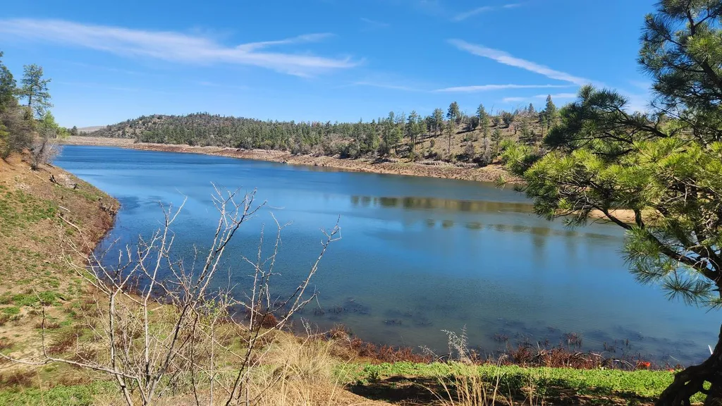 Lynx CampgroundCampingPhoto: Recreation.gov (RIDB) / public domain0.9 mi
 First Canyon aka The BoneyardRock climbingPhoto: Scottb211, CC BY 2.0 (via Flickr)4.1 mi
Source: Roamze catalog (indexable pages within 10 miles, PostGIS distance)
Salida GulchHiking · Next doorPhoto: Scottb211, CC BY 2.0 (via Flickr)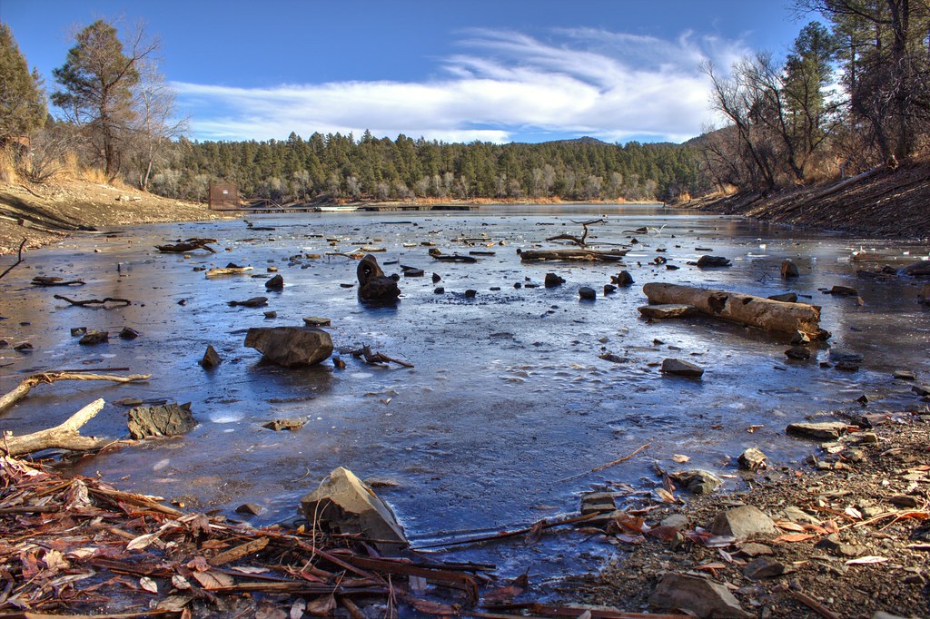 HighlandsHiking · ~1 min drivePhoto: Scottb211, CC BY 2.0 (via Flickr)
 Watershed Trail #299Hiking · ~6 min drivePhoto: Scottb211, CC BY 2.0 (via Flickr)
 Peavine TrailHiking · ~7 min drivePhoto: Tom Check from Prescott, USA, CC BY-SA 2.0 (via Wikimedia Commons)
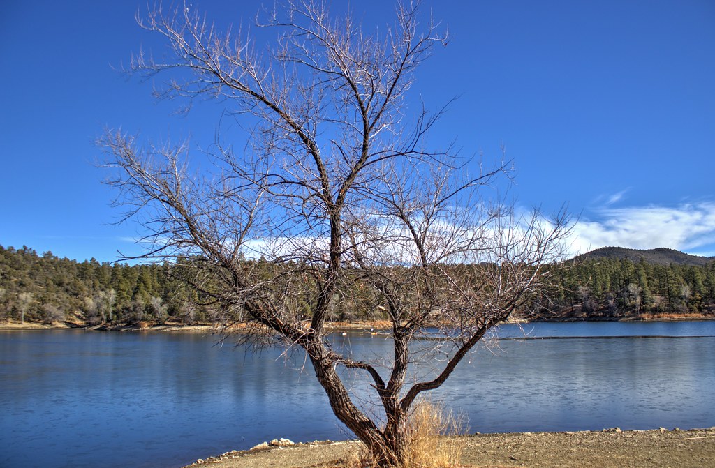 Lynx Lake Loop FHiking · ~2 min drivePhoto: Scottb211, CC BY 2.0 (via Flickr)Lynx RecreationHiking · ~1 min drivePhoto: Scottb211, CC BY 2.0 (via Flickr)
 Johns TankHiking · ~2 min drivePhoto: kevin dooley, Public Domain Dedication (CC0) (via Flickr)
Best months: March–May and September–October. Best months have typical highs of 55–85 °F, lows of 30 °F or warmer (32 °F where the station doesn't record snow), at most one snowy day and no more than 12 wet days.
Jan
53° / 24°
5 wet
Feb
55° / 26°
6 wet
Mar
61° / 32°
5 wet
Apr
68° / 37°
3 wet
May
76° / 45°
3 wet
Jun
87° / 54°
3 wet
Jul
90° / 61°
9 wet
Aug
87° / 60°
10 wet
Sep
82° / 52°
6 wet
Oct
73° / 40°
4 wet
Nov
62° / 30°
4 wet
Dec
52° / 24°
5 wet
Typical high / low (°F) and days with rain or snow, 1991–2020. Measured at Prescott, AZ, 3.7 mi away at 5,205 ft. This station doesn't record snowfall. Source: NOAA NCEI U.S. Climate Normals 1991–2020.
