Kanye's Krazy Loop
- 0.8 mi
- loop
- 62 ft
- climb
- 3,386 ft
- high point
- Loop
- route
- Oct–Apr
- best months
Kanye's Krazy Loop is a short, easy loop on Arizona's State Trust Land, managed by the State Department of Land. The trail is 0.8 miles long and sits at about 3,360 feet, with a high point of 3,386 feet and a low of 3,334 feet. The climb is flat, with a total gain and loss of 62 feet each, and the steepest stretch comes at about 0.33 miles in, with a grade of about 4 percent. Spring and fall are the most comfortable times to go. Typical averages from a nearby weather station at Tumacacori run from highs around 78°F in April to 81°F in October, while July and August average highs in the low 90s and bring the most wet days of the year. The loop takes about half an hour to complete. For more time on foot, the De Anza Trail lies about 2.5 miles away, and the Juan Bautista De Anza National Historic Trail is about 3.9 miles off. The Anza Trail is roughly 8.7 miles away, and Agua Caliente is about 10 miles away.
Local outfitters
- Patagonia RV Park21 mi away
Not on Roamze yet. Their page has how to reach them.
- De Anza TrailHiking2.5 mi
- Juan Bautista De Anza National Historic TrailHiking3.9 mi
- Juan Baptista De Anza National Historic TrailHiking4.4 mi
- Anza TrailHiking8.7 mi
- Agua CalienteHiking10 mi
Source: Roamze catalog (indexable pages within 10 miles, PostGIS distance)
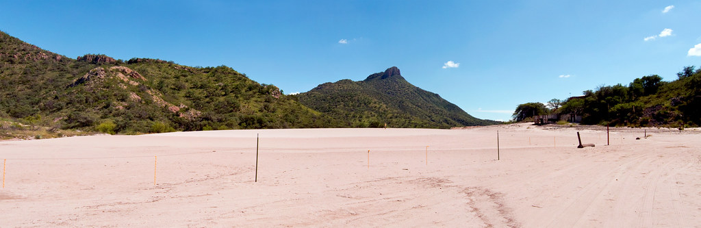
 Super Trail #134Hiking · ~24 min drivePhoto: Matthew Schallan, CC BY-SA 3.0 (via Wikimedia Commons)
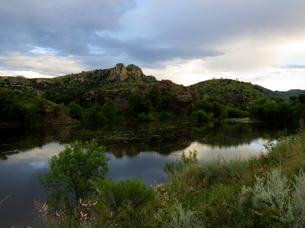
 Mineral Lake walkHiking · ~25 min drivePhoto: squeaks2569, CC BY-SA 2.0 (via Flickr)
- Kanye's Krazy LoopHiking · Next door
- Juan Bautista De Anza National Historic TrailHiking · ~7 min drive
 Pena BlancaHiking · ~26 min drivePhoto: treegrow, CC BY 2.0 (via Flickr)
- De Anza TrailHiking · ~4 min drive
- Old Baldy Trail #372Hiking · ~23 min drive
- Anza Trail ConnectorHiking · ~7 min drive
- Anza TrailHiking · ~16 min drive
- Kent SpringsHiking · ~25 min drive
Also worth it near here
Best time to visit Kanye's Krazy Loop
Best months: October–April. Best months have typical highs of 55–85 °F, lows of 30 °F or warmer (32 °F where the station doesn't record snow), at most one snowy day and no more than 12 wet days.
Jan
63° / 32°
4 wet
Feb
66° / 34°
3 wet
Mar
72° / 38°
3 wet
Apr
78° / 42°
1 wet
May
86° / 49°
1 wet
Jun
95° / 59°
3 wet
Jul
93° / 67°
10 wet
Aug
91° / 66°
10 wet
Sep
89° / 60°
5 wet
Oct
81° / 48°
3 wet
Nov
71° / 38°
2 wet
Dec
63° / 32°
4 wet
Typical high / low (°F) and days with rain or snow, 1991–2020. Measured at Tumacacori Nm, AZ, 4.4 mi away at 3,267 ft. Source: NOAA NCEI U.S. Climate Normals 1991–2020.


Map and trail data © OpenStreetMap contributors
