Loading…

Free — you'll pick up right here.
Watch this trail
Sign up to watch it — saving subscribes you to gate, closure and report changes.
Arizona
11.7 mi
Distance
947 ft
Gain
4h 23m
Time
An agency closure order is in effect for this area; weather is good
2 factors · 2 sources
Newest 6 h ago · oldest 28 d
problem: Agency alerts
29 active alerts in Prescott National Forest; most severe: Orchard Fire
USFS28 d ago
clear: Weather
Clouds, high 79°F / low 57°F, 35% precip — 79/100 for hike
OpenWeather6 h ago
Been out here in the last few days? One report keeps this current for everyone.
Why you'll love it
Juniper Mesa
AI-suggested draft · review before you go
No permit or access details on file for this trail — check with the local land manager before you go.
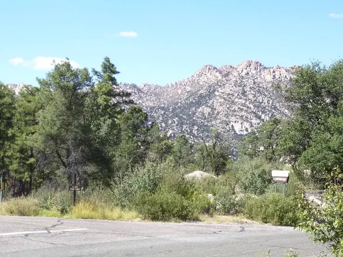
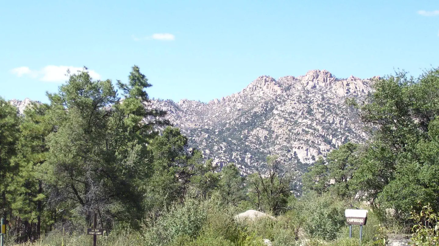
Juniper Mesa is an 11.7-mile out-and-back trail located in Arizona. The route features 947 feet of elevation gain, making it a moderate hike suitable for hikers with some experience. The trail takes you through Arizona's high desert landscape, characterized by juniper woodlands and mesa terrain that define this region. The out-and-back format means you'll retrace your steps on the return journey, allowing you to enjoy the scenery from both directions. With nearly 12 miles total distance and close to 1,000 feet of climbing, plan for a full day outing. The elevation gain is distributed across the route rather than concentrated in one section, providing a steady but manageable climb. This trail offers hikers the chance to experience Arizona's distinctive desert ecology and open vistas. Bring plenty of water, sun protection, and check conditions before heading out, as desert trails can be exposed and weather conditions can change. The Juniper Mesa trail provides an accessible way to explore Arizona's high desert backcountry.
Pine Creek
~3 min drive
1.4 mi · Easy
Oaks and Willows
~6 min drive
10 mi · Hard
Jim Higgs
~41 min drive
4.4 mi · Moderate
Bull Spring
~7 min drive
A demanding 1.03-mile out-and-back trail in Arizona linking to the Arizona National Scenic Trail.
Dennys
~40 min drive
5.8 mi · Hard
Baby Granite
~45 min drive
4.0 mi · Moderate
Upper Graver Wash
~8 min drive
2.4 mi · Easy
Jim N Gayle
~42 min drive
7.1 mi · Hard
Cedar Springs
~46 min drive
5.9 mi · Moderate
Happy Camp
~8 min drive
2.3 mi · Easy