
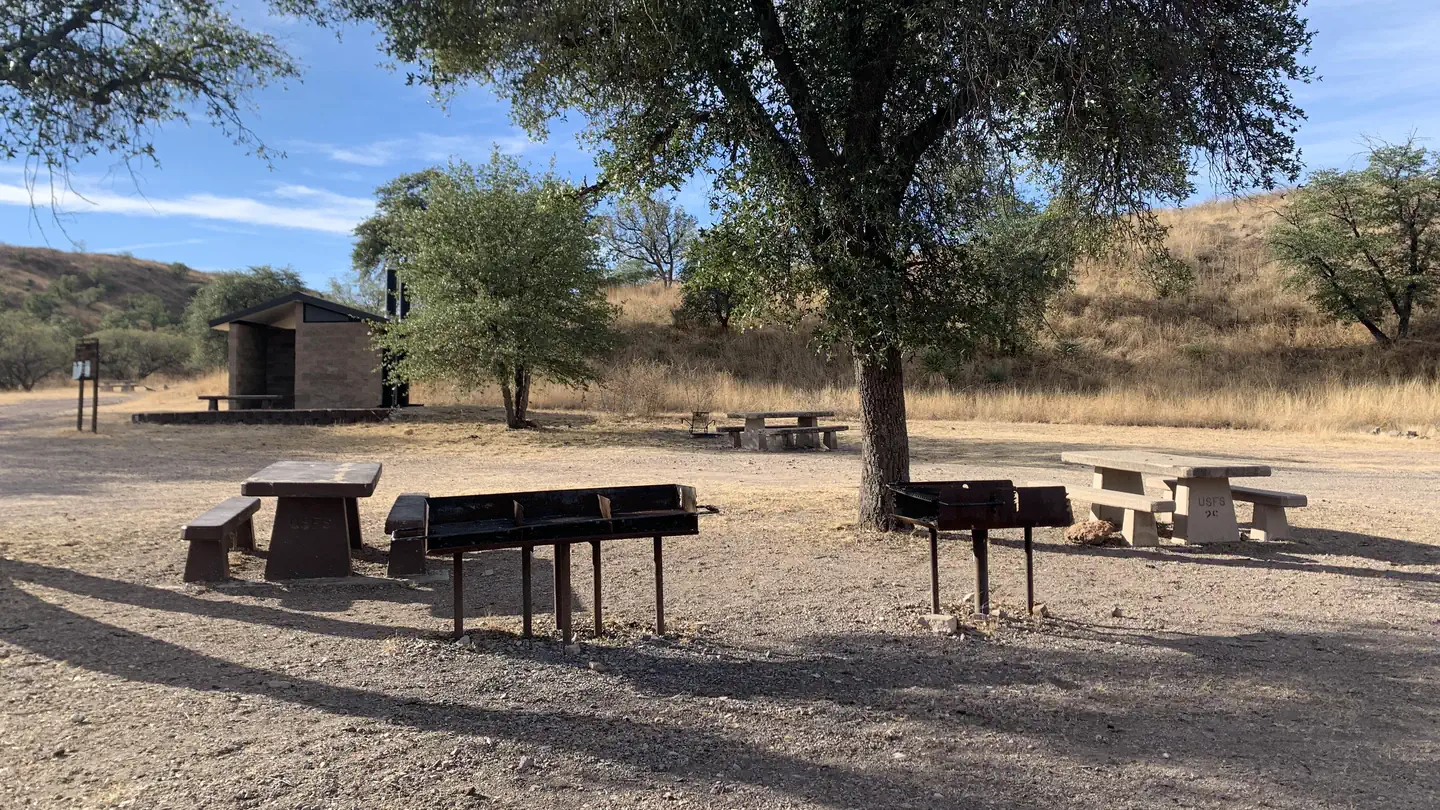
Patagonia RV Park
Hiking business nearby (~12 mi away) — hasn't claimed their Roamze page yet
Free — you'll pick up right here.
Watch this trail
Sign up to watch it — saving subscribes you to gate, closure and report changes.
Arizona
1.2 mi
Distance
566 ft
Gain
40 min
Time
Agency alerts are in effect for this area; weather is good
2 factors · 2 sources
Newest 11 h ago · oldest 27 d
caution: Agency alerts
7 active alerts in Coronado National Forest; most severe: Olson Cabin Closure 03-05-05-22-030
USFS27 d ago
clear: Weather
Clouds, high 81°F / low 57°F, 0% precip — 94/100 for hike
OpenWeather11 h ago
Been out here in the last few days? One report keeps this current for everyone.
Why you'll love it
Josephine Peak
AI-suggested draft · review before you go
Josephine Peak is a 1.2-mile out-and-back trail located in Arizona's WSR - WILD Wilderness area. The route features 566 feet of elevation gain, making it a moderate hike suitable for hikers seeking a relatively short but rewarding ascent. This trail takes you through designated wilderness terrain, offering visitors a chance to experience protected landscape away from developed areas. The out-and-back format means you'll retrace your route on the return, allowing for a straightforward navigation experience. With just over a mile to the peak and a respectable elevation gain, Josephine Peak provides solid aerobic activity in a compact package. The trail is ideal for those looking to maximize their time on the trail without committing to a lengthy day hike. The wilderness setting ensures a more remote experience compared to developed recreational areas. Whether you're training for longer hikes or prefer shorter summit objectives, Josephine Peak delivers accessible elevation gain and wilderness access in Arizona's rugged terrain.
Kent Springs
~3 min drive
2.9 mi · Easy
Josephine Canyon
~3 min drive
5.0 mi · Moderate
Walker Canyon Trail
~6 min drive
Remote 30-mile Arizona backcountry trail through canyon terrain.
Arizona Trail
~15 min drive
A 16.50-mile out-and-back Arizona trail connected to Passage 42 of the Arizona Trail system.
Vault Mine
~4 min drive
2.1 mi · Easy
Chinaman Trail #137
~5 min drive
9.9 mi · Moderate
Florida Canyon
~8 min drive
6.8 mi · Hard
Juan Baptista De Anza National Historic Trail
~25 min drive
Historic out-and-back trail following the de Anza expedition route.
Dutch John
~5 min drive
1.8 mi · Easy
Bog Springs
~6 min drive
5.3 mi · Moderate
Local operatorsoffering guided trips. You book directly with them — Roamze doesn’t take a cut.
Patagonia RV Park
Hiking business nearby (~12 mi away) — hasn't claimed their Roamze page yet