

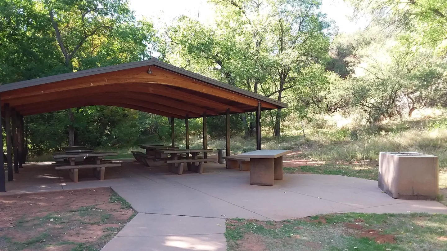
Rancho Sedona RV Park
Hiking business nearby (under a mile away) — hasn't claimed their Roamze page yet
Free — you'll pick up right here.
Watch this trail
Sign up to watch it — saving subscribes you to gate, closure and report changes.
Arizona
2.4 mi
Distance
268 ft
Gain
55 min
Time
An agency closure order is in effect for this area; weather is good
2 factors · 2 sources
Newest 23 h ago · oldest 6 d
problem: Agency alerts
17 active alerts in Coconino National Forest; most severe: West Fork Temporary Area Closure
USFS6 d ago
clear: Weather
Clouds, high 88°F / low 64°F, 0% precip — 86/100 for hike
OpenWeather23 h ago
Been out here in the last few days? One report keeps this current for everyone.
Why you'll love it
Javelina
AI-suggested draft · review before you go
No permit or access details on file for this trail — check with the local land manager before you go.
The Javelina Trail is a 2.4-mile out-and-back hike located in Arizona. With 268 feet of elevation gain, this is a relatively gentle trail suitable for hikers of various skill levels. The moderate terrain and manageable distance make it an accessible option for a half-day outing. This trail offers an opportunity to explore Arizona's landscape in a compact format. The out-and-back route allows hikers to turn around at any point, providing flexibility for those wanting to adjust their hiking distance. The elevation gain is distributed throughout the route, creating a steady but not strenuous climb. The Javelina Trail is ideal for hikers seeking a shorter excursion without requiring significant time commitment or advanced fitness levels. Whether you're looking for a quick nature walk or a more leisurely pace, this trail accommodates different preferences. The modest elevation gain means less physical demand compared to longer or steeper Arizona trails, making it a good choice for families or those new to hiking.
Grand Central #661
~0 min drive
4.0 mi · Easy
Airport Loop #210
~2 min drive
3.3 mi · Moderate
Manzanita #675
~1 min drive
0.6 mi · Easy
Munds Wagon #78
~2 min drive
7.7 mi · Moderate
Margs Draw Spur A #163A
~1 min drive
0.8 mi · Easy
Huckaby #161
~3 min drive
6.1 mi · Moderate
Powerline Plunge #668
~2 min drive
0.7 mi · Easy
Coconino Loop #126
~2 min drive
0.3 mi · Easy
Jordan #186
~2 min drive
3.0 mi · Easy
Summit #126B
~2 min drive
0.0 mi · Easy
Local operatorsoffering guided trips. You book directly with them — Roamze doesn’t take a cut.
Rancho Sedona RV Park
Hiking business nearby (under a mile away) — hasn't claimed their Roamze page yet
Canyon Outfitters Sedona
Hiking business nearby (~2 mi away) — hasn't claimed their Roamze page yet
Camp Avalon Spiritual Nature Retreat
Hiking business nearby (~4 mi away) — hasn't claimed their Roamze page yet