Dispersed Site 6
Campground
Campground · 0.9 mi from the trail
Closure in the area
There's a closure order in Bradshaw Ranger District. It doesn't name Groom Creek Loop, so check the source for the area it covers (2 listed).
Lynx Lake Boat Ramp and Trail Closure Order
Agency closure covering Bradshaw Ranger District · Order 03-09-03-26-12 · USFS · Bradshaw Ranger District
NFS Road 354 Closure Order #03-07-26-02
Agency closure covering Prescott National Forest · Order 03-07-26-02 · USFS · Prescott National Forest
As of · Source: USFS · Bradshaw Ranger District. Agencies don't list every closure — check before you go.
Groom Creek Loop is a 9-mile loop in the Bradshaw Ranger District of Prescott National Forest in Arizona. The trail rises from about 6,300 feet to roughly 7,650 feet, with a total elevation gain of 1,047 feet, and it is rated as a hard hike. The Forest Service manages the land, and the trail is open year-round. The route is natural-surfaced and allows both horses and bikes, so it works well as a riding or pack trip. The parking area is the Groom Creek Equestrian Trailhead, designated as site 307, and the estimated time for the loop is about 3.5 hours. Several other destinations sit close by. The Isabella hike is less than a mile away, and the Dandrea Trail #285 is about a mile off. The Groom Creek Horse Camp and the Wolf Creek, 384 Boulders climbing area are each about 1.7 miles from the trail.
Dispersed Site 6
Campground
Los Pinos Mexican Food
Mexican restaurant
 If it rainsDoncram, CC BY-SA 3.0 · Wikimedia Commons
An open-air museum located in Prescott, Arizona
Places © OpenStreetMap contributors, Places © Overture Maps Foundation · Photos: Doncram, CC BY-SA 3.0 (commons)
More in PrescottNot on Roamze yet. Their page has how to reach them.
Daily highs and lows, wind and the chance of precipitation at the summit and route start for the next 7 days, from the Open-Meteo model.
 IsabellaHikingPhoto: gizilich, CC BY-SA 3.0 (via Wikimedia Commons)0.7 mi
 Dandrea Trail #285HikingPhoto: gizilich, CC BY-SA 3.0 (via Wikimedia Commons)1.1 mi
Source: Roamze catalog (indexable pages within 10 miles, PostGIS distance)
Dandrea Trail #285Hiking · ~2 min drivePhoto: gizilich, CC BY-SA 3.0 (via Wikimedia Commons) Yankee Doodle Trail #284Hiking · ~4 min drivePhoto: Ken Lund from Reno, Nevada, USA, CC BY-SA 2.0 (via Wikimedia Commons)
 E Cross LHiking · ~5 min drivePhoto: gizilich, CC BY-SA 3.0 (via Wikimedia Commons)
 Schoolhouse Gulch Trail #67Hiking · ~6 min drivePhoto: Scottb211, CC BY 2.0 (via Flickr)GrapevineHiking · ~8 min drivePhoto: Ken Lund from Reno, Nevada, USA, CC BY-SA 2.0 (via Wikimedia Commons)Watershed Trail #299Hiking · ~6 min drivePhoto: Scottb211, CC BY 2.0 (via Flickr)Goldwater Loop TrailHiking · ~7 min drivePhoto: Scottb211, CC BY 2.0 (via Flickr)
 Lynx RecreationHiking · ~10 min drivePhoto: Scottb211, CC BY 2.0 (via Flickr)PINE CREEKHiking · ~7 min drivePhoto: Ken Lund from Reno, Nevada, USA, CC BY-SA 2.0 (via Wikimedia Commons)
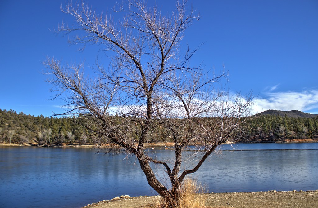 Lynx Lake Loop FHiking · ~9 min drivePhoto: Scottb211, CC BY 2.0 (via Flickr)
Park at GROOM CREEK EQUESTRIAN TRAILHEAD (307).
Season: Year-round.
About 9.0 mi from GROOM CREEK EQUESTRIAN TRAILHEAD (307) (about 7,454 ft).
About 1,047 ft of climbing round trip.
It is rated hard.
GROOM CREEK EQUESTRIAN TRAILHEAD (307) (about 7,454 ft).
About 3.5 hours round trip.
Year-round.
