Grant Hill Loop B
- 1.5 mi
- round trip
- 122 ft
- climb
- 9,419 ft
- high point
- Out and back
- route
Is Grant Hill Loop B open right now?
Alert in the area
The Forest Service lists 3 alerts for Coronado National Forest.
Border Barrier Construction Closure
Agency alert covering Coronado National Forest · Order 03-05-00-26-011 · USFS · Coronado National Forest
No Fire Restrictions
Agency alert covering Coronado National Forest · USFS · Coronado National Forest
Barfoot Snake Closure Order 03-05-01-24-004
Agency alert covering Coronado National Forest · USFS · Coronado National Forest
As of · Source: USFS · Coronado National Forest. Agencies don't list every closure — check before you go.
Grant Hill Loop B is an easy hike of about 1.5 miles in the Safford Ranger District of Coronado National Forest in southeastern Arizona. The Forest Service manages the land, and the trail is a short out-and-back with a low point of about 9,286 feet and a high of about 9,419 feet. The climb is gentle, with a total elevation gain of about 122 feet. The trail is natural-surfaced and allows bikes, so it works for both hikers and mountain bikers. Several other routes start close by, including Grant Hill Loop A and Grant Hill Loop D, and the Grant Hill Loop C mountain biking route is about 0.3 miles away. For an overnight stay, Hospital Flat and Upper Hospital Flat Group Site are both about half a mile off, and Treasure Park - North is about 0.6 miles away.
 Grant Hill LoopMountain bikingPhoto: Kjunewright, CC BY-SA 4.0 (via Wikimedia Commons)0.1 mi
- Grant Hill Loop AMountain bikingPhoto: Kjunewright, CC BY-SA 4.0 (via Wikimedia Commons)0.1 mi
- Grant Hill Loop DHiking0.1 mi
 Grant Hill Loop CMountain bikingPhoto: Outdoor Craziness, CC BY-SA 3.0 (via Wikimedia Commons)0.3 mi
- Hospital FlatCamping0.5 mi
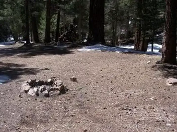 Upper Hospital Flat Group SiteCampingPhoto: Recreation.gov (RIDB) / public domain0.5 mi
- Treasure Park - NorthCamping0.6 mi
- Treasure Park - EastCamping0.6 mi
Source: Roamze catalog (indexable pages within 10 miles, PostGIS distance)
 Heliograph Trail #328AHiking · ~4 min drivePhoto: squeaks2569, CC BY-SA 2.0 (via Flickr)
 Shake Trail #309Hiking · ~7 min drivePhoto: squeaks2569, CC BY-SA 2.0 (via Flickr)
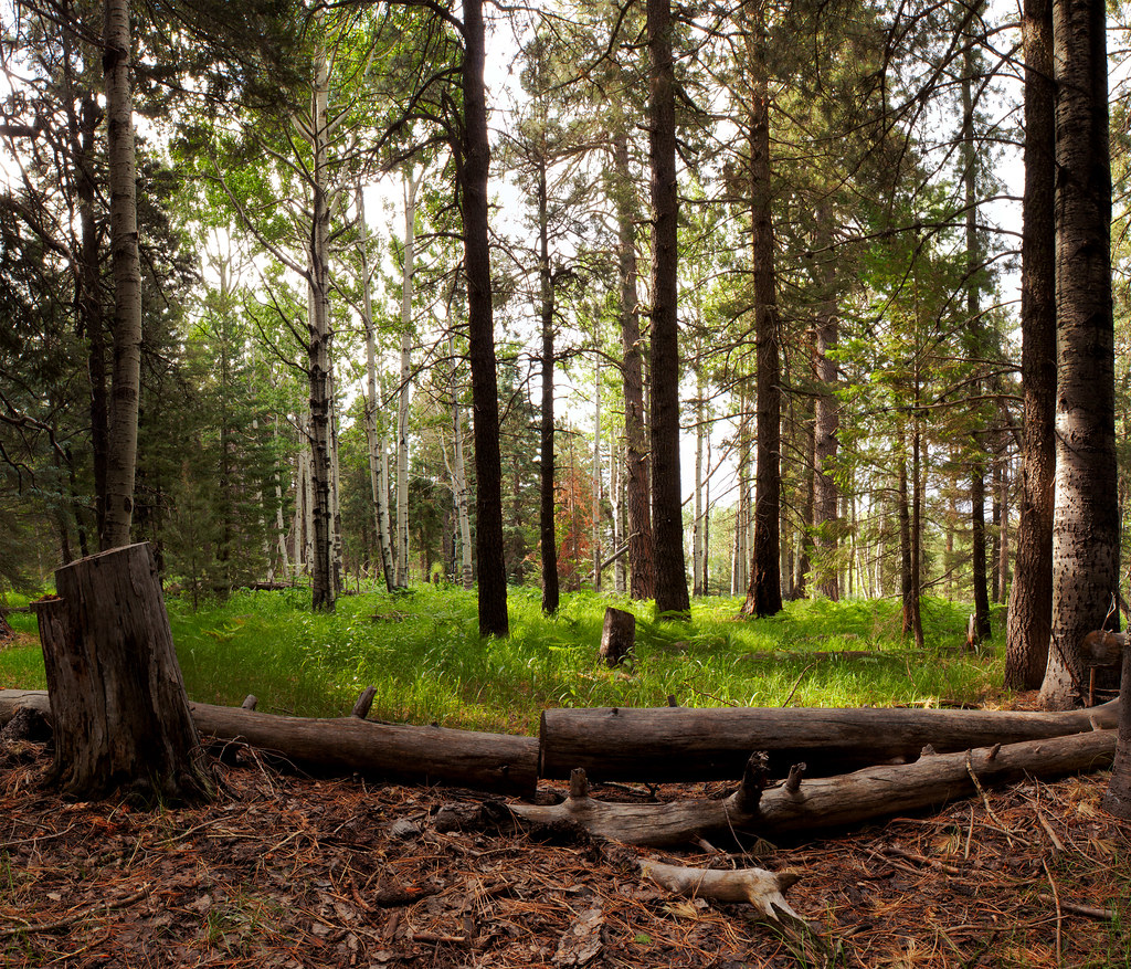 Jesus Goudy Ridge Trail #298Hiking · ~9 min drivePhoto: squeaks2569, CC BY-SA 2.0 (via Flickr)
 Round the Mountain Trail #302Hiking · ~7 min drivePhoto: em_burk, CC BY-SA 2.0 (via Flickr)
- Turkey FlatHiking · ~8 min drivePhoto: squeaks2569, CC BY-SA 2.0 (via Flickr)
 Blair CanyonHiking · ~8 min drivePhoto: squeaks2569, CC BY-SA 2.0 (via Flickr)
- Grant Goudy Ridge Trail #310Hiking · ~5 min drive
- Grant CreekHiking · ~3 min drive
 Ash Creek DetourHiking · ~8 min drivePhoto: em_burk, CC BY-SA 2.0 (via Flickr)
- Arcadia Trail #328Hiking · ~3 min drivePhoto: squeaks2569, CC BY-SA 2.0 (via Flickr)
Also worth it near here
- Grant Hill LoopMountain biking · Next doorPhoto: Kjunewright, CC BY-SA 4.0 (via Wikimedia Commons)
- Upper Hospital Flat Group SiteCamping · Next door
 Mount GrahamSummit · ~5 min drivePhoto: No machine-readable author provided. GreatInca assumed (based on copyright claims)., CC BY-SA 3.0 (via Wikimedia Commons)
- Ash Creek FallsWaterfall · ~8 min drive
