Barnett Camp
Campground
Campground · 8.9 mi from the trail
Alert in the area
The Forest Service lists 7 alerts for Tonto National Forest.
Rattlesnake Cove Developed Recreation Site - Post Flood Recovery and Public Safety Closure
Agency alert covering Tonto National Forest · Order 3-12-01-26-36 · USFS · Tonto National Forest
Motorized Trail 360 Emergency Public Safety Closure
Agency alert covering Globe Ranger District · Order 03-12-02-26-35 · USFS · Globe Ranger District
Canyon Lake Drawdown Public Safety Closure
Agency alert covering Tonto National Forest · Order 03-12-00-26-22 · USFS · Tonto National Forest
No Fire Restrictions
Agency alert covering Tonto National Forest · USFS · Tonto National Forest
Pinto Valley Mine Blasting Area Closure - Extension for Public Health & Safety
Agency alert covering Globe Ranger District · Order 03-12-02-26-03 · USFS · Globe Ranger District
As of · Source: USFS · Tonto National Forest. Agencies don't list every closure — check before you go.
Campaign is a hard hike in Arizona's Superstition Wilderness, within the Globe Ranger District of Tonto National Forest. The route is an out-and-back of about 18.8 miles, with a total elevation gain of 1,626 feet, taking you from a low point of about 3,252 feet to a high of about 5,345 feet. The trail is on natural surface and bikes are not allowed. The hike is open year-round, and the Forest Service manages the land. The route is long and the climb is significant, so plan for a full day on foot. Cuff Button lies just 0.2 miles away, and West Pinto Creek Trail is about 0.7 miles off. Bull Basin and Paradise are both within a few miles. For an overnight base, Oak Flat campground is about 9.6 miles away.
Barnett Camp
Campground
LA MINA
Bar
Celia Blaylock aka Mattie Earp Grave Site
Attraction
Places © OpenStreetMap contributors, Places © Overture Maps Foundation
More in SuperiorNot on Roamze yet. Their page has how to reach them.
Source: Roamze catalog (indexable pages within 10 miles, PostGIS distance)
 Legends of Superior TrailHiking · ~18 min drivePhoto: CWanamaker, CC BY 3.0 (via Wikimedia Commons)
 Legends of Superior TrailHiking · ~19 min drivePhoto: William Herron, CC BY-SA 2.0 (via Flickr)
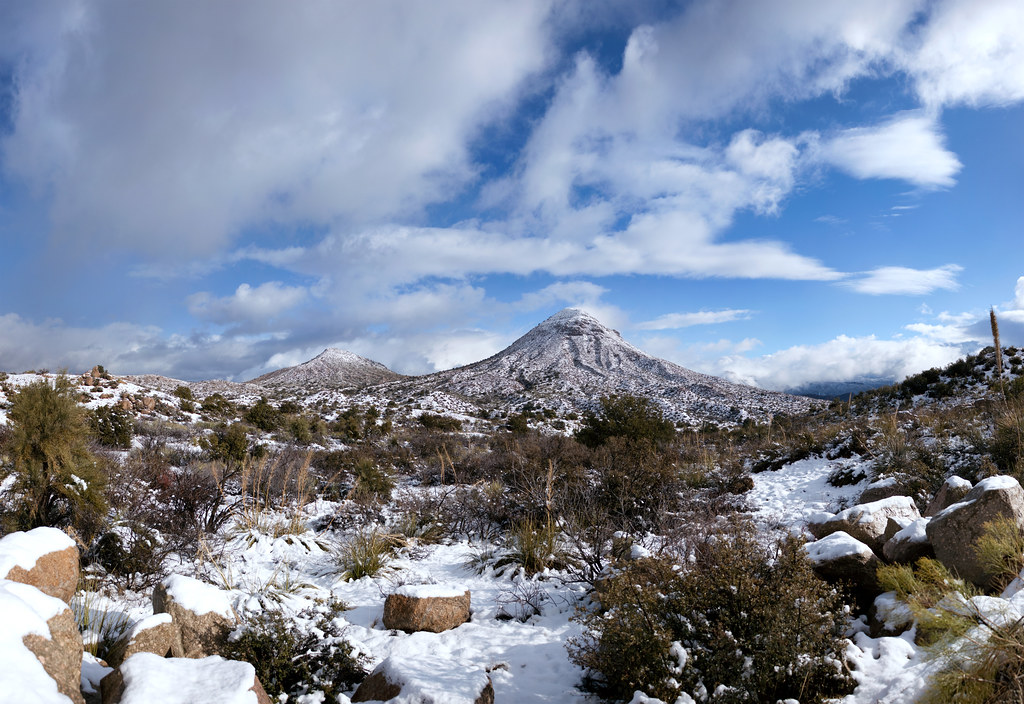 Old Apache TrailHiking · ~21 min drivePhoto: squeaks2569, CC BY-SA 2.0 (via Flickr)

