
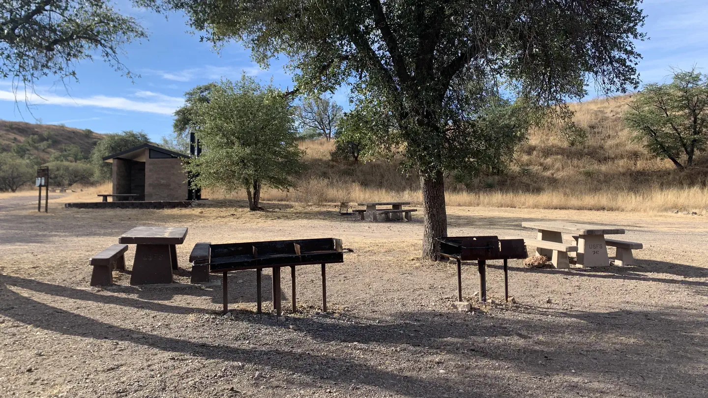
Patagonia RV Park
Hiking business nearby (~15 mi away) — hasn't claimed their Roamze page yet
Free — you'll pick up right here.
Watch this trail
Sign up to watch it — saving subscribes you to gate, closure and report changes.
Arizona
5.3 mi
Distance
1,736 ft
Gain
2h 39m
Time
We won't guess. Here is exactly what we do and don't know.
What we do know
Inside Coronado National Forest
2 managing-area boundaries mapped — agency alerts for them feed this page automatically.
Boundary data
What's missing
No access route mapped
We don't yet know which road reaches this trailhead, so we can't tell you if it's gated.
Nobody's filed a report here yet — be the first.
Why you'll love it
Bog Springs
AI-suggested draft · review before you go
No permit or access details on file for this trail — check with the local land manager before you go.
Bog Springs is a 5.3-mile out-and-back trail located in Arizona. The route features 1,736 feet of elevation gain, making it a moderately challenging hike. The trail takes hikers through the Arizona landscape, with steady climbing throughout the journey. The out-and-back format means hikers will retrace their route on the return, allowing for flexibility in how far they want to venture before turning around. This trail is suitable for hikers with moderate fitness levels who are prepared for elevation gain. The distance and elevation make it a half-day option for most hikers. Those considering this trail should come equipped for Arizona conditions and be prepared for the sustained climbing involved in reaching higher elevations.
Dutch John
~1 min drive
1.8 mi · Easy
Cave Canyon
~4 min drive
7.4 mi · Hard
Quantrell Mine
~6 min drive
5.6 mi · Moderate
Arizona Trail
~15 min drive
A 16.50-mile out-and-back Arizona trail connected to Passage 42 of the Arizona Trail system.
Vault Mine
~3 min drive
2.1 mi · Easy
Florida Canyon
~5 min drive
6.8 mi · Hard
Josephine Canyon
~7 min drive
5.0 mi · Moderate
Juan Baptista De Anza National Historic Trail
~25 min drive
Historic out-and-back trail following the de Anza expedition route.
Kent Springs
~3 min drive
2.9 mi · Easy
Agua Caliente
~7 min drive
10 mi · Hard
Local operatorsoffering guided trips. You book directly with them — Roamze doesn’t take a cut.
Patagonia RV Park
Hiking business nearby (~15 mi away) — hasn't claimed their Roamze page yet