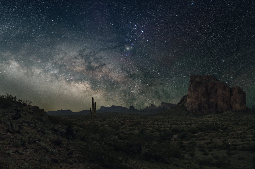
Natural Arch
- 1,632 ft
- elevation
- Bureau of Land Management
- managed by
- Nov–Mar
- best months
Natural Arch is a natural arch in Maricopa County, Arizona, at about 1,632 feet.
- Elevation
- 1,632 ft
- Land manager
- Bureau of Land Management
Elevation from USGS 3D Elevation Program terrain data (about 10 m resolution).
- Natural ArchNatural arch · ~17 min drive
- Eagletail ArchNatural arch · ~19 min drive
- Natural ArchNatural arch · ~20 min drive
- Natural ArchNatural arch · ~20 min drive
- Natural ArchNatural arch · ~26 min drive
- Natural ArchNatural arch · ~28 min drive
- Triple EyeNatural arch · ~33 min drive
- Natural ArchNatural arch · ~36 min drive
- Natural ArchNatural arch · ~36 min drive
- Conflagration ArchNatural arch · ~37 min drive
Best time to visit Natural Arch
Best months: November–March. Best months have typical highs of 55–85 °F, lows of 30 °F or warmer (32 °F where the station doesn't record snow), at most one snowy day and no more than 12 wet days.
Jan
69° / 41°
2 wet
Feb
73° / 45°
2 wet
Mar
80° / 50°
2 wet
Apr
87° / 57°
1 wet
May
95° / 64°
0 wet
Jun
105° / 73°
1 wet
Jul
108° / 82°
3 wet
Aug
107° / 81°
3 wet
Sep
102° / 73°
2 wet
Oct
91° / 59°
1 wet
Nov
78° / 47°
1 wet
Dec
69° / 40°
2 wet
Typical high / low (°F) and days with rain or snow, 1991–2020. Measured at Painted Rock Dam, AZ, 20.5 mi away at 568 ft. The station sits about 1,100 ft lower than this place, so expect it a little cooler here. Source: NOAA NCEI U.S. Climate Normals 1991–2020.