Co Rd 491 Hunter Point (Coon Creek)
- Feb–May, Sep–Nov
- best months
Clear at last check
Weather is good · OpenWeather · checked 22 h ago
Co Rd 491 Hunter Point, also known as Coon Creek, is a boat launch in northern Alabama, about 4.7 miles from the town of Pisgah. It serves as a put-in for boaters heading onto the water in this corner of the state. Spring and fall are the most comfortable times to visit. Typical averages from a nearby weather station in Scottsboro show October highs around 73°F with lows near 48°F, and April is similar at about 73°F by day and 47°F at night. Summer runs hotter, with July and August highs typically near 88°F. Lake Guntersville, a fishing destination, lies about 8.7 miles away and makes a natural pairing for a day on the water.
Source: Roamze catalog (indexable pages within 10 miles, PostGIS distance)
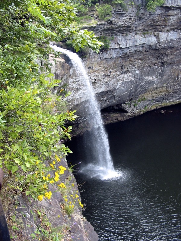
 West Chickamauga CreekCanoeing · ~45 min drivePhoto: Muhranoff, CC BY-SA 4.0 (via Wikimedia Commons)
- Hwy 46 (TN River)Boat launch · ~2 min drive
- Miller CreekCanoeing · ~21 min drive
- Hwy 2 Public Ramp (Mud Creek)Boat launch · ~6 min drive
- Long Island CreekCanoeing · ~22 min drive
- Rt 2/Lee Hwy Bridge (Crow Creek)Boat launch · ~10 min drive
- Town CreekCanoeing · ~24 min drive
- Hwy 117 Boat RampBoat launch · ~10 min drive
- Kirby CreekCanoeing · ~24 min drive
- City Park Ramp (Crow Creek)Boat launch · ~12 min drive
Best time to visit Co Rd 491 Hunter Point (Coon Creek)
Best months: February–May and September–November. Best months have typical highs of 55–85 °F, lows of 30 °F or warmer (32 °F where the station doesn't record snow), at most one snowy day and no more than 12 wet days.
Jan
51° / 30°
11 wet
Feb
56° / 33°
11 wet
Mar
64° / 39°
11 wet
Apr
73° / 47°
10 wet
May
79° / 56°
10 wet
Jun
86° / 64°
10 wet
Jul
88° / 68°
11 wet
Aug
88° / 67°
9 wet
Sep
83° / 60°
7 wet
Oct
73° / 48°
8 wet
Nov
62° / 37°
9 wet
Dec
54° / 33°
11 wet
Typical high / low (°F) and days with rain or snow, 1991–2020. Measured at Scottsboro 2 Ne, AL, 10.1 mi away at 636 ft. This station doesn't record snowfall. Source: NOAA NCEI U.S. Climate Normals 1991–2020.
Map and trail data © OpenStreetMap contributors
