Harris Trail
- 1.0 mi
- distance
- 570 ft
- climb
- Natural
- surface
- Feb–May, Oct–Dec
- best months
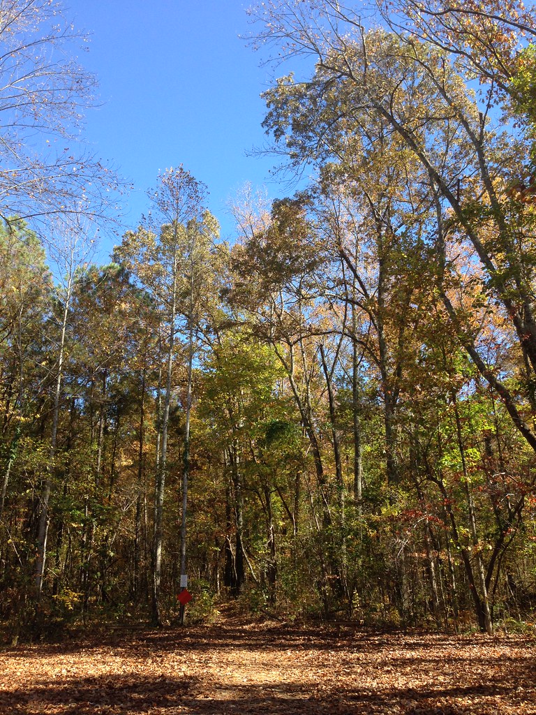
Harris Trail offers a quick 1.03-mile ride through Wade Mountain Preserve in Alabama, making it an excellent option for riders looking to squeeze in a session or introduce newcomers to the area. Located within the preserve's network, this trail provides access to the natural terrain and forest environment that Wade Mountain has to offer. Whether you're passing through or making it part of a longer day on the preserve's trail system, Harris Trail delivers a compact riding experience in the heart of Alabama's outdoor recreation landscape.
 Sinks TrailMountain biking · ~13 min drivePhoto: Mike Tilley, CC BY 3.0 (via Wikimedia Commons)
- Bluebell HollerMountain biking · ~13 min drivePhoto: Mike Tilley, CC BY 3.0 (via Wikimedia Commons)
- Bluebell AlternateMountain biking · ~13 min drivePhoto: Mike Tilley, CC BY 3.0 (via Wikimedia Commons)
- ShoveltonMountain biking · Next door
- Rockwall TrailMountain biking · Next door
- Devil's Racetrack TrailMountain biking · Next door
- Fossil Bench TrailMountain biking · ~2 min drive
- Wade Mountain GreenwayMountain biking · ~3 min drive
- Panther Knob TrailMountain biking · ~12 min drive
- Logan Point TrailMountain biking · ~12 min drive
Best time to visit Harris Trail
Best months: February–May and October–December. Best months have typical highs of 55–85 °F, lows of 30 °F or warmer (32 °F where the station doesn't record snow), at most one snowy day and no more than 12 wet days.
Jan
52° / 33°
11 wet
Feb
57° / 36°
11 wet
Mar
65° / 43°
11 wet
Apr
75° / 51°
10 wet
May
83° / 60°
10 wet
Jun
89° / 68°
10 wet
Jul
92° / 71°
10 wet
Aug
91° / 70°
9 wet
Sep
86° / 63°
7 wet
Oct
76° / 52°
8 wet
Nov
64° / 41°
9 wet
Dec
55° / 36°
11 wet
Typical high / low (°F) and days with rain or snow, 1991–2020. Measured at Huntsville Intl Ap, AL, 16.1 mi away at 624 ft. The station sits about 600 ft lower than this place, so expect it a little cooler here. This station doesn't record snowfall. Source: NOAA NCEI U.S. Climate Normals 1991–2020.
Map and trail data © OpenStreetMap contributors
