Rockwall Trail
- 0.7 mi
- round trip
- 234 ft
- climb
- 946 ft
- high point
- Out and back
- route
- Feb–May, Oct–Dec
- best months
Rockwall Trail is a short, easy hike in Wade Mountain Preserve in northern Alabama, managed by a non-governmental organization. The trail is about 0.7 miles long and rises roughly 100 feet from its starting point, which sits at about 900 feet. The full out-and-back route is about 1.5 miles, with a total climb of about 234 feet. Spring and fall are the most comfortable times to go. Typical averages from a nearby weather station in Huntsville show October highs around 76°F with lows near 52°F, and April is similar at about 75°F by day and 51°F at night. That station sits a few hundred feet lower than the trail, so temperatures on the preserve run a little cooler. Several other trails start within half a mile, including Harris Trail, Shovelton Trail and Devil's Racetrack Trail. Fossil Bench Trail is about a mile away.
Best time to go · Feb–May, Oct–Dec
Best time to visit Rockwall Trail
Best months: February–May and October–December. Best months have typical highs of 55–85 °F, lows of 30 °F or warmer (32 °F where the station doesn't record snow), at most one snowy day and no more than 12 wet days.
Jan
52° / 33°
11 wet
Feb
57° / 36°
11 wet
Mar
65° / 43°
11 wet
Apr
75° / 51°
10 wet
May
83° / 60°
10 wet
Jun
89° / 68°
10 wet
Jul
92° / 71°
10 wet
Aug
91° / 70°
9 wet
Sep
86° / 63°
7 wet
Oct
76° / 52°
8 wet
Nov
64° / 41°
9 wet
Dec
55° / 36°
11 wet
Typical high / low (°F) and days with rain or snow, 1991–2020. Measured at Huntsville Intl Ap, AL, 16 mi away at 624 ft. This station doesn't record snowfall. Source: NOAA NCEI U.S. Climate Normals 1991–2020.
Keep exploring — more trails worth the drive
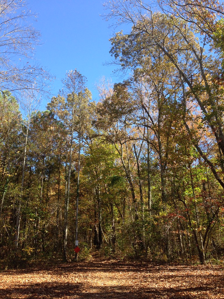 Photo: ShanMcG213, CC BY-SA 2.0 (via Flickr)
Bostick Trail
~2 min drive
1.37-mile out-and-back trail in Alabama with 506 ft gain
 Photo: dmtilley, CC BY 3.0 (via Wikimedia Commons)
Tollgate Trail
~10 min drive
0.64-mile out-and-back trail in Alabama with 108 ft gain.
 Photo: dmtilley, CC BY 3.0 (via Wikimedia Commons)
Dummy Line Trail
~10 min drive
1.34-mile out-and-back trail in Alabama with 573 ft gain.
HIKE
Wade Mountain Nature Reserve National Recreation Trails
~3 min drive
9.76-mile moderate trail through Wade Mountain Nature Reserve in Alabama.
Photo: dmtilley, CC BY 3.0 (via Wikimedia Commons)The Portal
~11 min drive
0.33-mile lollipop trail in Alabama with 9 ft gain and 89 ft loss.
 Photo: bionicteaching, CC BY-SA 2.0 (via Flickr)
Stone Cuts Trail
~11 min drive
Short Alabama trail featuring scenic cuts and geological interest.
HIKE
Panther Knob Trail
~11 min drive
0.40-mile out-and-back trail in Alabama's state park system with 191 ft of elevation gain.
 Photo: dmtilley, CC BY 3.0 (via Wikimedia Commons)
Logan Point Trail
~11 min drive
1.36-mile out-and-back trail to Logan Point in Alabama with 572 ft gain.
Photo: dmtilley, CC BY 3.0 (via Wikimedia Commons)Bankhead Trail
~10 min drive
1.89-mile out-and-back trail in Alabama with 707 ft gain.
HIKE
Mckay Hollow Trail
~11 min drive
2.38-mile out-and-back trail in Alabama with 751 ft gain.

Map and trail data © OpenStreetMap contributors
